Full article about Wolfram Shadows & Goat-Bell Silence in Cabreiros
Walk a Nazi tungsten tunnel, then follow goat tracks to a ridge-top chapel feast.
Hide article Read full article
The Mountain That Fed and Scarred
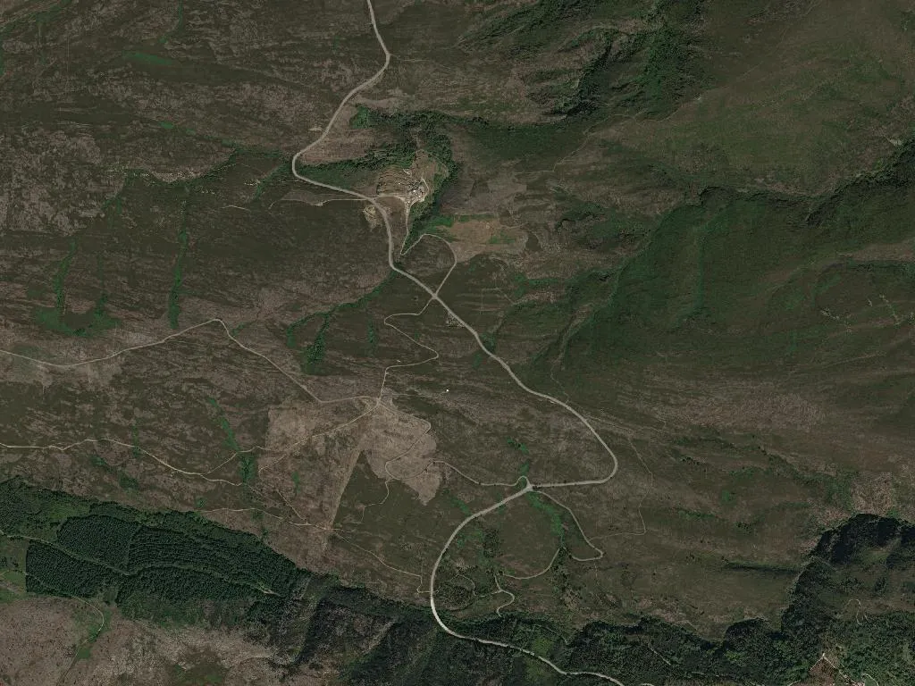
A pickaxe still rings inside the abandoned Rio de Frades tunnel, where crews bored 47 km of galleries into schist between 1941 and 1962 to feed Nazi Germany’s war machine with Portuguese wolfram. Water drips from the blast-scarred ceiling, forming a man-made cascade that glints like mercury under a head-torch. At 966 m above sea level, the civil parish union of Cabreiros and Albergaria da Serra—population 185, median age 67—sits atop the largest tungsten concession the country ever granted.
Industrial pasture
The name Cabreiros derives from the Galician “cabreiro”, goat pasture, and for centuries that was the economy: transhumant flocks summered on these ridges, trading wool and kid skins for salt and iron. Then came the geological survey of 1940 that identified scheelite in the quartz veins. Within months the Companhia Mineira do Norte de Portugal—locals simply called it “a Alemã” because every tonne of ore was rail-shipped to the Reich—had dynamited bench roads into the slopes and thrown up terraced workers’ hamlets of pre-fabricated timber. At peak shift the sirens swallowed the bells of Santa Bárbara’s chapel; 3 500 men disappeared underground.
Today you can walk the 200 m of Vale da Cerdeira gallery that has been reopened for geotourism. The air smells of wet stone and pyrite; halfway in the darkness folds behind you and the only sound is water drumming on steel rails left as industrial archaeology. Switch off your lamp and the blackness is total—until your pupils adjust and you realise the tunnel walls glitter with the same manganese oxide that once outlined shift patterns in chalk.
Saints on the ridge
The year still pivots on three Marian feasts. On the first Sunday of May households carry the statue of Queen Saint Mafalda—daughter of King Sancho I, patron of battered wives—along the cliff road to the tiny balneary chapel. August brings the pilgrimage to Senhora da Laje, when women in black headscarves climb the basalt steps to a rocky outcrop that looks east over the Douro watershed. September belongs to Nossa Senhora da Mó, named for the granite millstone that serves as her altar; after mass the priest tips local honey into glasses of aguardente, and the congregation toasts the harvest.
The food is mountain-rustic but now carries DOP and IGP papers that would make a London chef covetous. Cabrito da Gralheira IGP—milk-fed kid roasted with salt, garlic and the wild rosemary that grows between the boulders—arrives pink-fleshed and scented with woodsmoke. Carne Arouquesa DOP, from cattle that graze the high pastures at 1 000 m, is slow-braised in red wine and bay until the collagen turns to velvet. Dessert is toucinho-do-céu—“bacon from heaven”—a conventual almond cake sweetened with dark amber Mel das Terras Altas do Minho DOP whose hives are trucked up here in June to exploit the heather bloom.
Megaliths and mill tailings
From the Detrelo da Malhada lookout at 1 227 m the view south rolls out in corrugated waves: the Serra da Freita, the Serra do Arestal, the Serra de Valongo beyond—Portugal’s dorsal spine. Drop off the ridge on the marked geotrail and you pass the mamoa of Portela da Anta, a 5 000-year-old burial chamber half-swallowed by gorse and heather; its capstone is scarred by the same quartz veins that doomed the mountain to twentieth-century industry. Further downhill the mine complex spreads like a ruined city: terraced foundations, the collapsed roof of the Santa Bárbara changing room, a settling pond now colonised by cistus and broom. Interpretive boards quote UNESCO’s 2009 citation that made Arouca a Global Geopark: “a territory where geological heritage sustains sustainable development.” Translation: the council turned 47 km of toxic tunnels into narrative infrastructure, complete with augmented-reality headsets that overlay 1940s film footage onto the ruins.
Walking here demands lungs and respect. The partial pressure of oxygen is 15 % lower than on the coast; the sun feels closer; the silence amplifies every footstep on the slag. When the wind swings north you taste granite dust and the metallic ghost of wolfram.
Inside the Vale da Cerdeira tunnel the guide invites you to sit on the damp track and switch off your headlamp one last time. Darkness becomes a substance. Then someone drips water onto the rail and the sound ricochets down the gallery like a distant detonation, reminding you that this mountain is still working: pasture, stone and memory shifting imperceptibly above the buried galleries.