Vista aerea de Junqueira
DGT - Direcao-Geral do Territorio · CC BY 4.0
Aveiro · CULTURA

Junqueira: Sardine Smoke & River-Cooled Granite

Swim the Caima’s August pools, taste heather-fed cabrito, hike the PR3 from moss-clad Louredo bridge

834 hab.
614.5 m alt.

What to see and do in Junqueira

Protected Designation products

Festivals in Vale de Cambra

June
Festa de Santo António Dia 12 festa popular
Festa de São Pedro Dia 29 festa popular
August
Romaria de Nossa Senhora da Saúde Romaria da Nossa Senhora da Abadia | Sta Maria de Bouro – Amares romaria
ARTICLE

Full article about Junqueira: Sardine Smoke & River-Cooled Granite

Swim the Caima’s August pools, taste heather-fed cabrito, hike the PR3 from moss-clad Louredo bridge

Hide article Read full article

Junqueira, Vale de Cambra

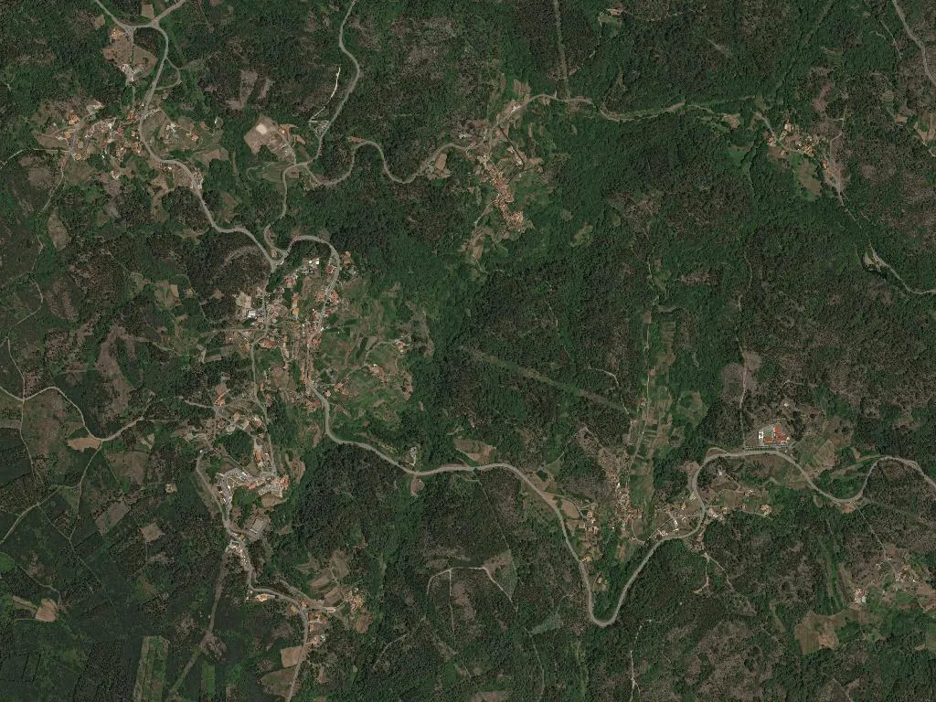
Granite blocks of the Louredo bridge still carry last winter’s Caima floods—pale moss dried into the grain. In August the river shrinks to swimmable pools between boulders. Inside the parish church of Santo António, built 1892, the ledger of baptisms begins 1836; the sacristy unlocks at 17:00 for anyone who asks to turn the parchment pages.

On 13 June, smoke from charcoal grills drifts across the square: sardines, €3 a plate, bring your own bread. The following Sunday the romaria to Nossa Senhora da Saúde leaves the church at 09:00 and climbs two kilometres of dirt track through pine and eucalyptus.

Cabrito da Gralheira IGP—kid reared on the local heather—appears only at O Moinho (256 842 245) and Adega da Serra (256 842 112); weekend tables are strictly reservation-only. Pontemieiro’s Blue-Flag river beach, 15 minutes north on the N224, adds a summer bar and shaded parking to the usual granite sand.

Lace up for the PR3 “Vale do Caima”: 11 km, 350 m ascent, three and a half hours of yellow-marked trail beginning beside Louredo bridge. Take water; the route is spring-free.

Quick facts

District
Aveiro
Municipality
Vale de Cambra
DICOFRE
011905
Archetype
CULTURA
Tier
standard

Livability & Services

Key data for living or remote work

2023
ConnectivityFiber + 5G
TransportTrain at 13.5 km
HealthcareHealth center
EducationPrimary school
Housing~1172 €/m² buy · 5 €/m² rent
Climate15.7°C annual avg · 1146 mm/yr

Sources: INE, ANACOM, SNS, DGEEC, IPMA

Village DNA

45
Romance
50
Family
35
Photogenic
45
Gastronomy
35
Nature
20
History

Discover more parishes

Explore all parishes of Vale de Cambra, in the district of Aveiro.

View Vale de Cambra

Frequently asked questions about Junqueira

Where is Junqueira?

Junqueira is a parish (freguesia) in the municipality of Vale de Cambra, Aveiro district, Portugal. Coordinates: 40.8049°N, -8.3287°W.

What is the population of Junqueira?

Junqueira has a population of 834 inhabitants, according to Census data.

What is the altitude of Junqueira?

Junqueira sits at an average altitude of 614.5 metres above sea level, in the Aveiro district.

39 km from Viseu

Discover more parishes near Viseu

Weekend getaways, nature and heritage within 50 km.

See all
View municipality Read article