Full article about Guadiana Dawn: São Miguel, São Pedro & São Sebastião
Three Alentejo hamlets share 275 km² of cork scent, copper-mine scars and river silence
Hide article Read full article
A Whisper of Dawn Over the Guadiana
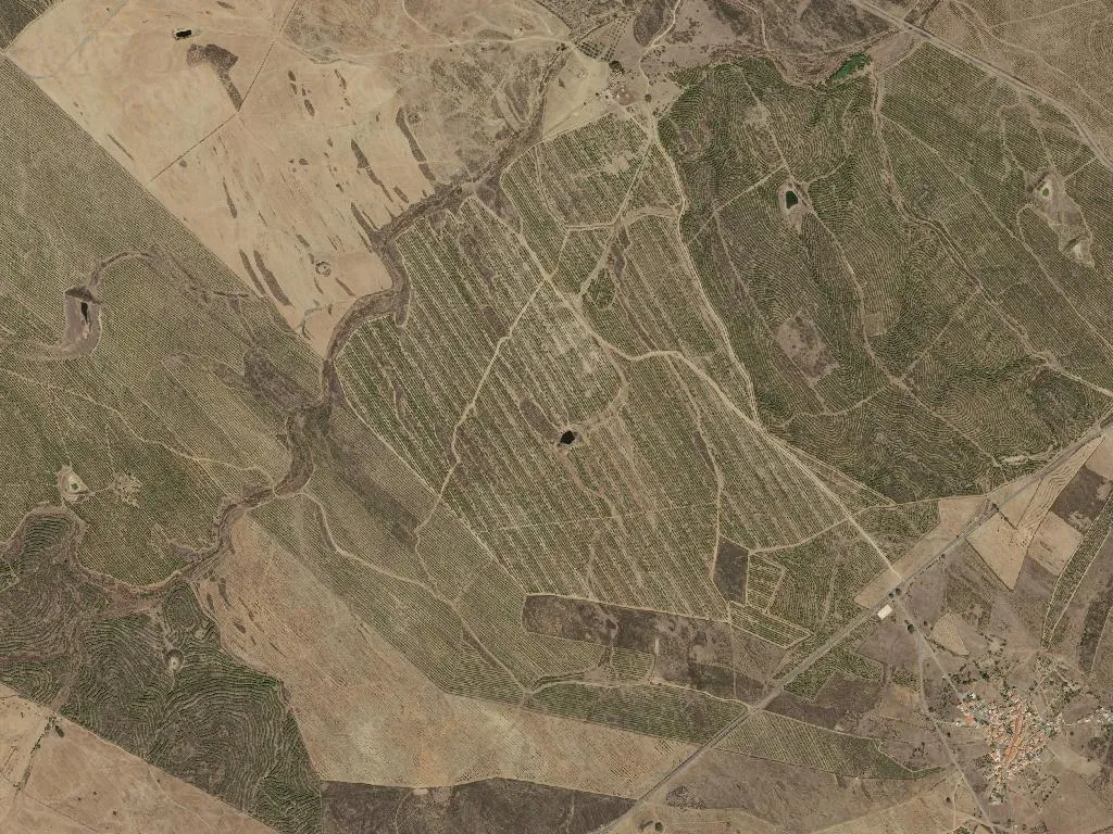
The sun has yet to warm the schist when the first raven circles overhead. Down on the valley floor the Guadiana slides south, unruffled, exhaling the scent of cork bark and sun-baked clay – the unmistable smell of Alentejo on a morning when it remembers what it used to be. This is Portugal’s largest civil parish: 275 km², 816 residents, three villages rolled into one bureaucratic marriage in 2013. Locals simply call it “the union” and treat the Guadiana Valley Natural Park as their back garden.
Three hamlets, no gates to close
São Miguel do Pinheiro still carries the memory of a pine forest that disappeared long before anyone here was born. São Sebastião dos Carros is named after the stone-walled livestock enclosures (“carros”) that pre-dated the jeep tracks now scratching the hillsides. Between them sits the ghost of São Domingos mine, an English-financed copper and pyrite venture that closed in the 1960s. Today its acid-red pit lake, pH 2.3, glows like oxidised copper under the noon sun – a Martian scar that the scrub is too polite to hide.
Where the river is still a road
Downstream from Mértola’s single-lane bridge the Guadiana keeps the last 100 km of navigable water in Portugal. Fishermen set nets for lamprey in January; canoeists drift downstream on spring tides; Joaquim’s flat-bottomed Andorinhas ferries day-trippers to the gorge at Pulo do Lobo, forty minutes of slow water and rising herons. From the riverside track the Wolf’s Leap looks almost polite – until you stand above it and hear the river slam through a two-metre throat of schist.
Olive oil, lamb, spoonable cheese
Meals are announced by the thud of a pestle in a garlic-heavy açorda. Lamb is stewed until the bone gives up its marrow; breadcrumbs are fried in the fat, then folded with wild asparagus picked after the first rain. Cordovil olive oil, pressed in the village lagar, is poured in a thin green ribbon over everything. The only permitted accompaniment is Serpa DOP, a thistle-rennet cheese so soft you serve it with a tablespoon, and a five-litre garrafão of red that costs less than a London cappuccino.
Nights without lumens, days without agenda
Streetlights in São Sebastião switch off at 22:30. What follows is an astronomy lesson: Milky Way, waxing moon, the occasional slow-moving “airplane” that turns out to be the ISS. By day the choice is between the Blue-Flag river beach at Tapada Grande – fresh water, no salt, no surf – and the 15 km circular trail that climbs through cistus and holm oak to the old mining village. Take non-slip shoes, a wide-brim hat, and a second bottle of water; the only café on the ridge opens when the owner feels like it.
When the last raven clocks off, the schist walls cool to the colour of fired terracotta. The air smells of rosemary, the wooden footbridge creaks, and you realise three people per square kilometre is still enough for a conversation that lasts until the stars fade.