Vista aerea de União das freguesias de Moura (Santo Agostinho e São João Baptista) e Santo Amador
DGT - Direcao-Geral do Territorio · CC BY 4.0
Beja · CULTURA

Moura’s Whitewashed Hush: Alentejo Time Stands Still

Feel the slow pulse of southern Alentejo in Moura and Santo Amador: sun-bleached walls, oak-grazed lamb, Serpa cheese aged in stone dairies.

8,039 hab.
151.9 m alt.

What to see and do in União das freguesias de Moura (Santo Agostinho e São João Baptista) e Santo Amador

Classified heritage

  • MNIgreja matriz de São João Baptista de Moura
  • IIPAtalaia Magra
  • IIPCastelo de Moura
  • IIPIgreja de São Pedro
  • IIPIgreja e claustro do Convento do Carmo

And 10 more monuments

Protected Designation products

Festivals in Moura

July
Romaria de São Bento 11 de julho romaria
August
Festas de Nossa Senhora da Boa Viagem 15 de agosto festa religiosa
November
Festival do Azeite e da Culinária de Moura Primeiro fim de semana de novembro feira
ARTICLE

Full article about Moura’s Whitewashed Hush: Alentejo Time Stands Still

Feel the slow pulse of southern Alentejo in Moura and Santo Amador: sun-bleached walls, oak-grazed lamb, Serpa cheese aged in stone dairies.

Hide article Read full article

White lime, fifteen centuries of stillness

By eight o’clock, even in high summer, the heat already has weight. Whitewashed walls bounce the light like polished steel; the eaves cut shadows so sharp they look ruled. Moura wakes reluctantly—one rattling shop-shutter, a distant tractor, then the hush that defines this southern rim of the Alentejo.

Fifteen bookmarks in stone

Fifteen classified monuments are scattered across 290 km². One enjoys National Monument status, nine are officially Protected. Population density: 28 souls per km²; historical density: the inverse. Trace the urban fabric and you read a palimpsest: an Arab citadel, elbows of medieval lanes, ramparts surviving only as sudden changes in level. Streets knot tight on the ridge, then snap into the ruler-straight grids of later expansions—architecture dictated by whoever last feared attack.

Flocks and thistle-rennet

The lambs that become Borrego do Baixo Alentejo IGP graze the open montado oakland beyond the city. In stone dairies inland, thistle heads are crushed to coagle milk for Serpa DOP cheese. Cutting it at the precise moment—when the centre sighs into thick cream—requires the patience of someone who has grown up with thermometer skin.

There are no slick tasting lounges, just raw material, climate and centuries of practice.

Eight thousand and thirty-nine

2021 census: 8,039 residents. 1,301 under fourteen; 1,952 over sixty-five. Plastic chairs outside front doors outnumber bikes against walls, yet the mood is not the shrug of the deep interior. Twenty-three legal lodgings—apartments, cottages, small guesthouses—cater for a trickle of visitors who prefer their stay undecorated.

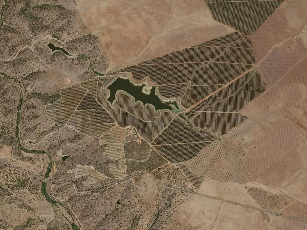
The plain as architecture

Beyond the last house, 290 km² of apparently flat land rolls away. Average elevation 152 m disguises gentle swells, winter watercourses, sudden shale outcrops. For a few weeks after New Year the country flares an almost violent green, already bracing to vanish. Santo Amador, the rural half of the civil parish, dissolves into this immensity; silence is the default acoustic, broken only by a herd dog or the low gear of a John Deere.

Where the paint dries before the brush is laid down

Moura does not perform. No mountain drama, no Atlantic dazzle. It simply continues—daily gestures framed by fifteen listed monuments and two millennia of habitation. On the road out, a half-whitewashed wall: the second coat abandoned, brush balanced on the bucket. The lime has already set under the sun—faster than any human intention.

Quick facts

District
Beja
Municipality
Moura
DICOFRE
021009
Archetype
CULTURA
Tier
vip

Livability & Services

Key data for living or remote work

2023
ConnectivityFiber + 5G
TransportTrain at 45.6 km
HealthcareHealth center
EducationSecondary & primary school
Housing~514 €/m² buy · 4.06 €/m² rentAffordable
Climate18.1°C annual avg · 495 mm/yr

Sources: INE, ANACOM, SNS, DGEEC, IPMA

Village DNA

50
Romance
60
Family
50
Photogenic
40
Gastronomy
30
Nature
55
History

Discover more parishes

Explore all parishes of Moura, in the district of Beja.

View Moura

Frequently asked questions about União das freguesias de Moura (Santo Agostinho e São João Baptista) e Santo Amador

Where is União das freguesias de Moura (Santo Agostinho e São João Baptista) e Santo Amador?

União das freguesias de Moura (Santo Agostinho e São João Baptista) e Santo Amador is a parish (freguesia) in the municipality of Moura, Beja district, Portugal. Coordinates: 38.1438°N, -7.3622°W.

What is the population of União das freguesias de Moura (Santo Agostinho e São João Baptista) e Santo Amador?

União das freguesias de Moura (Santo Agostinho e São João Baptista) e Santo Amador has a population of 8,039 inhabitants, according to Census data.

What to see in União das freguesias de Moura (Santo Agostinho e São João Baptista) e Santo Amador?

In União das freguesias de Moura (Santo Agostinho e São João Baptista) e Santo Amador you can visit Igreja matriz de São João Baptista de Moura, Atalaia Magra, Castelo de Moura and 12 more classified monuments. The region is also known for its products with protected designation of origin.

What is the altitude of União das freguesias de Moura (Santo Agostinho e São João Baptista) e Santo Amador?

União das freguesias de Moura (Santo Agostinho e São João Baptista) e Santo Amador sits at an average altitude of 151.9 metres above sea level, in the Beja district.

View municipality Read article