Full article about Safara: where the bell tolls twice and silence stays
Safara village in Moura, Alentejo: 16th-century church, granite well, peppery lamb lunch and cork-oak views over Guadiana valley.
Hide article Read full article
The bell strikes once, twice – then nothing
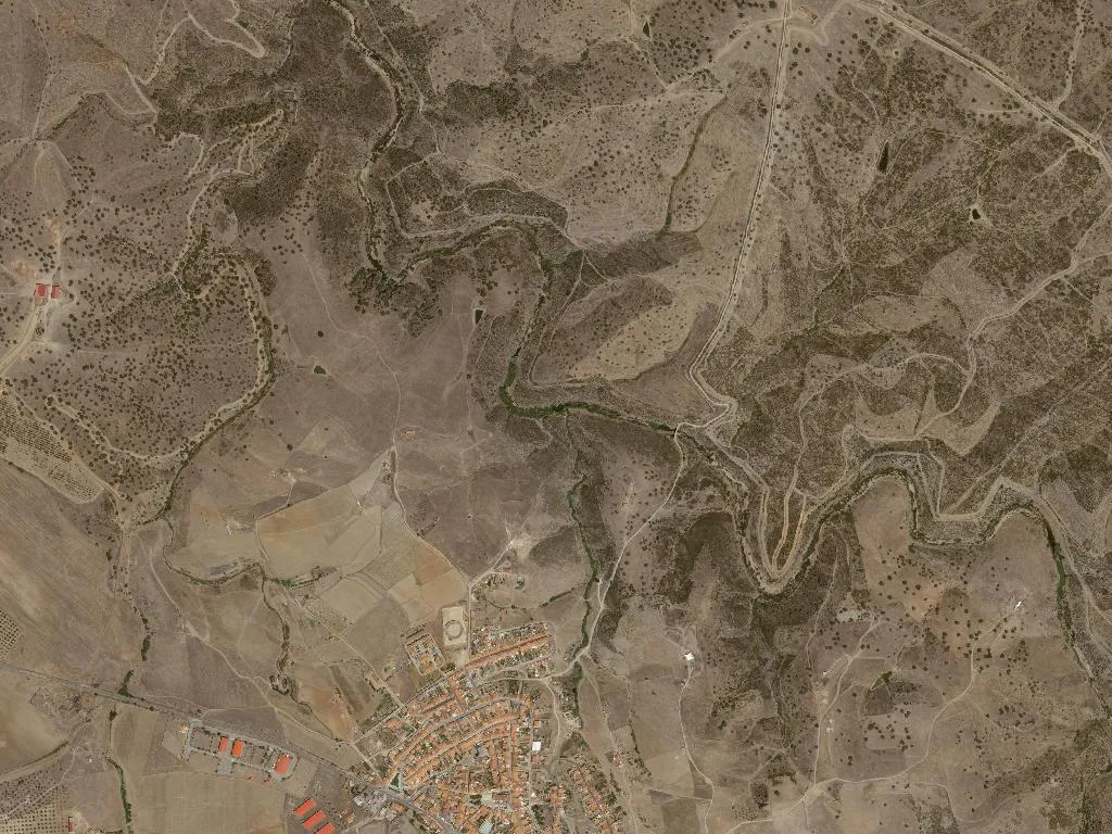
At noon the only sound in Safara is the double beat of São João Baptista’s bell. After that, stillness reclaims the single main street. The rivulet that splits the parish is a dry, pebble braid for half the year; lemon-scented verbena colonises the cracks until the first autumn rain.
The village’s Arabic name means “journey”, yet modern travellers are mostly refuse lorries and the pick-ups that service the surrounding olive super-intensivos. Of 783 inhabitants, 482 bothered to vote last time; the parish council still argues whether the nursery roof or the street-light outside the Fonte spring should be fixed first.
What to see
Igreja de São João Baptista
Plain 16th-century stone, zero gilding, zero tilework. Doors open at 09:00, close when Sunday mass ends at 11:30. Stand in the whitewashed churchyard and the cork oak plain rolls away like a calm green Atlantic.
Village well
An un-dated granite throat, last drawn in 1974. Now it doubles as an irrigation tank for the geraniums that circle it in terracotta pots.
Montado
Holm and cork oak undulate north–west. Take the CM1123 towards Santo Aleixo; after 5 km the road tops out at 225 m, giving a 270-degree sweep across the Guadiana valley and, on clear days, the shimmering mirror of Alqueva reservoir.
Where to eat
Café Correia
4 Rua de Cima. One-dish lunches only: Mon & Thu it’s ensopado de borragino, a peppery lamb braise, €8 with wood-oven bread and a clay-jar refill of local red. Closed Tuesdays.
Mercearia Central
Rua 5 de Outubro. Ask to taste the DOP Serpa cheese, matured 90 days until it spreads like cultured butter, €14/kg. Hours 07:00-13:00, 15:00-19:00; shuts Sunday afternoon.
Lake fish
Safara has no restaurant, but Alqueva’s bass and reputedly Europe’s largest carp are 15 km away. May-Sept, enquiries at the GAL petrol station usually produce a kilo of just-caught largemouth for €8.
Trails & tracks
There are no waymarked paths. The unpaved farm road looping to Santo Aleixo da Restauração is firm enough for gravel bikes: 20 km, zero shade, zero fountains. Download Wikiloc track ID 45678910 and carry 1.5 l water.
Fishing
Stone pools under the Roman-era bridge (km 2 CM1123) hold carp and boga. Annual licence €5 from Moura citizen’s shop; catch-and-release only, silk line mandated.
When to come
March–April: cork oaks blush terra-cotta at their trunks and gravel-pit orchids appear.
October: mechanical harvesters shake the olives; the Moura cooperative press (free tour, Tue 15:00) smells of new oil and wet granite.
Avoid July–August: 40 °C in the shade and not a single bar has air-conditioning.
No one stays the night. Moura, 12 minutes west, has two serviceable hotels and a tourism office. The village lights go off at 22:00; by 22:05 you’ll hear the bell again – once, twice – and then nothing until tomorrow.