Full article about Panoias & Conceição: cork, cheese, chapel silence
Walk oak-dusted tracks between Serpa-milk farms and locked baroque doors
Hide article Read full article
Stone, Faith and Pastureland
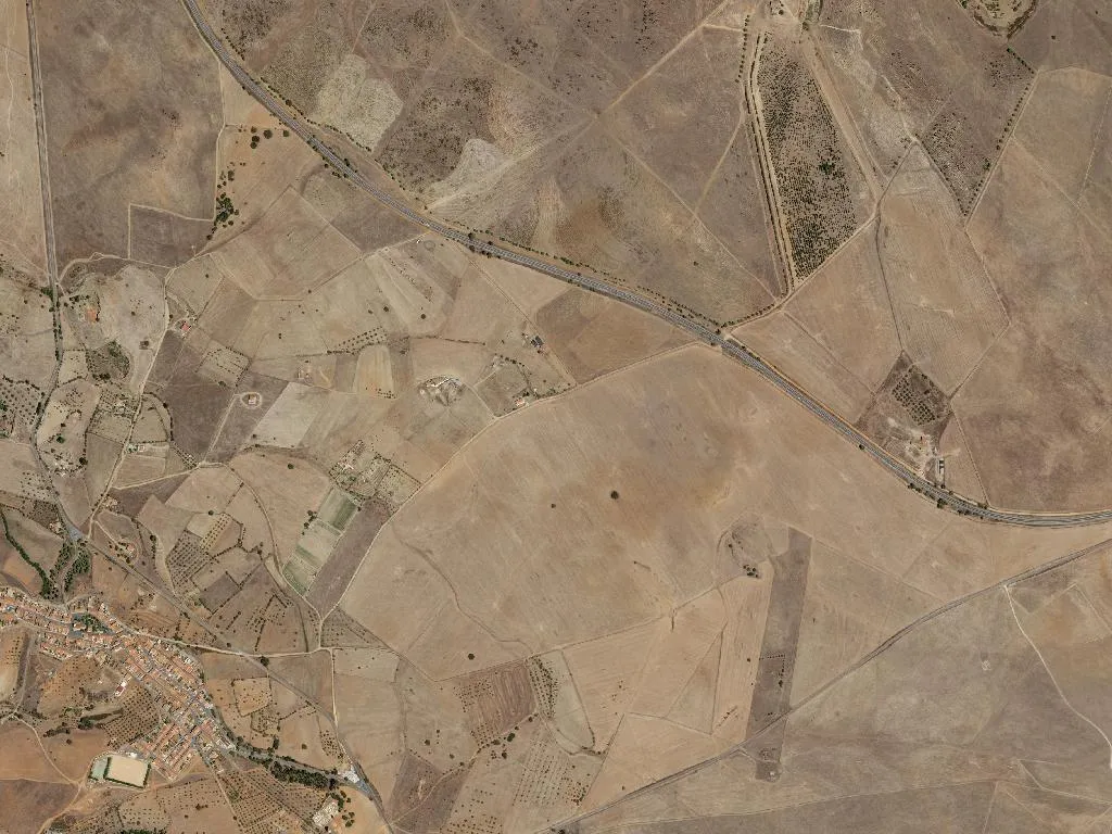
The bell of Igreja Matriz de São Pedro strikes seven. No traffic muffles it—only cork oaks and holm oaks clear to the horizon. Between Panoias and Conceição the land changes palette with the calendar: acid-green after the March rains, parched gold by August, the raw-tile brown of freshly stripped cork in June.
Panoias takes its name from the Latin pannos—grazing plain. The 16th-century parish church, rebuilt in sober Alentejo baroque, keeps its Manueline doorway and flaking 18th-century azulejos. It is locked on Mondays. Three kilometres north, Nossa Senhora da Cola chapel sits at the end of a dirt track; Mass is held only one Sunday a month. Arrive ten minutes early or the oak door will already be shut.
The cheese that waits
Inside Herdade da Torre Vã the stone storeroom holds a steady 14 °C year-round. Here the DOP queijo de Serpa matures for forty days. A tasting costs €3; ask D. Lurdes for a meia-cura slice—creamier than the fully aged wheel. Eat it at room temperature, never straight from the fridge. The farm gate is open Monday–Friday, 9–17 h; pull the stock-yard door closed behind you.
Unmarked earth tracks
Covering 143 km² and home to 488 people, this is the largest and emptiest civil parish in Ourique council. There are no way-marked trails, but the rural paths are public rights of way. From café O Pátio in Panoias to the chapel at Cola is a 45-minute walk—carry water, there are no fountains. Phone signal drops in the valleys; download an offline map first. The hill behind Torre Vã looks over the Sado valley; twenty minutes up for sunset, descend before dark—there are no lamps.
The wind that remembers
Only one windmill survives at Herdade do Moinho, its sails long gone. When a southerly blows you smell thyme and sun-baked schist— the same scent grandparents used to decide whether rain was on the way.