Full article about Rio Covo: Rails, Rivers & Monks in Barcelos
Where Cistercian ditches still irrigate vines beside an 1877 Eiffel lattice bridge
Hide article Read full article
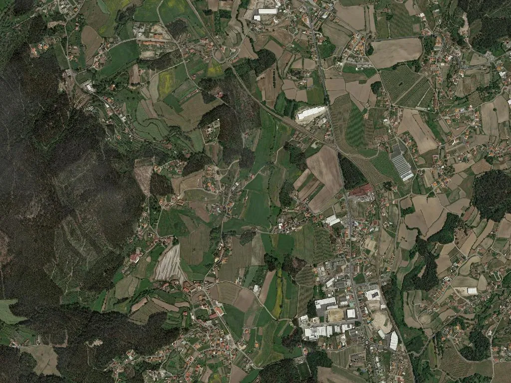
The railway scores the valley like a steel ruler across a patchwork of allotment greens. When the Lisbon–Valença inter-regional slips past, its echo rolls through the open vale, then subsides, letting the slower music of the Rio Covo take over. This modest waterway – hardly more than a stream – drifts from south to north until it surrenders to the Cávado, carrying with it the name of the parish it nourishes. Between low banks the current loafs, irrigating smallholdings where corn stands shoulder-high and scarlet-runner beans wind up their bamboo tripods. Half a mile away, the 19th-century Ponte de Rio Covo lifts into view: 130 m of riveted lattice shipped down from the Eiffel workshops in 1877 when the Minho line pushed north and the world, briefly, arrived by steam.
From monastic estate to parish
Medieval charters call the settlement “Sancta Eulalia de Couto da Várzea”, a toponym that advertises its origin as a monastic “couto” – an immunity zone – belonging to the vanished Cistercian house of Várzea. When the monastery folded, the advowson of its chapel passed through courtier hands until, in 1535, Dom Manuel de Noronha ceded it to the Loios friars of Porto, a transfer rubber-stamped by a papal bull of Paul III. The paperwork survives in the district archive; the physical landscape never bothered to update itself. Flat fields still lap the northern slope of the Monte de Maio, scored by the same drainage ditches and sunken lanes the monks would recognise.
Between two rivers
The Covo bisects the parish, but it is the Cávado that draws the western border, a broader artery whose summer pools reflect orchards of kiwi and citrine. Elevation: a modest 50 m above sea-level; area: 441 ha of alluvium patched into rectangles of vinho verde vines, maize and market-garden plots. No nature reserves, no grand viewpoints – just a living map of small-scale husbandry. The N4 (Barcelos–Vila Nova de Famalicão) funnels commuters along the valley floor; beside it, the single-track railway keeps its own slower beat, the level-crossing bell replacing church bells for secular punctuation.
Way-marked boots and festa candles
Wayfarers on the Central Portuguese route of the Camino de Santiago cut across the parish on a stone-paved driftway, their rucksacks powdered with the same grey dust that coats the maize leaves. They pause at the communal fountain, refill plastic bottles, ask locals for the distance to Barcelos in stumbling Portuguese. In early May the Festa das Cruzes mobilises the entire community: processions shoulder a Baroque crucifix through lanes arched with beech boughs, brass bands compete with PA systems, and the parish church smells of beeswax and white stockings. For two days the population of 1,049 swells with returning emigrants and neighbouring curiosity-seekers before the valley reverts to its quieter cadence.
Generations in parallel
Demography tells the familiar northern story: 136 children under 14, 204 residents over 65. Density is high (255 people/km²) yet houses are scattered, each one set within its own strip of cultivable land. Late afternoon, wood smoke uncoils from chimneys, mingling with river mist; headlights of the 18:42 train smear across the metallic trusses of the Eiffel bridge. The structure, inspected nightly by a maintenance trolley, still carries the weight of 21st-century rolling stock. When low sun strikes the rusted lattice, the iron glows the colour of burnt sugar – a fleeting alliance between French engineering and Minho alluvium that lingers in the retina long after the train has disappeared northwards.