Full article about Ruivães & Campos: pillory, honey, high-Minho feasts
Walk granite lanes where bramble-scented air cools castro-crowned Ruivães e Campos
Hide article Read full article
The stone that remembers a vanished town
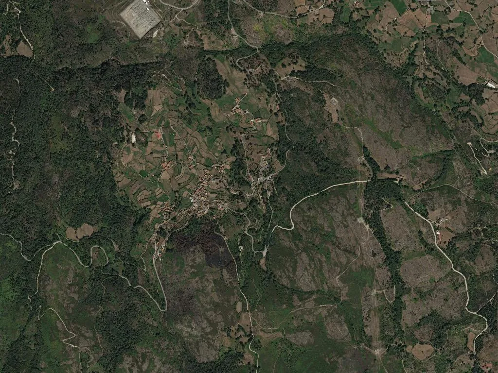
Ruivães’ 3.8-metre pillory still wears the armillary sphere and crowned shield of Dom Manuel I, carved in 1519 when this square was the judicial heart of a chartered town. Dr Frederico Azevedo Street, the only lane with a proper granite pavement, funnels a draught of mountain air down from the Serra da Cabreira—five degrees cooler than Braga, 40 km south. First recorded as “Ruvanes” in a 1270 charter, the name, says geologist Joaquim Pinto de Carvalho, sprouts from the Latin rubus, the bramble that still claws at dry-stone walls. A municipality until 1853, the parish now shelters 773 people across 44 km² of heather and gorse.
Granite that still carries weight
The pillory marks the vanished termo—the boundary within which Ruivães kept its own chamber, gaol and gallows. In 1809, French troops descending from Montalegre stripped the 1726 parish church of São Martinho of its silver. Two kilometres away, the baroque retable in Perrelos’ chapel of Santa Isabel (1743) survived. Follow the lane east to the castro of São João de Perrelos, excavated in 1979: 48 Roman coins and shards of bright terra sigillata confirm the Bracara–Asturica road that once threaded these uplands.
When the calendar fills with processions
15 August: twelve men in white shirts shoulder the gilt throne of Nossa Senhora da Conceição down from her hillside hermitage to the mother church, met by a brass band and the crack of single-shot fireworks. Eight days later, Campos stages the feast of Nossa Senhora da Fé; António de Castro’s bakery will shift 300 sponge cakes before lunch. The Ruivães co-op stall sells 80 kg of Serra da Cabreira DOP honey at €12 a kilo, while the village band—founded 1887—marches through the same four 1954 brass marches it has played since records began.
Taste of the high Minho
O Cacito, on the EM529, fires rojão à minhota over vine prunings—€12 feeds two. The pork is Barrosã DOP, driven down from José Maria Costa’s farm above Tourém on the Spanish ridge. Pick up a €4 bottle of Quinta da Loureira loureiro at Gomes grocery; Friday’s papas de sarrabulho (€6) at Café Central sell out by 2 pm.
Between chestnut groves and streams
The PR3 loop (9.6 km, three hours) starts beneath the pillory, slips through the 300-year-old chestnut grove at Quinta da Coutada and twice fords the Ribeira da Lapa. A 400-m detour at kilometre-six of the EM529 reaches a 5-metre waterfall on the Cavalinho, a Cávado tributary. Griffon vultures ride thermals above the Cabreira massif; watch from the Cortinhas viewpoint as the sun drops behind Spain.
Where the granite keeps the day’s heat
Casa da Fonte in Campos sleeps four for €90—ring Rosa Martins (00351 962 345 678). Casa do Lagar has a greenhouse of mulberries ready to pick in June. Nearest pharmacy is 7 km away in Anissó, open weekdays 9 am–12.30 pm. Be back in the square at dusk: lay a palm on the pillory’s warm stone and the air tastes of pine resin drifting up from the Cávado gorge.