Full article about Vade’s ford, feasts & windmill ridge above the Cávado
Vade parish, Vila Verde, Braga: explore the Latin-named ford, June sardine fests, Cachena beef trails and windmill ridge walks.
Hide article Read full article
A ford that named a parish
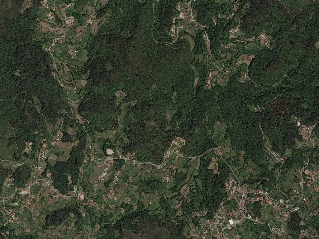
At 273 metres above sea level the River Cávado unbuttons the hills north-east of Braga, sliding over a gravel bar where ox-carts once forded before a single arch of stone spanned the water. That shallow crossing – vadum in Latin – has defined the parish since medieval scribes first inked “Vade” onto a 13th-century charter. Today the river still governs life: it irrigates rectangular plots that shift from jade-green maize in July to rust-red earth in January, and it keeps population density at barely 93 souls per km² across 1,563 hectares.
Between the 180 teenagers who leave for school in Vila Verde and the 415 retirees who remain, memory is measured in festival days and ladlefuls of caldo verde.
Calendar of bells and bonfires
June belongs to St Anthony. On the eve of the 13th, processions leave the 16th-century Igreja de São Pedro escorted by brass bands and the smell of grilled sardines drifting through linen bunting. A fortnight later the Romaria de Nossa Senhora do Bom Despacho climbs the 2 km lane to the hilltop chapel; afterwards the parish council lays out trestle tables where bottles of Loureiro-vinified Vinho Verde sweat in the sun.
What the river puts on the table
Look for the IGP stamp on the chestnut-coloured Trás-os-Montes potatoes that arrive boiled, skins splitting, beside pork crackling. Cachena beef – from the small, long-horned cattle that graze the neighbouring Peneda hills – is slow-simmered into a clove-scented stew dark enough to match the local DOP honey, which gets drizzled over serra cheese instead of dessert. All of it demands a glass of subtly spritzy white from the Lima sub-region, poured cold enough to mist the glass.
Tracks up to the windmills
Sign-posted loops leave the parish church square and cross the Cávado on a 19th-century iron footbridge before rising through oak scrub to the Portela ridge. The 85-metre climb is enough to open a panorama of vineyards, water meadows and the distant granite bulk of the Serra do Gerês. Four stone cottages – two 18th-century labourers’ houses, a hay-loft and a village school – have been converted into low-key guesthouses; hydrangeas and night-scented jasmine push against the whitewash, and the only traffic is the evening chorus of swallows heading back to the river reeds.