Full article about Sendim & Atenor: Wind-Carved Plateau Above Douro Gorge
Mirandesa cattle graze a 689 m granite rim where Portugal meets Spain in smoke-scented silence.
Hide article Read full article
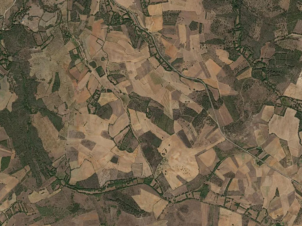
The wind has the run of the meadows around Sendim. No hedgerow checks it, no plantation muffles it—only naked schist, knee-high oaks and the plateau’s unbroken roll at 689 m above sea level. Where the land fractures, the granite trench of the Douro International appears, a 200-metre-deep canyon that has separated Portugal from Spain since the Treaty of Alcañices in 1297. Up here on the dry border, the horizon is an exercise in scale: 1,240 souls scattered across sixty square kilometres, time kept by the slow drift of chest-coloured Mirandesa cattle.
Borderland, Pastureland
Sendim and Atenor were welded into a single parish in 2013, yet their names reach much further back—Sendim probably from the personal name Sendinus, Atenor from the Latin Ad Tene, hinting at a Roman farmstead long erased. The tract of land swapped León and Portugal until Afonso Henriques nailed it to the crown in the twelfth century. What really shaped life, though, is the granite-bedrock plateau: winter knives of wind, parching August heat, and an economy calibrated to the Mirandesa breed, whose mahogany-coloured beef gained DOP status in 1997 and now commands €24 a kilo in Bragança’s market halls.
Fire, Smoke and High-Altitude Juice
Grilling starts at dawn in Sendim’s only restaurant, the smoke from holm-oak logs drifting across the square. The steak arrives two fingers thick, ivory fat hissing at the edges, sided by wood-oven potatoes that emerge blistered and ash-dusted. Red wine comes from vines parked at 700 m around Miranda; August nights drop to 14 °C, so acidity stays bright. Lamb—either the sturdy Cordeiro Mirandês or the milk-fed canhono—is stewed with Gerês paprika and Trás-os-Montes garlic, while Vinhais ham, cold-smoked for eighteen months over oak, is sliced paper-thin on a 1972 Berkel flywheel in Café Central. Cornbread, dense enough to blunt a pocket knife, is driven in each morning from a baker in Vinhais, twenty kilometres west.
Inside the Buffer Zone
Three-quarters of the parish lies within the buffer belt of the Douro International Natural Park, created in 1998 to soften the ecological edge of Europe’s wildest eastern canyon. From the 2004-built lookout above Sendim the river glints 400 m below; last year rangers logged twelve breeding pairs of griffon vultures on the granite cliffs. An 8-km way-marked trail now links the two villages, laid out in 2019 by the ADIBER rural-development scheme. It threads through slate terraces, pre-war chestnut groves and pastures where the only soundtrack is a distant cow-bell. A short spur drops to Pego Negro, a waterfall where women scrubbed household linen until the 1960s.
Saints, Bands and Ex-Miners
Whit Sunday brings the Feast of the Holy Trinity, a procession first licensed in 1743 by parish priest João de Sousa. The brass band still marches in from Mogadouro, striking up Santo António and Nossa Senhora da Luz under lime-washed stone arches. On 4 December Santa Bárbara is celebrated by the handful of men who once mined tungsten at Rio de Frades; when the seam closed in 1982 the workforce fell from 200 to zero. After Mass the church porch dispenses flour broth and charcoal-grilled sardines, served on coarse rye with a glass of aguardente for anyone still carrying a pick-shaped scar.
How to Do Nothing
Walking here is an exercise in negative space: no motorway, no streetlights, no ambient hum—just the scrape of schist under boot, the metallic call of a cirl bunting, the sky occupying more of the eye than the land. At dusk the 450 Mirandesa cows of the 2023 agricultural census file home, hooves clocking on granite setts; the only counter-melody is the squeal of a wooden gate and, 800 m away, the church bell counting out the Ave Maria. Café shutters close at eight, the bakery at three, and the lone fuel pump in Atenor keeps its fluorescent rectangle alive until ten—by which time, in mid-winter, the parish has already been dark for half an hour.