Full article about Peredo da Bemposta: Where a Hidden 60 m Waterfall Roars
Granite pillory, eagle-owl canyon and a single café: the untouched tale of a Trás-os-Montes village.
Hide article Read full article
The Waterfall You Hear Before You See
The first sound is water, long before the village appears. A low, continuous roar rises from the chasm, muted by schist cliffs and distance. Peredo da Bemposta sits 602 m above sea level on Portugal’s north-eastern rim, but its drama drops 60 m straight down: the Faia da Água Alta, the tallest waterfall on the mainland, concealed inside a gorge of holm oak and granite. Only 185 people live up here, and none of them bother to advertise the fact.
A Pillory That Turned Its Back on Lisbon
Beside the primary-school yard a grey-granite pillory lifts its four-armed capital and conical pine-cone finial. The royal coat of arms is carved upside-down. Local lore claims a 16th-century judge reversed it in deliberate defiance of the Crown; whether myth or protest, the gesture stuck. The column has stood since King Manuel I granted the village its charter in 1514, watching markets, public punishments and generations that never returned. Opposite, the Manueline chapel of Santo Cristo keeps perfect time – its whitewashed façade, round-arched doorway and single bell still divide the day into the slower rhythm of the plateau.
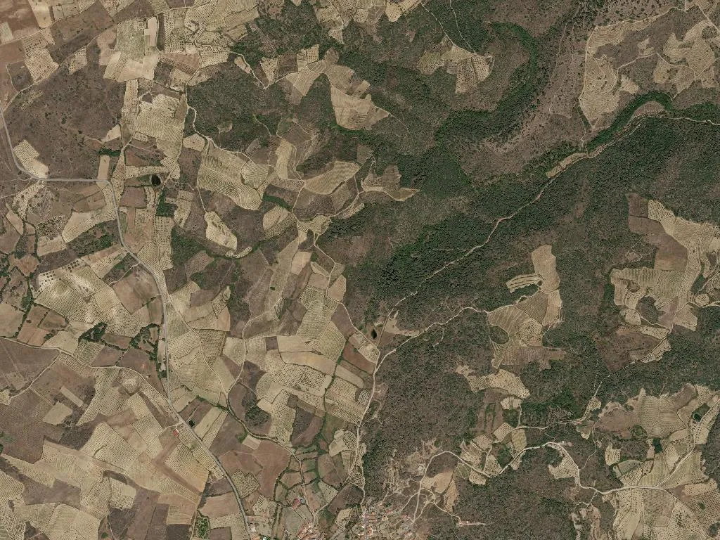
Into the Canyon
The Faia footpath starts at the school gate, drops past the shrine of St António and dives into the Bemposta ravine. Seven kilometres of wooden footbridges, ruined wolf-traps and gorse thickets scented like coconut echo only with the dusk call of eagle owls. Then the air chills: a 60 m blade of water slices through black schist hung with moss. Even in August the vapour rises like cellar breath. Climb carefully to the natural balcony above and the International Douro canyon unfurls, griffon vultures banking on thermals. The loop back follows the old contraband cobbleway used during Salazar’s dictatorship, when mule trains moved olive oil and wine across the gorge under cover of dark.
Lunch at the Only Table in Town
Café Central opened in 1987 and still answers to the Martins family. Their clay-pot Terrincho DOP lamb stew spends three hours absorbing potatoes, onion and mountain herbs; kid goat roasts in a wood-fired oven until the skin crackles like thin toffee. A side of wild-asparagus migas, folded with smoked bacon and local olive oil, arrives sizzling. The red is Bastardo from 1942 schist terraces; it warms the ribs before cinnamon-and-honey rosquilhas glue themselves contentedly to your fingers.
When the Plateau Goes Quiet
Dusk drains the colour from century-old olive groves planted after the 1955 Miranda dam resettlement. Doors close without slam, chimney smoke sharpens the air, and night cold settles over the granite. Somewhere below, the waterfall keeps falling – invisible but insistent, a bass note that has played for millennia. Long after you’ve left, that sound, not the view, is what follows you home.