Full article about Candoso & Carvalho de Egas: schist silence at 745 m
Candoso e Carvalho de Egas, Vila Flor: 2.2 souls/km², oak-smoke romarias, Douro olives and glowing schist above the plateau
Hide article Read full article
The Weight of Silence
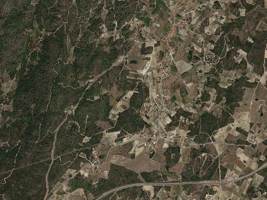
Here, silence carries weight. It is not the absence of sound but the presence of space: wind combing through terraced olive groves, a warped gate complaining on its hinges, a single bell striking twelve somewhere across the plateau. August light drops vertically onto schist roofs until the granite doorstones glow too hot to touch. Candoso and Carvalho de Egas—merged into one civil parish in 2013 yet inseparable for centuries—sit 745 m above the Atlantic, midway between the Douro canyons and the Spanish sierras. Vine, olive and rockrose share 1,003 hectares between sky and bedrock.
Two hamlets, one long memory
Candoso appears in an 11th-century royal charter; the name, probably from the Latin Candidus—white, bright—feels almost ironic against the charcoal schist walls. Carvalho de Egas remembers both the vanished oaks (carvalhos) and the medieval influence of the Egas family, knights who once held these borderlands. Today 222 people are on the roll: only ten under fourteen, eighty-two over sixty-five. Population density: 2.2 souls per square kilometre—less than the Scottish Highlands.
Festivals that still draw a crowd
Three parish romarias mark the year. On the last weekend of August São Bartolomeu brings a makeshift tavern to the village square: oak-fire grills loaded with chouriça de Vinhais, terrincho ewe’s-milk cheese sliced by pocket-knife, presunto bísaro shaved translucently thin, new-season olive oil sinking into rye crusts. No printed menu—only what the smoke-house saved and the garden yielded. Seven days later the faithful walk a kilometre of dust to the whitewashed chapel of Nossa Senhora do Castanheiro; guitars appear at dusk, and the dancing lasts until the generators cough.
A certified larder
Though the parish measures barely a mile across, its olives and almonds fall within the Douro demarcated region; a handful of south-facing plots even supply grapes for DOC red. The real wealth is in the pantry: terrincho lamb, transmontano kid, Terra Quente multiflower honey, Douro almonds, negrinha de Freixo olives—all protected by DOP or IGP seals. Dishes demand time—wood-oven kid, feijoada transmontana simmered with every part of the pig, chanfana goat stewed in red wine and black pottery until the meat climbs off the bone.
Walking what remains
There are no way-marked trails, no board-walked viewpoints. What exists is better: municipal mule tracks tunnelled by oleander, granite wayside crosses where no cars pass, threshing floors open to the constellations. Start at Candoso’s fountain just before six, when the schist turns copper and wood smoke lifts from chimneys. Follow the stone water channel west until the valley of Vilariça opens below—then turn back before night locks the gates. No ticket office, no QR code: just the echo of your own soles and, if you are lucky, a square of cured cheese pressed into your hand by someone who refuses payment.