Full article about Vale das Fontes: Where Water Writes the Map
Follow centuries-old irrigation channels through a hidden Bragança valley that never runs dry.
Hide article Read full article
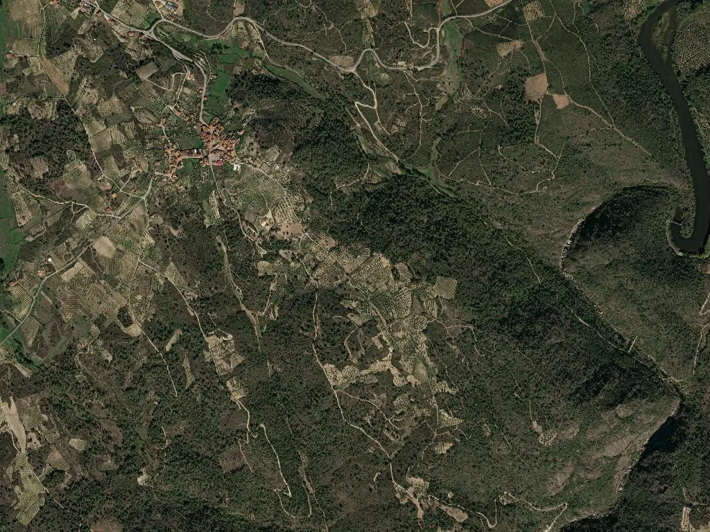
The hiss of water on granite follows every footfall along the packed-earth track. In Vale das Fontes, geography is measured in springs—black-schist spouts, hand-chiselled channels two centuries old, a constant hush that threads together the hamlets of Vale, Rossa, Laranjeira and Cimo de Vila. At 499 m on the western lip of the Serra de Montesinho, the valley stays improbably green because the water never falters. Those same springs gave the parish its name when it split from neighbouring São Salvador de Viveiro in 1855, and they still ration the day for 262 residents—139 of them over 65—who take turns at the communal irrigation sluices exactly as their forebears did before ledgers existed.
The valley and its veins
The landscape rolls gently, but the illusion of simplicity ends there. Beneath the rock-rose and heather, between cork oaks and scatterings of maritime pine, an unseen lattice of springs feeds rivulets that slide towards the Vinhais river. Montesinho Natural Park engulfs the parish, ushering in wild boar, roe deer, red fox and the Iberian lynx—rarely sighted, its presence deduced only from prints pressed into the mud. The dirt lanes used for herding goats or hauling chestnut sacks are unsigned; you navigate by instinct and by stopping to ask the woman stripping cobs on her threshold. In Laranjeira, now reduced to three occupied houses, the name recalls an 18th-century walled orchard whose oranges were coaxed from the frost-pocketed micro-climate—an agricultural sleight-of-hand still talked about in the cafés of Bragança.
Smoke, chestnut and wood-oven heat
The kitchen calendar is ruled by the smokehouse. Chouriça de carne, linguiça and presunto bísaro—all carry Vinhais IGP status—spend days inhaling oak smoke in miniature brick sheds no larger than a London parking space. Bragançan lamb and Mirandesa beef roast in domed wood-fired ovens while potatoes from the plateau are bashed with belly-of-pork crackling and parsley. Come October, DOP-certified chestnuts from the Terra Fria are slit and buried in the embers, or folded into cinnamon-scented “party cakes” sold at the Saturday pop-up stall outside the parish church. Ask for caldo de nabos—turnip broth thickened with diced chestnut—and you’ll be handed a spoon and a glass of Bastardo red before the sentence is finished.
August homecomings
On 15 August the Feast of Our Lady of the Assumption reassembles the diaspora. There’s no medieval fair, no tour-group pageantry: just a field Mass under a canvas awning, a procession of eight men shouldering the painted cedar statue, and long tables laid with enamel trays of sausage and goat stew. The medieval pilgrim route to Santiago—the Caminho Nascente—cuts through the village, but most walkers stride on, guidebooks fixed on Bragança castle. They miss the moment at dusk when the sluice-keeper padlocks each spring in turn, the water diverted underground until tomorrow’s rota begins. The valley exhales, the granite glistens, and the only sound is the river continuing its conversation with the stone long after the visitors have gone.