Full article about Slate echoes above a schist village frozen in 1975
Sobral de São Miguel rings with quarry hammers, goat stew and icy river pools
Hide article Read full article
The clatter of slate splits the air long before Sobral de São Miguel comes into view. Two-thirds of its 294 residents are past retirement age, yet the quarries still send thin plates of blue-grey stone to roofing merchants in Lyon and Bilbao.
Getting there
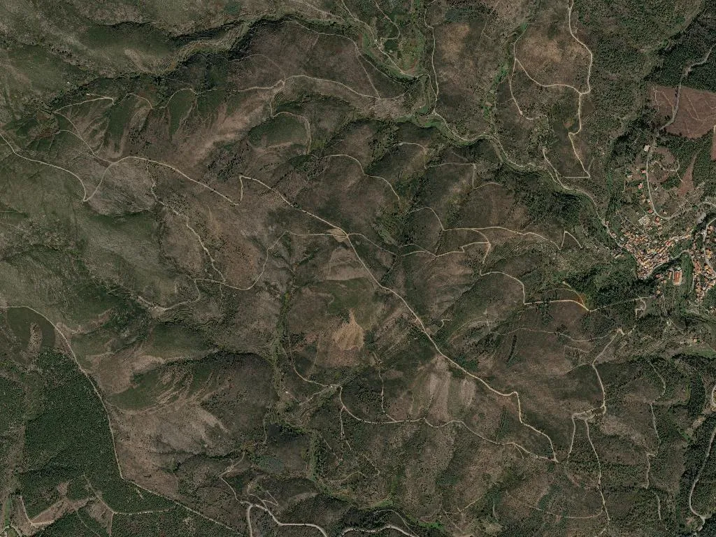
GPS: 40°12'N 7°46'W
Covilhã lies 18 km to the south-east. Follow the EN18 towards Casegas, then turn where the sign has been bleached silver by the wind. The final 3 km coil through sweet-chestnut woods; second gear only. Bus 34 leaves Covilhã twice daily except Sunday.
Where to eat
One café. Opens at 7, stops breakfast at 10. Lunch is chanfana – goat braised in red wine and black pepper – but you must order when you arrive; no card machine, bring notes.
Where to stay
Four shale cottages restored with pine floors and woollen blankets, €60–80. Book through the parish council or Aldeias do Xisto site. Wi-Fi drifts in on the mountain breeze.
Walking
PR3 SOB: 7.5 km way-marked loop, 2 h 30 min, medium grade. Begins at the 14th-century bridge; yellow-and-red blazes lead through heather and pyrenean oak to the Cascata do Vale das Vacas, a 25 m plume reached by a dirt track. Carry water – the springs dried up in the 1975 drought and never returned.
River pool
Natural basin dammed by slate boulders; open June–September, 9–19 h, free. Even in August the water holds at 18 °C. The kiosk sells beer only at weekends.
In brief
First mentioned 1284 in a charter of Dom Dinis; parish created 1888; joined the Schist Villages network 2010; altitude 800 m; high point Gondufo, 1 243 m.