Full article about Vales do Rio: granite, goat stew & a chattering Zêzere
Walk glacial boulders, sip fountain water, lunch on chanfana in Covilhã’s mountain-hugging hamlet
Hide article Read full article
The Zêzere is no mere murmur: its cold water chatters against granite blocks loud enough to be heard from the EN 233. This is not a calendar river—until twenty years ago it was still the place where kitchen gardens were irrigated and laundry thrashed clean.
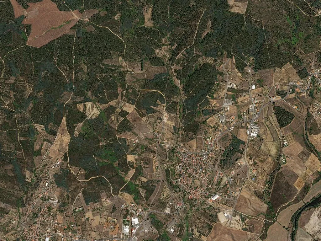
What the map says
Vales do Rio counts 628 souls, 202 of them over 65. At 07:30 the 63 youngest residents board the single primary-school minibus that shuttles them to Covilhã for secondary lessons. The parish occupies 5.11 km²—small enough to cross on foot in 45 minutes—yet the altitude (455 m) is sufficient for the same granite backbone that surfaces 25 km east on the Torre, mainland Portugal’s highest peak.
What remains
Parish church: unlocked 08:00–18:00; if the door is latched, the key hangs in the sacristy. Chapel of Santa Margarida opens only on the Sunday closest to the 20th of each month. The village fountain still yields drinking water—bring a bottle. After mains plumbing arrived in 1987 the granite spout ceased to be the evening meeting point.
What is eaten
Serra da Estrela DOP cheese: the lorry from Peraboa delivers to the grocer’s “O Cantinho” on Wednesdays and Saturdays. Cova da Beira cherries ripen in June; traffic on the national road clogs by 09:00. Lamb appears only on feast days—15 August and the October fairs. There is just one restaurant, “O Zêzere”, serving lunch only and closing at 22:00. Order chanfana (goat stewed in red wine) or ensopado de borrego (lamb bread stew) and call ahead—portions are planned the previous evening.
Where to walk
Zêzere Riverside Trail: 7 km, yellow blazes, starts behind the cemetery. Allow 2 h 30 min and carry water—no café en route. Pass the 1952 Vales dam, now decommissioned. Ten minutes off the road lie the “Blocos de Vales”, glacially rounded granite outcrops listed as a geosite. No toilets, no car park—leave the vehicle at the M514 junction.
How to arrive
Only practical access: A23 exit 28, then M514 as far as the “Vales do Rio” sign. The lane is single-track; the Covilhã–Sarzedo bus climbs once daily, stopping at the main crossroads. In winter pack snow chains—the M514 is not cleared before 09:00.