Full article about União das freguesias de Monfortinho e Salvaterra do Extremo
Monfortinho & Salvaterra do Extremo: soak in 2,000-year-old thermal water, walk 1935 border bridge over Erges gorge, trace smugglers’ bullet-stamped walls
Hide article Read full article
Steam on granite
Threads of mineral-scented vapour lift from the thermal pool, braiding with the January air until both disappear. The water emerges at a steady 32 °C from a vein in the granite, exactly as it did when a Roman surveyor first thrust his spear into the spring and declared it salubris. Two millennia later, Monfortinho still wakes at the pace of geology: cafés unbolt their doors when the sun clears the quartzite ridge, and the parish church bell tolls a count that ignores both GMT and Iberian Summertime. Beyond the last cottage, the Erges river glints—an unguarded silver seam between Portugal and Spain, meaningful only to cartographers.
Roman water, modern skin
The spa is no boutique invention. Plaster cores taken during 1950s renovations revealed opus signinum identical to that in Bath’s Aquae Sulis, confirming that legionaries bathed here beside the same sulphurous, bicarbonate-rich spring now feeding the stainless-steel showers. The village grew as a garrison lookout—Monte Forte—commanding the valley floor; today the 16th-century Mother Church stands on the same basaltic outcrop, its limestone blocks mortared with lime slaked in the thermal waters. Twelve kilometres south, Salvaterra do Extremo—“the saved land at the far edge”—marks Portugal’s terminal comma before Spain takes over the sentence. Dry-stone walls here still carry .303 cartridge cases hammered in by smugglers who traded coffee for wool during the 1940s.
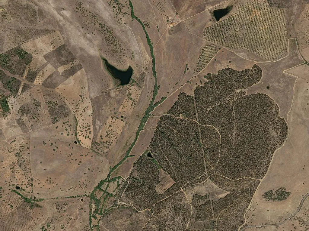
One river, two accents
Downstream, the Erges has carved a 200-metre gorge into the schist. The single-arch bridge at Salvaterra, completed in 1935 on Roman footings, replaced a rope ferry that charged two reales or one Portuguese vintém, language negotiable. Walk onto the span at dusk and you’ll hear two lullabies: the river’s hydraulic growl below, and a Spanish farmer calling cattle that graze the Portuguese bank—proof that ecosystems decline to stamp passports. Above, Griffon vultures ride thermals rising from the canyon; their 2.5-metre wingsp tilt automatically when they cross the invisible frontier. Park rangers share logbooks with their Spanish counterparts across the valley: imperial eagles don’t do visas either.
High-altitude larder
Mealtimes are bilingual. Roast Cabrito da Beira arrives with a crackling audible above the crackle of the open hearth; its Protected Geographical Indication tag is checked by inspectors who drive over the bridge from Castelo Branco and sometimes linger for lunch. Lamb shoulder is simply seasoned with coarse salt, the crystals harvested from the Rio Maior pans 150 kilometres west. Olive oils—Beira Interior DOP, both northern and southern expressions—turn bread into cutlery, while hand-picked Azeitona Galega olives provide a tannic counterpoint to the local red. The wine list is short but vertical: altitude-hardened vines rooted at 550 metres, fermented on skins for twenty-one days, then left to sleep through winters that can touch –8 °C. Smokehouses built from chestnut laths still season chouriço for ninety days; the oak logs come from the same forest that once fuelled Roman hypocausts.
Trails that predate paper
Naturtejo Geopark paths weave across 600 million years of crustal narrative: folded quartzite, phyllite sheens, strike-slip faults that nudged these mountains skyward. Interpretive panels quote the Ediacaran era in Helvetica, but the real commentary is underfoot—glossy leaves of strawberry tree, the iodine scent of broken rock rose. Iberian magpies keep pace for fifty metres, then bank into cork-oak shade older than the 1297 Treaty of Alcanices that first drew this border. By late afternoon you reach the granite bench above Monfortinho; below, the thermal pool steams again, indifferent to emperors, treaties, or Strava times. Slide in: the water still holds the same 32 °C that unknotted a legionary’s calcaneum, the same mineral recipe that will loosen yours while the serra air tightens the skin on your cheeks. Borders, at this temperature, dissolve like the vapour drifting skyward—an ephemeral white flag between two countries that the Romans never bothered to separate.