Full article about Summer Beach, Winter Boulders: Cumeada & Marmeleiro
Seasonal river lido, ridge-top loop and Knights Templar tithe paths in Sertã’s quiet parish
Hide article Read full article
River beach that vanishes in winter
The Marmeleiro weir is barely three metres deep, yet in July it becomes a natural lido. A 70-metre ribbon of shingle is roped off, water is tested weekly and a pop-up bar serves icy beers. Come September the dam gates stay open, the beach disappears and the stream reverts to granite boulders and a 20 °C trickle.
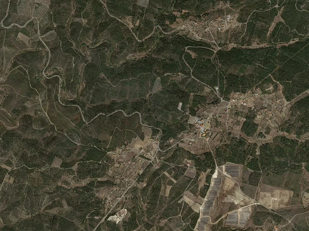
Cumeada sits at 450 m, ring-fenced by four low ridges—São Brás, Santo António, Cume Grosso and Cume Pequeno—none topping 500 m. Walkers can link them in a half-day loop that finishes at the village fonte, still the social noticeboard.
Land once tithed to the Knights
In 1232 the Order of Malta was granted these hills; until 1860 every household surrendered a fifth of its rye and olive crop. The parchment deed—book 45, folios 123-125—survives in Castelo Branco’s district archive. The 2013 merger of Cumeada (pop. 420) and Marmeleiro (238) into a single parish saved on administration, yet the two hamlets retain separate postcodes: 6100-501 and 6100-502.
Bridges, mills and private water
The so-called Roman bridge at Cova do Moinho is actually 18th-century, 32 m of single-arch schist dated 1793. Downstream, the 18 m Várzea Carreira bridge was rebuilt in 1954 after a winter flood tore away its predecessor. Of fourteen water-mills mapped in 1940 only four stand: Malhão’s still clasps a 2.5 m wooden wheel; Cova do Moinho’s is now a hay barn. All are on private land—knock before you photograph.
Oil, kid and the Sertã sausage
Beira Interior olive oil has held DOP status since 1996; the Galega olives give a peppery finish. Buy at the Cernache do Bonjardim co-op or at Quinta da Marmeleira, open Friday 2-6 pm. The region’s IGP-protected kid goat fetches €14 a kilo at the butcher, while a 400 g maranho—local blood-sausage stuffed with rice and mint—costs €18 at Mercearia Central and feeds three.
Interior Way, quiet pilgrims
The Caminho Interior de Santiago cuts 13 km across the parish, way-marked by yellow arrows and knee-high granite posts. There are no hostels; the only beds are in four licensed rooms—collect the list from Sertã’s tourist office beside the river.