Full article about União das freguesias de Portunhos e Outil
Walk Roman purse trails, sleep in a stream-side mill and sip Bairrada DOC in Portunhos e Outil, Cantanhede’s slow-living fusion of rice, stone and wine.
Hide article Read full article
The Ançã stream is no more than a silvery ribbon, ankle-deep and forgettable to anyone but the herons. Yet it still irrigates the paddies that supply Cantanhede’s cooperativa with Carolino rice seed and keeps the mill races turning—slowly—at the two surviving watermills, one in Portunhos, one in Outil. Both have been converted into weekend cottages whose owners arrive on Friday night with supermarket baguettes and city-bought rosé.
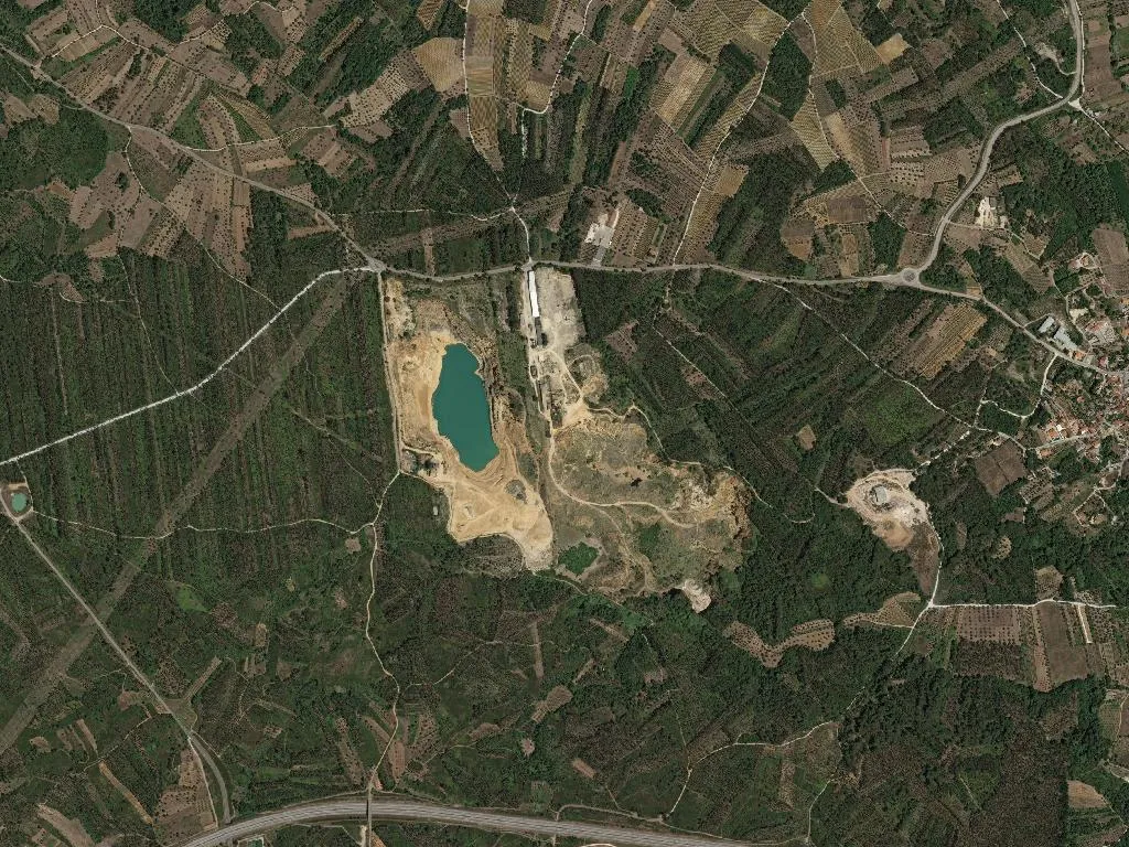
Portunhos’ name is stamped on a 1080 charter as Portunica. It was never a seaport: limestone quarried from the escarpment above was sledded down to flat-bottomed lighters that ferried it along the Ançã to the Mondego. The quarry scars are still visible, pale gouges above the single-lane bridge where the parish council plants geraniums in oil drums every spring.
In 1991 a Pena farmer snapped his hoe on a ceramic pot and uncovered 2,000 Roman coins—4th- and 5th-century bronze, now displayed in Cantanhede’s small museum. No buried-treasure romance: most likely a tax collector’s purse, mislaid or hidden during one of the Suevic raids that frayed the edges of the empire.
Until 1867 villagers were still buried under the flagstones of Pena’s church. When the bishop finally enforced the new cemetery 200 m away, the congregation rioted for three days; one man was shot, five jailed. The confiscated grave-slabs now pave the nave; you walk on 17th-century names polished smooth by Sunday Mass.
The rice fields give way to Bairrada vineyards planted on schist terraces. The beef on local menus is Marinhoa DOP, grazed 15 km away in Vale de Remígio; the wine is Bairrada DOC—tasted in Outil’s granite cellars (€5 by appointment; they lend you the glass). Expect Luis Pato’s baga, Niepoort’s elegant touriga, and conversations that drift from rainfall to EU subsidies.
Population: 1,850, 28 % over 65. Portunhos’ primary school closed in 2016; the 7:30 a.m. bus to Cantanhede returns at 5 p.m. with homework and playground gossip. The café in Portunhos opens at 7, shutters at 8; Outil’s serves only morning espresso. The nearest pharmacy is 8 km away, Coimbra’s hospital 35 minutes up the A14. GPS falters in the valley—lower the window, ask the man with the pruning shears.
Cross the bridge, listen to water slipping over limestone, and you realise time hasn’t stood still; it just refuses to hurry.