Full article about Vilarinho: granite lungs of the Serra da Lousã
Vilarinho, Lousã’s highest parish, offers fog-draped trails, a Moorish-watch castle and schist villages where only chestnuts drop.
Hide article Read full article
Vilarinho, where the mountain exhales between granite and moss
The fog arrives like a slow-motion avalanche, swallowing pines and oaks whole. At 566 metres above sea-level the air is already damp enough to taste; every breath carries the metallic tang of wet schist and the iodine snap of pine resin. Then comes the hush – not silence exactly, but the absence of human pitch. No engines, no mobile chimes, only the soft pop of a twig surrendering to the weight of water in the canopy.
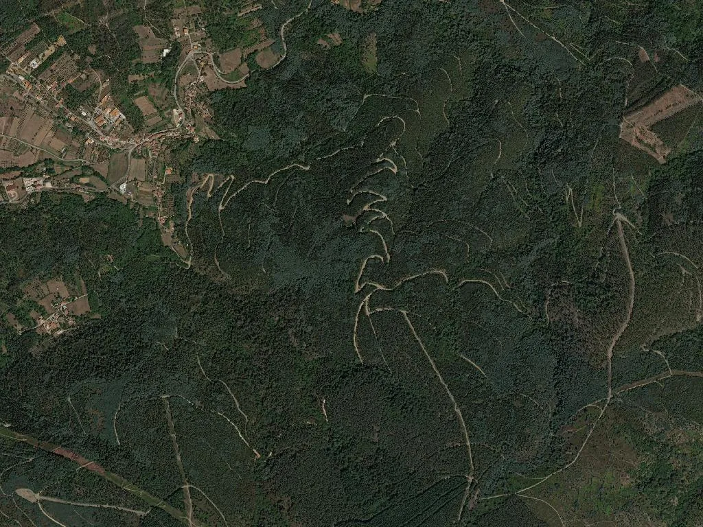
This is how mornings begin in Vilarinho, the largest civil parish of Lousã municipality, 25 km² of granite and chestnut forest folded into the western flank of the Serra da Lousã. Six-and-a-half thousand people are spread across the main village and a constellation of hamlets that climb until the tarmac gives up and the footpaths take over. Population density is 255 souls per square kilometre, yet it feels half that; houses settle into the slope as if the mountain had inhaled and forgotten to breathe out again.
The castle that still watches for Moors
Castelo da Lousã perches on a quartzite spur above the village, its keep rising just 28 metres yet commanding the whole Ceira valley. Built in the eleventh century by Sisnando Davides – the Mozarab count who reclaimed Coimbra from the Moors in 1064 – the fortress was charged with blocking the old Roman road that linked the Mondego to the Tagus. Today the battlements are more likely to stop hikers than invaders, but the psychology remains: from the new steel-and-schist belvedere installed in 2019 you can trace every wrinkle of the landscape, from the serpentine gleam of the Ceira to the endless file of maritime pines that carpet the ridges.
Inside, the masonry tells two stories: Romanesque arches rounded like Roman bridges, later Gothic slits sharp enough to slice light into blades. Conservation architects left the stone blackened by centuries of rain; accessibility ramps and glass panels are deliberately secondary, ghosts of the twenty-first century rather than reinterpretations of the medieval.
Local lore insists that King Arunce, a Visigothic monarch fleeing the Arab advance, hid his treasury somewhere beneath the foundations, together with his daughter Peralta. No one has found a dinheiro, but the tale refuses to die – proof that some landscapes are so theatrically proportioned they demand a subplot.
A palace that swapped nobility for pillow menus
Half-way down the slope the Palácio dos Salazares trades martial severity for Pombaline symmetry. Completed in 1764, the house obeys the rigid proportions imported after the 1755 Lisbon earthquake: perfect cubes, stone quoins, a pediment carved with the Salazar coat of arms – not the dictator, but an older lineage of minor provincial nobles who administered the royal forests. Since 2015 the building has operated as a nine-room hotel, its corridors scented with beeswax and old oak, the library still stocked with nineteenth-century editions of Camões and Garrett. Guests wake to the creak of wide-board floors and the faint smell of wood smoke drifting up from the kitchen chimney – a domestic soundtrack the original occupants would recognise instantly.
A parish church that keeps its own climate
Three minutes on foot, the Igreja Matriz de Vilarinho occupies a terrace bulldozed from the hillside in the 1530s. The exterior is modest – granite blocks softened by lichen, a bell-cot added after the 1755 quake – but cross the threshold and the temperature drops five degrees. Thick masonry stores winter cold and releases it through August, creating the same micro-climate Portuguese churches use to cure hams. Inside, the gilded altarpiece is restrained by Baroque standards: Solomon columns, a carved pelican feeding her young with her own blood, and, tucked into a side chapel, a polychrome terracotta nativity smuggled from Naples in 1786 by a local priest who had taken ship with the British navy during the Napoleonic wars.
Footpaths that tunnel through schist
Vilarinho is the western gateway to the Aldeias do Xisto (Schist Villages) network. Way-marked trails leave the village square, plunge into sweet-chestnut coppice and emerge an hour later in Talasnal, its roofs still tiled with slabs of dark schist that absorb sunlight and return it as copper late in the afternoon. The gradients are forgiving – no more than 300 metres of ascent – but the footbed is unruly: exposed roots, granite cobbles polished to marble slickness, sudden runnels of spring water that turn the path into a temporary stream. Soundtrack provided by the Ceira below, a constant white-noise counterpoint that fades when the trail climbs and the wind takes over.
For birders the altitudinal span is gold: dippers bob on mid-stream boulders, short-toed eagles circle overhead, and in April nightingales flood the scrub with territorial stereo. Photographers time their walks for the 40-minute window before sunset when the schist walls ignite and the villages look internally lit.
A demographic seesaw
Since the 2013 administrative merger Vilarinho has been coupled to Lousã town in a single freguesia, yet the parish retains its own demographic signature: 889 residents under fifteen, 1,411 over sixty-five. The arithmetic is visible in daily rhythm – school release at 4 p.m. produces a two-minute eruption of rucksacks and footballs, then the streets relapse into the slower cadence of retirees who still measure time by the Angelus bell. Fourteen lodgings – from the palace hotel to a single hostel bunkroom – mean visitors can calibrate luxury anywhere between Frette sheets and a sleeping-bag on a pine floor.
Access is disarmingly simple: Lousã is eight minutes by car, Coimbra 35, yet the forest density and the 500-metre contour persuade the brain it has reached the hinterland. Mobile signal drops to one bar at the castle, zero in the river gorge – a blackout luxury increasingly rare in southern Europe.
A charter older than Portugal
Vilarinho’s first royal charter predates the nation-state: Afonso Henriques granted a foral in 1151, renewed by Manuel I in 1513 with the addition of a weekly market that survives as the Saturday fruit and craft fair in Lousã’s main square. Human occupation stretches further – Iron Age castros crown neighbouring summits, and the Roman road that linked Conímbriga to the silver mines further south still survives as a sunken lane two metres deep, its flagstones rucked upwards by centuries of chestnut roots.
Even the name carries archaeology: Vilarinho is a diminutive of “vila”, the Latin villa, but shrunk to village scale, the suffix carrying affection rather than diminishment. It signals a place big enough for bells, small enough for everyone to know the blacksmith’s dog by name.
Dusk is the moment when topography and memory merge. The castle becomes a paper cut-out, absolute black against a sky draining from rose to steel. Wood smoke begins to rise, vertical commas punctuating the horizon. Somewhere below, the last blackbird rehearses tomorrow’s descant. You stand on the battlements feeling the day’s heat retreat from the stone into your palms – a thermal receipt that says, without apology, you were here.