Full article about Unhais-o-Velho
Houses perch on a 746 m river bend; only 421 souls, one bakery, one café and a lone hiking trail.
Hide article Read full article
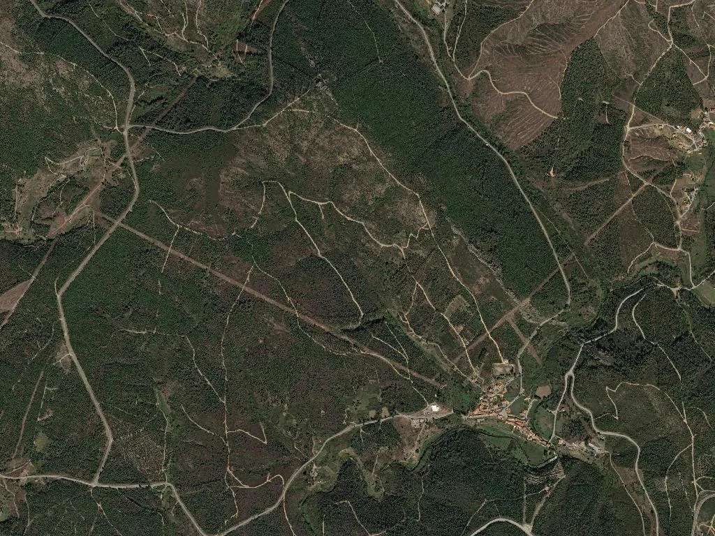
Granite sheers straight into the river. Houses solder themselves to the only scrap of level ground — a granite prow 746 m above the loop of the Rio Unhais. Population: 421, plus 16 primary-school pupils who keep the village’s heartbeat audible.
A name no one can translate
Unhais-o-Velho. Linguists toss around Huns, stags, even “hook-shaped bend”; no theory sticks. Documents are clearer: the Benedictines of Folques ran the place until 1834, Fajão parish swallowed it next, Pampilhosa da Serra re-claimed it in 1885. A parish in its own right since 1629.
Church and chapel squeezed by boulders
Igreja de São Mateus, 1824, is a plain rectangle enlivened inside by a painted wooden ceiling and an 18th-century crucifix strung across the crossing. Thirty metres away, the hexagonal Capela do Santo Cristo — unique in the region — works as both wayside shrine and natural GPS fix for walkers picking their way through the granite chaos.
20 January
Bodo de São Sebastião. Chestnuts roast in iron pans, wedges of corn-rye “pica” bread are handed round, red wine sloshes into whatever cup you remembered to bring. The feast begins after lunch and finishes when the last ember dies.
Where to sleep
Only one self-contained let: Casa do Forno, Rua da Igreja 32. €80 a night, wood-burner, terraced herb garden. Ring ahead — once you drop into the village gorge Vodafone flat-lines.
Where to eat
Padaria Abreu unlocks at 07h00; by 13h00 the last loaves are gone. Café Correia on the N344 will pull you an espresso and dish out lupini beans until 20h00. That is the entire hospitality strip.
What to do
Trilho dos Penedos: 7 km, two and a half hours, blazed in blue. Start at the fountain, climb to Miradouro do Cão for vulture-level views, then corkscrew down to the river. No springs en route — fill bottles in the village.
Unhais-o-Novo river beach: 8 km of washboard dirt road signed simply “Praia”. Water cold enough to make a trout flinch; snack bar opens Thursday-Sunday only.
Petrol
Nearest pump is 17 km away in Pampilhosa da Serra (07h00-22h00). Saturday afternoons it routinely runs dry — fill up before you arrive.
Signal
Vodafone flickers to life in the churchyard. Elsewhere, assume aeroplane mode.
When the fog hauls itself up from the gorge, Unhais-o-Velho unpins itself from modern Portugal. What remains is granite, wood-smoke and the soft clink of a cup against a wine jug.