Full article about Loulé São Sebastião: Moorish vaults, tangerine dawn
Loulé São Sebastião blends 11th-century taipa walls, 1908 Moorish-vaulted market and hill-cooled carob-scented streets.
Hide article Read full article
Loulé, São Sebastião: Where limestone still carries a Moorish echo
The first sound inside Loulé’s 1908 market hall is not stallholders’ banter but your own footfall ricocheting off stone. The revivalist building’s horseshoe vaults, unapologetically lifted from North-African mosques, magnify every step; high louvres funnel early light across pyramids of carob, oranges and shark-steak, splashing the pale limestone walls with tangerine. Scents layer like gauze: pennyroyal, brine, beeswax from the leather-and-copper workshops two streets away.
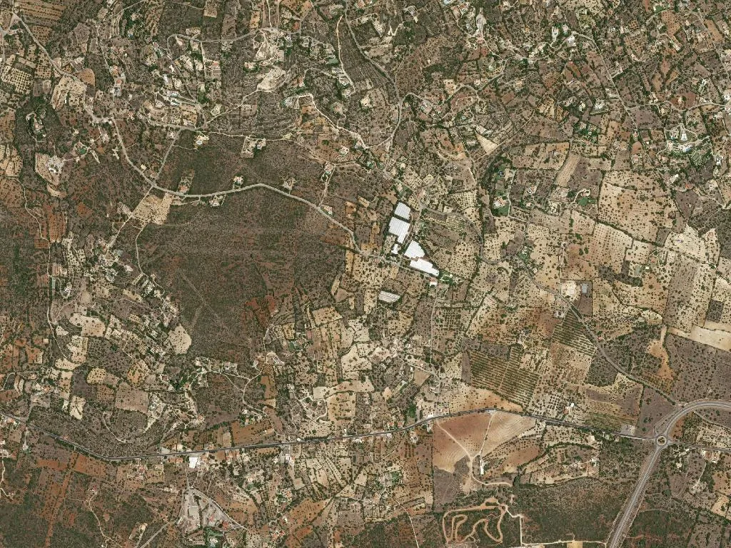
São Sebastião is the eastern half of Loulé’s old town, spilling from the castle ditch towards the Caldeirão hills. It stretches across 62 km²—big enough for 6,807 souls to keep the pavements alive, small enough for conversations to outnumber cars. At 177 m above sea level it sits precisely where the Algarve’s coastal strip gives up and turns into cork-dry sierra.
Walls that still speak Arabic
Dom Paio Peres Correia took Loulé from the Moors in 1249, yet Islam was never erased—only re-plastered. Climb the keep of Loulé castle and you stand on taipa: rammed-earth battlements the colour of dried blood that darken to bitter-chocolate after winter rain. The tower’s medieval skin is stitched onto 11th-century footings; run a hand along the mortar and the pores feel still warm.
São Sebastião only appears in charters after 1579, when plague and privateering drove citizens beyond the original walls. They dedicated their new parish to the Roman martyr whose arrows promised immunity from both war and sickness—insurance the borderlands badly needed.
Inside the former Convento do Espírito Santo, now Loulé’s town museum, five centuries of Franciscan silence have settled into the stone like cold smoke. Thick masonry keeps the air refrigerated; worn lioz steps dip in the centre, scooped out by slippers and, later, by school-trippers.
Gold leaf and cobalt that trap the sun
The parish church of São Sebastião (1550-1650) doubles as an accidental sundial. Morning light slips through lateral slits and ignites the gilded altarpiece; by late afternoon the same carvings smoulder like old brass. Eighteenth-century tiles—cobalt on milk-white—cool the retina while the thermometer outside nudges 38 °C. In the adjoining cemetery the tiny Baroque chapel of Nossa Senhora da Conceição is limewashed so fiercely that July noon makes you squint.
Few visitors follow the aqueduct south-west to the Ponte da Fonte Coberta. Between rampant figs and smilax, its dressed-stone arches carry grey-green lichen that looks almost woven, as if the masonry had been upholstered in damp velvet.
Hills of dry-farming and the Ria’s salt breath
Topography here is a lesson in transition. Northwards, limestone rises into open scrub where solitary holm-oaks and umbrella pines throw lacy shade; shepherds’ paths still link cortijo-style smallholdings whose almond terraces rattle under your boots. This was the cork belt that financed the town’s 19th-century bourgeoisie—look for the faded “Fábrica de Cortiça” painted on warehouse gables.
Turn south and the ground drops through vineyards planted on Kimmeridgian marl—the same limestone that underpins Chablis—into the Ria Formosa Natural Park. Tidal channels inhale and exhale twice daily, exposing glinting mudflats where avocets, flamingos and Kentish plovers spoon up breakfast. The Algibre and Quarteira streams funnel these hills into the lagoon, carving pockets of humidity where even in August the air smells of wet earth and mint.
Read the walls as you walk
The most reliable map is the pavement itself. São Sebastião’s grid is too small to get lost in: 176 lodgings—ranging from hostel bunks in converted tobacco warehouses to five-bedroom manor houses—are scattered within ten minutes of the castle. Population density (109 people/km²) delivers just enough footfall: pensioners debate football on benches while teenagers surge past with satchels at 16:30 sharp.
Start at the market, drift uphill past English-Georgian doorways grafted onto Moorish party-walls, and finish on the rampart walk as the sun slips behind the 295 m hump of São Miguel. For a moment the air holds both tannin from the cork depot and salt from the Ria ten kilometres away. That blended scent is the parish’s coordinate: neither sierra nor shore, but the exact hinge where one dissolves into the other.