Full article about Carapito: granite whispers of Neolithic giants
Walk schist lanes to Iberia’s largest dolmen, Manuuelino pillory and sheep-cheese cellars.
Hide article Read full article
The granite hush of Carapito
Footsteps echo across the praça’s granite setts, ricocheting between schist walls the colour of weathered tweed. At the far end, a Manueline pillory has stood since 1514, its carved rope and armillary sphere watching mutely as the village first thrived as a municipal seat, then shrank to a parish after Mouzinho da Silveira’s 1836 reforms. Morning light drags long shadows across the stonework; the bell of Igreja da Purificação tolls with the unhurried cadence of a place that measures time in centuries, not seconds.
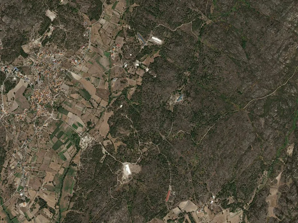
Where stone remembers 5,000 winters
Pastureland stitched with cork oaks shelters four megalithic sites. The Dolmen of Carapito—largest on the Iberian Peninsula—spans 5.2 metres, its granite slabs hauled into place five millennia ago by Neolithic neighbours who traded gold from the nearby Jarmelo hills. Wind scours lichen-gold surfaces; the only soundtrack is the occasional bleat of Bordaleira sheep, the same breed whose milk will later become cheese. On the low ridges of Gralheira and Abelhas, archaeologist Virgilio Correia traced proto-historic ramparts in 1921; the terraces still follow those Iron-Age lines, holding the hillside like a brown tweed waistcoat.
Climbing to the Talefe
Serra do Pisco tops out at 989 m, Portugal’s thirty-ninth highest summit. The concrete geodetic tower nicknamed Talefe—ten metres of 1954 brutalism—survived a 1987 lightning strike that shifted its blocks but never toppled it. A seven-kilometre loop climbs through maritime pine and centuries-old chestnut, resin and damp earth perfuming the air. From the platform the view unwraps south-east to the glacial cirques of the Estrela massif, north over the Beira shale plateau, a rumpled blanket of olive and heather fading into haze.
Cheese, cornbread and clay-pot lamb
In Dona Alda’s workshop, Bordaleira ewe’s milk becomes Serra da Estrela DOP, cloth-bound and matured for thirty days minimum. Break the wedge and it sighs like a down pillow; spread it over warm slices of Aguiar’s soft-crumbed broa de milho and the taste is meadow-sweet but tangled with thistle rennet. Smoke curls from kitchen hearths where salpicão and chouriço de carne cure slowly over chestnut logs. The signature dish, chanfana, is kid marinated in Dão red—Encruzado and Touriga-Nacional grown on the Tourigo slopes—then slow-collapsed in a Molelos clay pot until the sauce turns ink-black and glossy. Finish with filhós de abóbora (pumpkin fritters) and almond tortas, recipes nuns carried out of the dissolved monastery of Santa Maria de Aguiar in 1834.
Drums that mark the year
On 2 February the village honours Nossa Senhora da Purificação with a candle-lit procession led by the Grupo de Bombos de Carapito, a drum corps founded the same year the geodetic tower was struck. Their bass rumble rolls through the streets, answered by improvised verses in the 1956 cine-theatre long after the parade disperses. Mid-December brings three separate bonfires—Lapinha, Adro, Rossio—while life-size nativity scenes colonise doorways and alleyways, their straw glimmering against 682 m of winter night. Since 1979 the parish chronicle Caruspinus (Latin for “beloved pine”) has recorded births, deaths and gossip, keeping the community’s pulse in ink as indelible as the granite itself.
Dusk drops a cool, wet veil; mist coils uphill. Outside the pillory, Dona Aurélia pulls her door shut—metal latch grating on wood cracked by five hundred winters. The village settles into its stone silence; only the Ribeira de Carapito keeps talking, a low murmur heading for the Dão.