Full article about Mata de Lobos: church left bell-tower behind
Granite belfry 607 m downhill, Templar chapel, 1664 battlefield, goat & terrincho lunch
Hide article Read full article
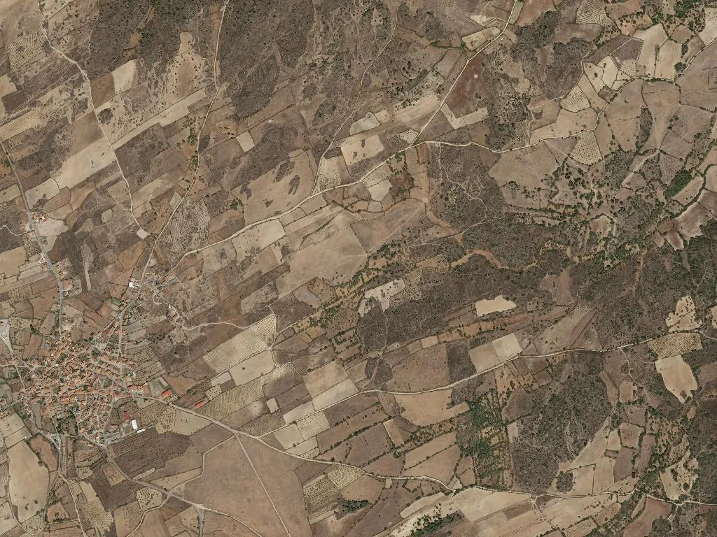
The Bell That Moved House
Granite doesn’t bend, yet the bell-tower of Mata de Lobos appears to have strolled downhill, leaving its church stranded in the village square. Locals date the separation to 1759; some claim acoustics, others swear the priest wanted to out-ring the neighbouring parish. Whatever the motive, the sound still carries across 607 m of Beira plateau, thinning the air until every lungful feels like an inhalation of history.
Where the Harvest Became a Battlefield
Walk seven kilometres south-west and the wheat gives way to a low ridge called Salgadela. On 7 July 1664 this was Portugal’s western front: no trenches, just sky, cork oaks and the dry grass that snapped under boot. Spanish cavalry charged uphill; Portuguese farmers held the line long enough for the invaders to retreat towards the border. The granite obelisk raised by Pedro Jacques de Magalhães still marks the spot, flaking in the wind that carries nothing but heat and the faint smell of gunpowder imagined. Take water – shade is as scarce as survivors.
Templar Footnotes in Stone
Half a mile north-east, the chapel of Santa Marinha predates income tax and most surnames. Built when the Knights Templar collected tithes in swords rather than euros, its porch is scored with the mason’s shorthand – a cross pattée here, a sailor’s knot there. The graves outside are anthropomorphic, carved to the silhouette of the bodies beneath: bespoke death, medieval sizing. Beside them a stone fountain runs at 6 °C year-round; cup your hands and you taste snowmelt from the Meseta that has taken three centuries to arrive.
A Board of Oil, Cheese and Kid
Hunger is the village clock. Breakfast is a slice of broa still breathing oven steam; by eleven the goats are already turning on the spit, basted with olive oil that bites the corner of your mouth like a suspicion. The cheese is terrincho DOP, sheep’s milk wrapped in chestnut leaves, politely aggressive – a first date that argues back. Locals pour wine from unlabelled bottles; the tint is so dark it stains the glass. Accept the refill – refusal is interpreted as an insult to both host and geology.
Cliffs, Griffons and the Spanish Border
Follow the Águeda east for ten minutes and the fields fracture into 200 m slate-coloured cliffs. This is the Douro International Natural Park, population density 7.8 souls per square kilometre – wolves outnumber wi-fi signals. Griffon vultures wheel overhead, their two-metre wingspan reduced to full stops against the gorge. A single trail hugs the rim, unsigned, unstaffed, unfailing. Walk for an hour and the only voices are your boots negotiating loose schist. Turn back when the sun hits the water copper; the village dinner table starts promptly when the relocated bell tolls, and lateness is measured in empty dishes.