Full article about Vila Franca da Serra: Where Granite Breathes Mountain Lore
Savour schist glints, 16th-century stone lace and oak-scented air above the River Seia.
Hide article Read full article
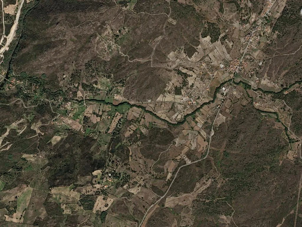
The granite warms slowly in the late sun, releasing the day’s heat in steady pulses. At 342 metres above sea level, on the last ripple of lowland before Serra da Estrela rears up, Vila Franca da Serra keeps time by the liturgical calendar and the colour of the oaks. Two hundred and thirty-eight people share just over ten square kilometres where schist outcrops gleam like blades and the River Seia slips unseen beneath alder roots until it slides under the three-arched Ponte Nova.
Stone, faith and a 16th-century window
The parish church of São Vicente has anchored the village since 1691; its date is chiselled into stone that has defied every winter the mountain has thrown at it. Two minutes away, the Casa do Quinhentista shelters the region’s earliest Manueline window—curling, eroded, still elegant. In 1545 it belonged to the village’s captain-major, António de Oliveira, when Vila Franca carried enough weight to merit its own municipality. That status vanished on 24 October 1855, swallowed by Gouveia after the liberal suppression of Linhares. Santo António’s chapel (1643) and the 1952 shrine to Nossa Senhora de Fátima mark the devotional stations of the ensuing centuries. Higher still, at 620 m on Cabeço Alto, dry-stone walls of a pre-Roman hillfort recall habitation five centuries before the Romans arrived.
Between branding rock and communal oven
Penedo do Mazorro, a whale-backed granite slab at 780 m, refuses to photograph well. You need lungs full of cold valley air and the whistle of the Seia 300 m below to grasp the scale: green of Portuguese oak, grey of schist cliff, white noise of water. Until the 1960s this was the shepherds’ council chamber, where ewes were branded with red-hot iron in the lee of the rock. Closer to the cottages, the communal bread oven built in 1923 still stands, its iron door scorched ochre. Rotas were fixed: Mondays the Martins, Tuesdays the Sousas, Wednesdays the Oliveiras—each family arriving with dough proved under linen cloths.
Cold water, hot stone
Ponte Nova’s river beach is the antidote to August afternoons. Melt-water at 14 °C races down from the plateau; alders throw shifting shade over schist platforms polished by bare feet. Of the village’s 15 children, every one learns here that breath can be stolen in a single plunge. A 5 km loop, the PR4 “Trilho das Pontes”, follows the Seia upstream to Poço do Inferno, where the river folds into a 20-metre waterfall between walls of black schist—part of the UNESCO-designated Estrela Geopark.
DOP ewe’s milk, IGP lamb and oil from thousand-year-old trees
The mountain’s flavours arrive unadorned. Serra da Estrela DOP cheese, cured for 45 days in schist cellars, has the damp-mushroom scent of the caves themselves. Its cousin, Requeijão, spreads like clotted cloud on warm broa. Lamb and kid carrying the same protected labels are roasted over laurel and oak, served with Mondego potatoes and rice thickened with offal. Peppery olive oil from centenarian trees in the Beira Alta DOP gilds the plate; a glass of Dão—Alfrocheiro and Touriga Nacional—adds violet scent and granite tannin.
The 1789 bell
When darkness settles, engines are few and voices drop. What carries is the bronze bell cast by Manuel Dias in 1789, tolling the hour from São Vicente’s tower. The note rolls across slate roofs, collides with the wind on Mazorro and dissolves among the oaks—time kept not to hurry anyone, simply to remind the valley it is still alive.