Full article about Chestnuts & Clouds Above Machico
Drive Santo António da Serra’s hair-pin road from Machico’s black beach to 600 m greens, chestnut orchards and a ridge that divides parish loyalties.
Hide article Read full article
A road that forgets the sea
The climb begins at Machico’s black-sand crescent and ends 274 m higher on a plateau the colour of moss. Every hair-pin drops the mercury another two degrees; by the nineteenth kilometre the windscreen is fretted with mist and the bonnet smells of wet earth. Here, at 474 m, 42 ha of Castanea sativa still produce 30 t of fruit each autumn—the only significant crop on Madeira that refuses the banana’s monocultural pull. The same Atlantic cloud that beads the chestnut husks persuaded the Blandy family to lay out a course in 1924; Hutchinson & Harris, British railway engineers turned golf-course architects, carved 27 holes into 600 m of altitude and called the place Santo da Serra Golf Club. The fairways still float like a green raft above the trade-wind inversion.
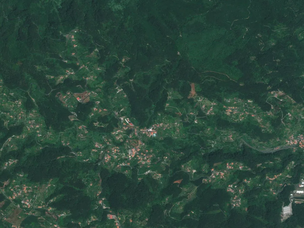
The parish that answers to two mayors
A stone water-fountain, dated 13 June 1862, marks the spot where provincial bureaucrats drew a line across the ridge. The ink dried: 523 ha to Machico, 357 ha to Santa Cruz. Children living above the line catch the school bus to Santa Cruz; their cousins three terraces below vote in Machico’s parish hall. The same lane can carry the postcode 9200-XXX yet be logged by Brussels in two separate NUTS III regions. Locals call the upper hamlets—Lombo das Faias, Margaça—“the line above”; Fajã dos Rolos and Achada do Barro are simply “the line below”. Borderland life is negotiated daily: a baker’s van that serves both councils, a football pitch whose touch-line is municipal limit.
Water, stone, thatch
Santo António spring—registered with the regional water authority as number 38—pushes 1.2 litres per second of 9 °C water through a basalt spout. In 1958, when the road was still cobbled, truckers hauling eucalyptus to Porto da Cruz stopped here to refill radiators that boiled after seven kilometres of first gear. Above the spring, ten thatched haylofts survive from the 42 counted in 1960. Every third autumn the roofs of Juncus effusus are replaced, 1.2 tonnes of soft-rush cut along the Ribeira do Porco in Santa Cruz and hauled uphill by tractor and mule. The parish church, rebuilt in 1873 after the 1848 earthquake, keeps its first baptismal ledger open: entry one, 7 January 1724, records “António, son of João de Leão and Maria de Jesus, pardo, born in Achada do Barro”.
The belvedere that measures the island
From Portela lookout, 670 m above sea level and 1.8 km past the church cross, a bronze plaque names eighteen reference points. Penha d’Águia, the blunt tooth 4.2 km north-west, appears close enough to bite. Santa Cruz airport, 11 km due south, is a toy on a felt mat of sugar-cane. The prevailing north-easterly averages 18 km/h; in October 2010 a gust of 96 km/h toppled 47 trees across the ER102. At 17:45 on any clear evening the sun slips behind Pico do Areeiro (1 818 m) and the thermometer dives four degrees in twenty minutes—why shepherds still bring cattle down before 18:00, even in June. The 1893 bell, cast at São Gonçalo works in Funchal, strikes the quarter; the note takes twelve seconds to vanish among the hydrangea clumps that farmers clip to 1.20 m hedges for their maize plots.