Full article about Canhas: laurel smoke, embroidery & plateau wind
High above Ponta do Sol, Canhas grills beef over bay embers while women stitch scented-wax lace.
Hide article Read full article
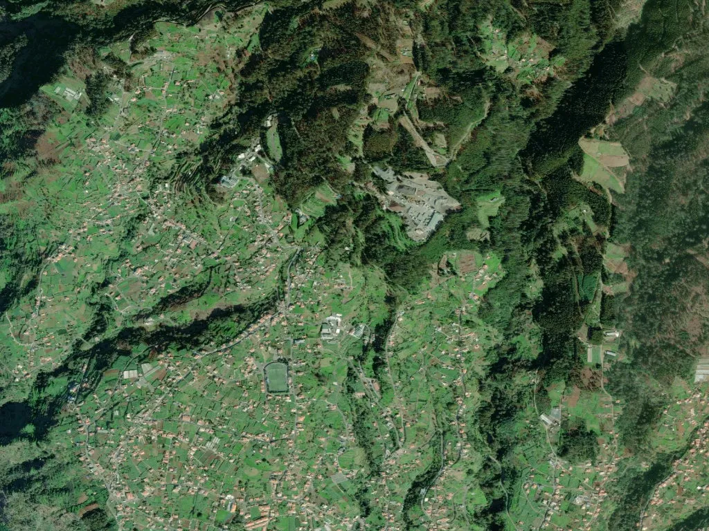
Woodsmoke drifts uphill, laced with the resinous snap of burning bay laurel. On a makeshift grill, skewers of beef hiss over embers while rounds of bolo do caco – Madeira’s sweet, floppy flatbread – warm on a basalt slab. At 663 m above the Atlantic, Canhas straddles knife-cut valleys and the island’s only plateau, Paul da Serra, where heather rolls like moorland and the wind arrives uninterrupted from the Azores high. Every litre of rain that lands here is eventually piped thirty kilometres east to Funchal along stone-lined levadas, the 16th-century aqueducts that first turned this escarpment into cultivable territory.
The parish that took a surname
The settlement is named after the Canha family who staked plots on these basalt shelves in the 1430s; their surname became the address. The parish church, Nossa Senhora da Piedade, crowns the Lombo da Piedade ridge, flanked by two smaller chapels – Nossa Senhora dos Anjos and the diminutive Socorro. Down in the hamlets of Feiteira and Carvalhal, water-mills still straddle the same stream, their paddles turning only at the discretion of winter storms. Levadas do Poiso and da Madalena slice across the slopes, feeding a lattice of stone channels – sacadas – that once metered irrigation with Euclidean precision.
Needlework, fire and festa
Canhas styles itself “the house of the embroiderers”. In whitewashed front rooms, women stretch linen across tambour frames, stitching cross-stitch and the looping ponto vagonite their grandmothers used for dowry sheets. A cooperative workshop sells cuffs, table-runners and christening gowns still finished with the original Madeira hallmark: a single drop of scented wax pressed into the selvedge. Labour Day weekend (moved here to early May) turns Lombo da Piedade into an open-air churrasqueira: beef cubes, bay and garlic are threaded onto laurel sticks, corn cobs are simmered with tuna and onion, and pearl-wheat soup with kale is ladled from copper pots. Tangerine poncha washes down dark-honey cake; glasses of aguardente and home-made licor de hortelã circulate until the brass band packs up.
Paul da Serra: the island’s rooftop cistern
The plateau rises to 1 400 m, an ecological oddity where gorse replaces banana and, in February, snow can dust the peat. Here the Ribeira da Ponta do Sol is born, carving a 12-km canyon to the coast. PR17 – the Pináculo & Folhadal trail – sets out from the roadside carpark, ducking through tunnels hacked by pickaxe, brushing past 80 m waterfalls and laurel forest so saturated it drips. An interpretation centre inside an old pumping station explains how 600 km of levadas keep Madeira’s southern terraces irrigated; a scale model shows how Portuguese engineers copied Moorish gravity-fed systems they had seen in Sicily.
Laurissilva and birds with no mainland cousins
UNESCO-listed laurel forest clothes the northern escarpment, a relic of the Tertiary kept alive by Atlantic cloud. Along the signed footpaths, the only sound is the drip of condensation from bay leaves and the metallic tic-tic of the Madeiran firecrest – Europe’s smallest bird, found nowhere else. Stand on any basalt outcrop and the view tilts 600 m down to the almond terraces of Ribeira Brava, the colour of the sea shifting from slate to tourmaline as clouds rise and collapse against the ridge.
A village becomes a nativity scene
Each December since 1985, Poço – the western hamlet – stages a living presépio. Stone cottages become stables, shepherds in hand-woven cloaks lead sheep through cobbled lanes, and wood smoke issues from every chimney. Visitors wander by candlelight; someone presses a cup of chocolate quente into your hand, someone else offers a wedge of bolo do caco still blistered from the hotplate. When the fog folds over the eaves and the church bell strikes eight, you realise the entire plateau has become a theatre – and the audience is simply whoever walked uphill in time for evensong.