Full article about Santo Antão: São Jorge’s Sky-High Hamlet
Clinging to a 481 m cliff, this mist-washed parish trades ocean roar for cows, cobbles and cheddar.
Hide article Read full article
The Zig-Zag Ascent
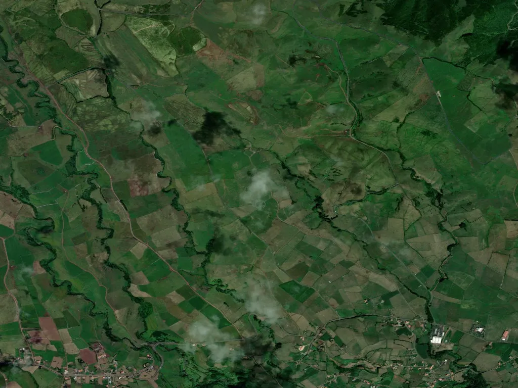
The road corkscrews upwards and the Atlantic drops away, a ragged blade of cobalt against São Jorge’s north coast. Half-way up the escarpment, precisely 481 m above sea-level, Santo Antão unrolls across a topography that refuses to level out: emerald pasture clipped to basalt cliffs, the air salted by spray and tinged with wet earth. Only 629 people share this aerie, and the quiet feels gravitational.
Life on the Slope
Population density: fewer than twenty souls per square kilometre. Hamlets are scattered like confetti; basalt cottages grip the gradient with limpet tenacity. Walls a metre thick moderate January chill and August heat alike. Walking here is a vertical negotiation—old cobbled footpaths still stitch the settlements together, each bend swapping one dizzy ocean angle for another. Below, the fajãs—those flat lava deltas—gleam like improbable green postage stamps.
Winter’s Ledger
Census 2021: 83 under-30s, 146 over-65s. The parish is ageing faster than its cows. Mist rolling in from the sea keeps the thermometer low and the grass lush; the milk travels downhill to the co-operative that produces São Jorge’s DOP cheddar-style queijo.
Between Ocean and Ridge
Too high for fishing, too steep for broadacre farming, Santo Antão survives on small herds and subsistence plots. Dry-stone walls draw contour lines of muscle across the hill. Dusk amplifies every wrinkle in the terrain until the landscape is reduced to fundamentals: rock, pasture, water, sky.