Full article about Santo Amaro, São Jorge: Mist-Clad Ridge Above Pico
Walk wind-battered lanes past terraced vineyards, abandoned basalt cottages and lowing Holsteins.
Hide article Read full article
480 metres above the shipping forecast
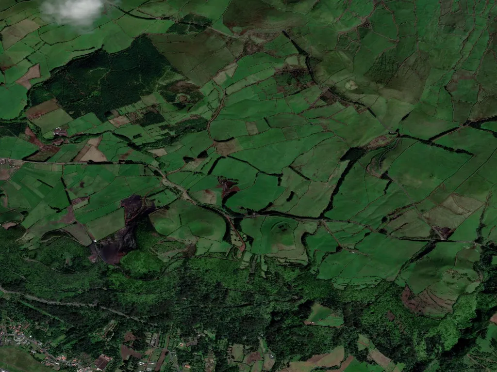
Mist unscrolls down the flanks of the Serra de Santo Antão like a damp sheet, carrying the scent of scorched gorse and iron-rich soil. At 480 m – not five hundred, every metre matters when you are walking a herd home – Santo Amaro looks straight across the channel that separates São Jorge from Pico. The north-westerly never stops; on bad days it drags the sulphur breath of the Ferraria fumarole up the cliff.
The parish numbers 790 souls (2021 census) scattered across 22 km² of hydrangea-edged pasture walled in black basalt. Density is 35 people/km², but that is misleading: half live within earshot of the municipal road, in the hamlets of Arrabalde and Loural. Follow the lane to Almas or Terreiro da Igreja and you will find doorways locked since the Carnation Revolution.
Height and silence
Winter holds the ridge by absolute majority. In March the smallholder at Loural still fires his Salamander at six o’clock before climbing to milk his eighteen remaining cows. The stone is local, split at the Pedreira do Norte; the terracotta tiles came from the old Lagoa works, the same factory that roofed Velas until 1983. Asphalt ends at Terreiro; beyond, a bruised cobble crawls 3 km to the chapel of São Miguel, reachable by foot or juddering jeep. Journeys are deliberate: to drop milk at the communal tank, to deliver bread to Dona Guida, or to cut the grass that will carpet the lane for São João.
Vineyards that nearly vanished
In 1950 the parish held 1,470 people and 400 ha of vineyard. Today six survive, clinging to the Cerrado plot, the vines trained low inside 1.8 m wind-breaks. The grape is Verdelho, ferried from Pico in 1892 by Captain Amâncio de Bettencourt; bottles from 1969 still rest in the family cellar. Milk now pays the bills: 180,000 litres a year leave for the São Jorge dairy union, paid €0.42 a litre this January. The 260 Holstein-Friesians grazing the ridge are a long fall from the 800 counted in 1985.
There are 105 children under fourteen and 164 residents over sixty-five. The primary school enrolled thirty-seven pupils last year, seven bussed daily from neighbouring Norte Grande. Two festivals punctuate the calendar: on 15 August the feast of Nossa Senhora da Saúde, when candle-carrying parishioners walk from the mother church to the Cerrado vineyards; and on 29 September São Miguel, featuring the island’s only rope-bullfight run between dry-stone walls.
What lingers
At dusk Pico’s shadow spills across the fajã do Ouvidor 600 m below. You taste Dona Odete’s 60-day cured cheese, kept cool under the stone sink; you hear the chapel door groan shut and the distant rattle of Zé do Loural’s pick-up ferrying milk churns downhill. There are no signposts, no souvenir stalls. What remains is the thin air that burns the lungs on the climb, a cow’s call ricocheting valley to valley, and Atlantic salt drying on your lips though the sea itself stays out of sight.