Full article about Santana
Pastures cling to 30° slopes above gun-metal sea in São Miguel’s geopark-listed Santana
Hide article Read full article
Basalt walls and sea-fog
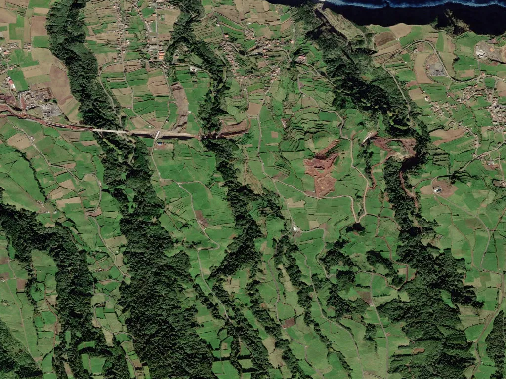
The lane corkscrews between waist-high ramparts of basalt stitched thick with moss. Santana perches above the Atlantic at 315 metres, where pasture green dissolves into a horizon of gun-metal blue. Air arrives damp, laced with wet earth and salt blown fifteen kilometres from the north coast of São Miguel. Three hundred and eighty people share six square kilometres of slope; every terraced plot carries the imprint of families who learned to farm on a 30-degree gradient.
Altitude and vapour
Pastures for dairy herds alternate with pocket-handkerchief fields hedged by hydrangeas that double as windbreaks and property lines. In winter, fog wells up from the valley like rising milk, erasing walls and cattle until mid-morning. When the sun finally slices through, dew beads on spider-silk strung between stones and the fields look lacquered.
Settlement is scattered. Whitewashed Azorean houses—basalt corners, four-pitch roofs—stand alone or in clusters of three along the single access road. Fifty-six children and seventy-three pensioners make up the demographic ledger; at sixty souls per square kilometre, silence is the default soundtrack, broken only by a cowbell or the wary bark of a cão de fila.
Inside the geopark
UNESCO listed the Azores as a Global Geopark in 2013, and Santana’s bedrock résumé is persuasive. Scoria cones stud the pastures; ferruginous springs seep from fissures; trachyte outcrops jut above the lane. The 2.8-kilometre Ribeira do Guilherme trail crosses 2,300-year-old pumice before ending at rust-red waterfalls where locals still fill bottles for “blood water” tonics.
Vines survive here too, trained low inside stone corrals no wider than a dining table. Sheltered from Atlantic gales, they yield thumbnail-size bunches that a handful of growers ferment into vinho de cheiro—literally “smell wine”—a rustic red once shipped to whaling crews.
Green clock, blue horizon
Life follows the agricultural calendar. Milking starts at five; tankers collect milk for the Nordeste dairy co-op in Povoação; afternoons are spent mowing terraces or mending walls. Elderly gardeners hoe yam and kale beds, saving maize leaves for chickens. A trip to the supermarket in Ribeira Grande demands forty minutes of switch-backs, so most households keep two cars and a freezer the size of a sarcophagus.
At dusk the pasture glows amber, manure and flowering pittosporum scent the air, and the ocean shifts from cobalt to pewter as clouds skid across it. From this balcony above the Atlantic you feel the island’s true scale: a fragment of basalt adrift between two blues, kept alive by people who learned to tilt the land instead of leaving it.