Full article about Angra’s Cobbled Corner Where Time and Tide Meet
Explore Angra do Heroísmo’s rain-slick basalt streets, 1570 grid, Sé towers and convent azulejos on Terceira Island.
Hide article Read full article
Black basalt glistens under the drizzle that has just swept across the bay. In the cobbled heart of Angra do Heroísmo, footsteps echo off whitewashed façades and the cathedral bell tolls with the same cadence it kept when this was a 16th-century staging post halfway between Lisbon and the Indies. Every stone here is a lesson in proportion: 12-metre-wide streets laid out in 1570 by royal corregedor Duarte Nunes de Leão, wide enough for ox-carts to turn and for Atlantic gales to pass through without whipping the rooftops.
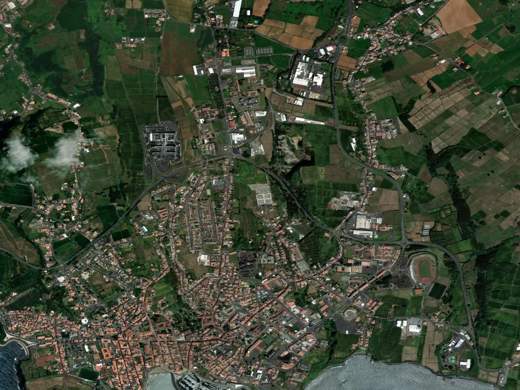
The name itself is cartography—angulus, the Latin for “corner”, describing the wedge of land where the Ribeira de São Francisco meets the sea. Within 244 hectares hemmed by ramparts and hydrangeas live 3,377 residents, giving the parish a density (1,384 per km²) unheard-of on the other Azorean islands. At barely 100 m above sea-level you can still sight both the cratered interior of Terceira and the slate-grey ocean that once funnelled carracks and privateers into the bay.
Stone upon stone, century upon century
The Sé Catedral, begun in 1570, stands square against Atlantic squalls. Its twin towers survived the 1980 earthquake that cracked modern apartment blocks, and inside the cedar-wood scent of 1718 gilded carving still meets the salt air. In the chancel a 1760 episcopal throne recalls the year the Prince Regent (future João VI) took refuge here while Napoleon’s troops occupied Lisbon. Three blocks east, the pink-plaster Palácio dos Capitães-Generais served as seat of the Azores’ military governors from 1766 until 1832; today its balconies overlook public gardens planted with dragon trees and the island’s only outdoor café where espresso is still poured into 1950s porcelain.
Inside the former Convento de São Francisco, 17th-century azulejos narrate the life of St Francis in cobalt and chalk. Walk the cloister at 4 p.m. and the tiles catch the same oblique light that once guided Franciscan friars to vespers. The building now houses the Azorean museum of sacred art, including a 1522 Flemish triptych whose donors—Lisbon spice merchants—paid for it with pepper profits.
At the tip of the Monte Brasil peninsula, Forte de São João Baptista has watched the harbour mouth since 1567. Its basalt walls—polished by 450 years of salt wind—still show cannon emplacements turned toward the anchorage where, in 1581, English adventurers tried to seize the island for the pretender Dom António. The failed assault earned Angra its honorific “do Heroísmo”; a title later confirmed by parliament in 1839, long after the guns had cooled.
Between ocean and pasture
Saturday dawn brings the 1886 market hall alive: black scabbardfish, rose-red bicudas, and silver sargos laid on banana leaves. Elderly shoppers—831 residents are over 65—trade recipes for caldeirada while their grandchildren buy kiwi-sized ananás from nearby greenhouses. Behind the stalls, tiny walled gardens grow kale and mint against the Atlantic wind; stone irrigation troughs still carry runoff from the public laundry built in 1854.
Up Rua de São Pedro, the house of whaling captain João António Júdice keeps a 1923 grape arbour in its courtyard. Come October the family distil aguardente de figo, a fig brandy once used as ballast aboard the schooners that hunted sperm whales as far south as the Azores–Gibraltar fault line. The drink surfaces again at Christmas, poured over honey cake in the candle-lit Sé during the Missas do Parto, nine dawn services whose polyphonic chanting carries across the praça’s black-and-white mosaics.
Afternoon fog—common at this moderate altitude—rolls in from the bay and softens the façades to charcoal and ivory. By dusk the moisture retreats, leaving façades glowing like Carrara marble under sodium lamps. At the junction of Rua da Sé and Rua de Santo Espírito, a 1772 stone cross marks the spot where, during 19th-century cholera outbreaks, guards dipped sponges in herb vinegar for arriving sailors to cleanse their hands.
Where lime meets basalt
Angra’s grid is low-rise but never claustrophobic: arcades give shelter, corners are chamfered so Atlantic light can slide in, and every largo contains either a baroque church or a banyan tree whose aerial roots graze the basalt setts. The Atlantic is never more than 300 metres away; even indoors you taste brine on the air. Stand at the western ramparts at sunset and you see why Unesco listed the centre in 1983: the geometry of empire—fort, cathedral, customs house—framed by pasture and ocean, still functioning as a working port rather than a diorama.
Leave by the southern gate at night and the city’s double nature is clear: fortress and refuge, memory and present tense, stone that absorbs the day’s heat and releases it slowly to anyone resting a palm against the wall. Somewhere a cockerel crows across the roofs, and the cathedral bell answers—counting not just the hour, but the centuries this wedge of volcanic rock has served as Atlantic shorthand for civilisation.