Full article about São Bartolomeu de Regatos: bells, boats & bobbin lace
São Bartolomeu de Regatos hides Azorean fishing fleets, 1500s churches, camellia forests and lace looms on Terceira.
Hide article Read full article
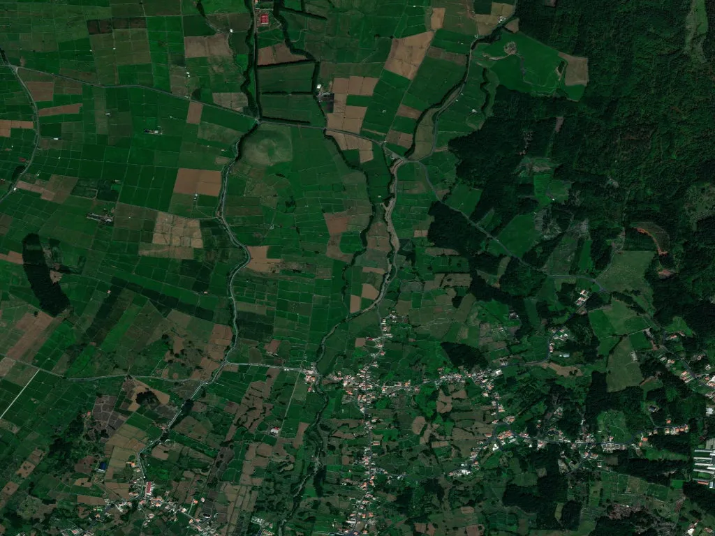
The dawn bell of Igreja de São Bartolomeu cuts through the Atlantic mist while the first diesel Toyotas rattle downhill to the quay. By the time the echo dies, the basin of Ribeira da Ponte is already alive: gulls wheel above the island’s largest fishing fleet, diesel mingles with wet basalt, and a forklift beeps like an alarm clock for the entire parish. Someone once counted the rivulets that feed the estuary and gave the place its plural name—Regatos, the streams. They still run fast enough to drown a mobile if you misjudge a leap across the slipway.
How water wrote the script
Permanent water is rare on Terceira’s southern littoral; the parish’s founding generation knew a bargain when they saw one. Settlers arrived in the early 1500s, diverted the stream to irrigate terraces of maize and vines, and built a chapel in 1500 that became the axis of a new parish in 1564. The present church—three naves, twin sacristies, a tower that survived the 1980 earthquake—looks more ambitious than a population of 1,936 might warrant, yet its façade still carries the inscription FUNDATA 1500, a quiet boast that nothing here is an afterthought. Inside, the 1960s chandeliers shattered in the quake were replaced with modest globes; the volcanic stone walls refused to shift even a centimetre.
Walk east and the settlement dissolves into 2,500 hectares of pasture and cryptomeria that climb to the eastern ramparts of the Serra de Santa Bárbara. At 77 people per km², neighbours are measured in fields rather than fences. The parish museum keeps two 19th-century countermarch looms that still clack if you supply a foot and a rhythm; local women once spent January winds weaving toalhas de bilro—linen towels edged with bobbin lace that now sell for the price of a round-trip ticket to Lisbon.
Forest, lake and the absence of signal
Six hectares of camellias and azaleas make up the Viveiro da Falca, a Victorian-minded arboretum laid out in the 1950s with picnic tables, barbecue grates and paths that surrender to moss within a week. Follow the steepest trail and mobile reception vanishes; after thirty minutes you reach Lagoa das Patas, a perfectly round volcanic mirror ringed by heather and silence. Even the gulls lower their voices. Locals claim the lake is bottomless; hydrographers simply never found the plug.
Higher still, the Pico dos Frades viewpoint delivers a widescreen sweep: the navy-blue wedge of Monte Brasil, the silver airport runway that looks like a scald on the green, and, on very clear days, São Jorge 55 km away—close enough to recognise the neighbour who still owes you money from the 1995 parish dance. Sunset belongs to the Miradouro da Chanoca where “five more minutes” stretches into an hour and the Atlantic turns from pewter to copper before you remember dinner.
Fish before sunrise, dinner before the news
Back at the quay, the auction begins at 05:45. Swordfish, mackerel and blue jack mackerel are forked from iced holds while prices are shouted like football scores. By 07:00 the best crates are already rolling toward Angra’s restaurants; arrive later and you’ll inherit the trimmings. At Cais de São Bento, a corrugated shed beside the slip, order espadarte straight off the boat: the steak arrives an inch thick, painted with molho de vilão—a chilli, garlic and red-pepper glaze—beside a mound of roasted sweet potato. Ask for the full portion; regret is lighter than hunger.
Angra do Heroísmo, a Unesco World Heritage site, sits ten minutes east. You can breakfast on pastéis de nata beneath 17th-century arcades and still be back in Regatos before the dew burns off the grass. Evening traffic is equally obliging: a plate of limpets in Angra, a nightcap of verdelho from Pico, and you’re in bed with the windows open to the sound of the stream that named the parish.
A chapel unlocked only by festivity
The Império dos Regatos, a tiny Holy Spirit chapel, stands white-washed outside, lipstick-red within—grandmother’s colour scheme transposed to architecture. The door stays padlocked between festivals; peer through the keyhole and you’ll see the narrow altar where three generations have placed their promises: a sailor’s medal, a student’s laminated exam timetable, a grandson’s ultrasound scan. Beyond the chapel the Ribeira da Ponte keeps sliding toward the sea, tracing the same line elders followed when they carried fresh catch to waiting luggers. The water never stops; neither, it seems, do the people it shaped.