Full article about Calvaria de Cima
Walk sun-bleached limestone ridges above Porto de Mós where the 1385 Battle of Aljubarrota thundered
Hide article Read full article
The limestone beneath your shoes has been burnished by centuries of sun and sheep. Where the light strikes, it bleaches to the colour of old bone; in the lee of dry-stone walls it stays cool and velveted with moss. Just beyond the portico of São Jorge’s church the air smells of warm pine needles and the ghost of resin—a reminder that these ridges were once a navy in waiting, their forests harvested for masts and tar.
On 14 August 1385 this inconspicuous saddle of land just north of Aljubarrota became the anvil on which Portuguese independence was hammered out. The Castilian army was routed here in little more than an hour; today the only clash is between blackcap song and the tinkle of a distant bell on a grazing ewe.
Where you can still finger the past
The parish council christened Calvaria de Cima (“Upper Calvary”) in 1924, splitting from Porto de Mós to keep its own accounts, yet the name had echoed long before. Some say it derives from cal—lime—burned in roadside kilns; others invoke the Latin calvaria, skull, a nod both to Golgotha and to the bones once scattered across a battlefield.
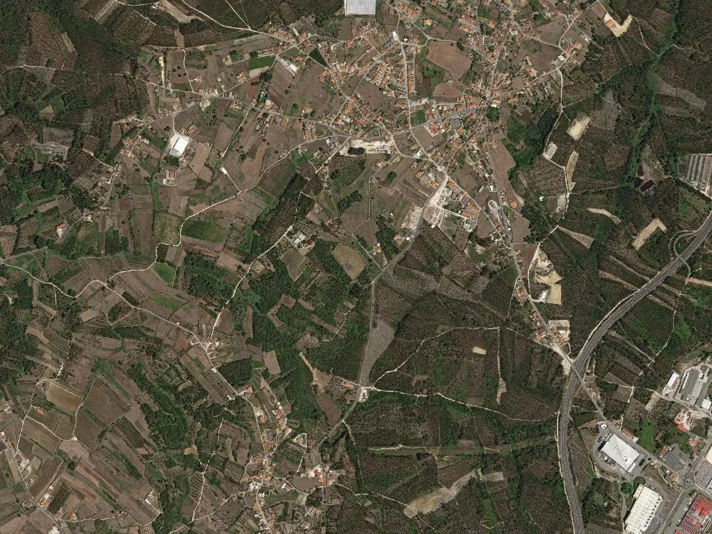
Interpretation has grown subtler since 1999, when a modest white-washed centre opened beside São Jorge. Inside, charcoal drawings by José Santa-Bárbara and tabletop models by João Mendes Ribeiro walk visitors through the phalanxes and longbows. Outside, a 3.8-km signed loop, laid out by Porto de Mós town hall in 2015, lets you pace the ridge yourself. Stand at the miradouro late in the afternoon and the valley of the Lena floods with molten light; shadows ripple across the olive groves like slow cavalry.
Three further churches keep the parish anchored to the liturgical year. Head to Santa Marta on 29 July and you’ll follow a procession of villagers carrying candles to the chapel of St Anthony; on 23 April São Jorge blesses sprigs of strawberry-tree leaves; the first Monday in October sees Nossa Senhora da Guia host a cake-and-wine auction that doubles as the neighbourhood’s annual balance sheet. No fireworks, no tour buses—just the same families who have kept the calendar since reconstruction after the 1755 earthquake.
Olive oil, apples and the scent of resin
Look down from the ridge and the patchwork explains itself: dark-green pinhal bravo, silver-grey olive, and, on the gentler slopes, the neat geometry of orchards. Resin still drips into scallop-shell tins in São Jorge and Casais de Matos, though only two cooperatives now distil where once there were 47. Between them they supply the last remaining factories in Leiria with raw rosin for varnishes and violin bows.
The olives earn a DOP Ribatejo Norte label—180 tonnes a year from 450 hectares of predominantly cobrançosa and galega cultivars. Pears and apples arrive with equal pedigree: 1,200 tonnes of Rocha pears and 800 tonnes of Alcobaça apples, the latter stacked in slatted crates every Saturday morning at the roadside stall on the old IC2. Ask nicely and the Pereira family—tending the same orchards since 1963—will slice a pear so crisp it snaps.
There is no single “dish of the parish”; instead, menus read like a regional atlas. Order ensopado de borrego at Pastor Serrano and the chunks of lamb come scented with mint and mountain thyme; O Moinho, turning since 1987, still serves a brick-red chanfana cooked in a copper pot once used for pine-pitch. Finish with a coffee sharpened with bagaço firewater while the baker from Diogo, kneading since 1952, hauls out wheaten loaves that taste faintly of the wood-fired oven’s resinous smoke.
A natural edge
Calvaria de Cima nudges the western rim of the Serras de Aire e Candeeiros Natural Park, its boundary drawn in 1979. Ephemeral streams—São Jorge and Ursa—slide off the limestone scarps into the Lena, leaving behind poljes smooth enough to skate in winter floods. Marked footpaths climb from the church to the skyline crests; climb at dawn and you’ll watch mist pool in the valleys while stonechats rattle from the gorse.
Average altitude is a gentle 137 m, high enough for cool nights that set the apples colouring, low enough for easy cycling. The council has stitched together dirt tracks and quiet tarmac into a 22-km loop that rolls past battle-site markers, abandoned limekilns and the ghostly white trunks of storm-felled pines.
Thicker on the ground than you’d expect
With 231 inhabitants per square kilometre, Calvaria de Cima is an anomaly in Portugal’s interior—denser than the national average and four times that of the surrounding municipality. Proximity helps: the A1 and IC2 slip you into Leiria in fifteen minutes; Porto de Mós, with its schools, health centre and weekly market, is four kilometres down the hill.
Modern villas—white-rendered, aluminium-windowed—have sprouted among the vegetable plots since the late 1990s, yet the demographic seesaw still balances: 361 children fill the primary schools, 528 pensioners swap gossip in the cafés, and 47 young returnees have taken up the government’s “Regressar” incentive since 2018. The parish council’s latest project is a high-speed fibre loop—battlefield tourism uploads at the speed of light.
Dusk settles, wood smoke drifts from chimneys and the stone walls glow like low embers. Somewhere up the lane a gate hinge squeals, the same sound a Castilian scout might have heard 639 years ago. Listen longer and the past recedes, replaced by the steadier cadence of a place that has swapped clashing steel for pruning hooks and still manages to keep time with itself.