Full article about Serro Ventoso: wind-carved ridge above Porto de Mós
Marble hamlets, goat trails and apple terraces cling to a 458 m limestone ridge
Hide article Read full article
The wind files in ahead of you, riffling through the stone pines and whistling between slabs of Jurassic limestone. At 458 m, the ridge earns its name—Serro Ventoso, “Windy Hill”—and the air is never still. It scours the dry-stone terraces, rattles the iron cross on the chapel at Chão das Pias, and carries the faint tang of wood-smoke from someone’s kitchen stove.
This parish was only inked onto the map in 1933, yet people have wrestled a living from these slopes since Moorish times. Agriculture here is an act of defiance: vines and olive trees anchored in fissures, rows of Pêra Rocha do Oeste trained along wires, and the local IGP apple that manages sweetness in soil no thicker than a thumbnail. Kids still herd goats whose milk will become the kid stew that warms January tables.
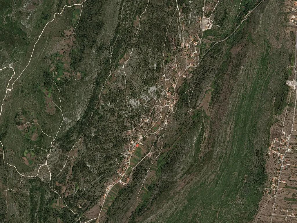
Seven hamlets—Casal Velho, Gingil, Lagar Novo, Marinha de Baixo, Mato Velho, Poio, Sobreira—scatter across 32 km². Together they claim 892 souls (2021 census), enough to keep three-year rotation alive: each village hosts the São Silvestre procession in turn, carrying the saint through lanes so narrow the bearers have to tilt the litter to clear the walls.
Come August the main square fills for the Festival do Galo—rooster in every pot, vinho tinto in plastic beakers—and October’s Stone Art turns blocks of local marble into temporary sculpture. Mountain-bikers arrive for the Raid Rota das Minas, following red-and-yellow waymarks across the Natural Park of Aire and Candeeiros, past sinkholes and cave mouths where underground rivers have carved nave-sized chambers.
Coal and marble once paid the bills; both still feature on the parish coat of arms. The Monumento ao Galo and the war-memorial obelisk serve as meeting points, while wind-stilled mills like Picoto stand sentinel. From the lookout above Chão das Pias the land folds away in blonde waves of grass and evergreen oak, the horizon scribbled with limestone crags.
Tracks drop into the Fórnea amphitheatre or climb the Vale de São Silvestre, where every footfall clicks against fossil-studded rock and goats scatter like hailstones. By late afternoon the wind cools but does not rest; it brings the scent of burnt eucalyptus, a distant bell, laughter echoing off whitewash. Serro Ventoso keeps breathing, resisting both gravity and time.