Full article about Águas Livres: Lisbon’s aquifer suburb where rivers whisper
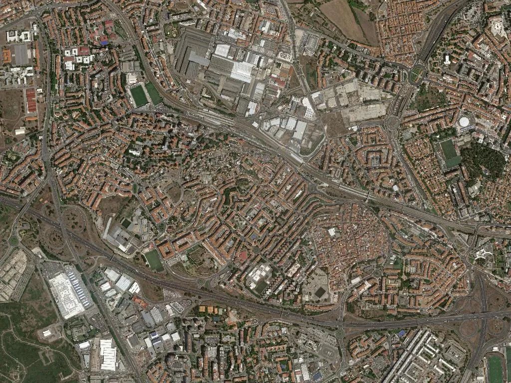
Beneath Amadora tower blocks, aqueduct arches vault over buried streams and palace gardens.
Hide article Read full article
Águas Livres: where the city still keeps its springs
The sound finds you before anything else. A low, almost embarrassed murmur seeps through the tarmac – the Ribeira do Porto, long entombed in concrete, still insists on sliding beneath the six lanes of Avenida Manuel da Maia. It is a November dawn in Águas Livres, and the air carries the damp chill of the Jamor valley, a cold that smells of wet loam and last week’s leaves. Statistically this is mainland Europe’s most crowded square mile outside Monaco – 37,607 people shoe-horned into two square kilometres – yet one block east of the traffic lights you can still run your fingers along stone walls built when this was market-garden country and Lisbon was a week’s cart-ride away.
The water that christened a parish
The name is literal. “Free Waters” was the 1731 royal decree that sent aqueduct builders tunneling 58 km from the Sintra hills to a stone reservoir at Amoreiras; the parish itself sits over the same aquifer the engineers tapped. Until the 1890s the Fonte do Coxo on the Serra da Carregueira was a scheduled stop for the aguadeiros – water-carriers who walked clay amphorae into the capital, yokes cutting grooves across their collarbones. Águas Livres was hived off from neighbouring Alfragide in 1928 and promoted to vila status in 1997, but every street map still advertises the stubborn fact: the ground here leaks.
Masonry between tower blocks
The Aqueduto da Fonteireira – a tributary of the great eighteenth-century system – is the classified monument that proves it. Thirteen arches of limestone and lime mortar, freckled with lichen, stride across a 1950s housing estate and butt straight into the boundary wall of Quinta da Fonteireira, a mid-eighteenth-century manor whose terraced gardens survive as a pocket-sized Versailles between apartment wings. Further south, Quinta do Bom Jardim keeps its 1560s palace and olive press intact; at four o’clock the west-facing stone still radiates the day’s heat back into the street. From the parish church – a 1930s neo-Baroque replacement for a chapel the 1755 earthquake shook to dust – the signed Trilho das Águas climbs 124 m to the Miradouro do Mocambo, the highest point in the municipality, where the view north picks out the saw-tooth ridge of the Serra da Carregueira exactly as mapped by the military engineers who plotted the aqueduct’s course.
Sardines, chickpeas and a lost fado stage
In June the air on Largo 25 de Abril is lacquered with charcoal and sardine oil. Santo António’s parish street-party keeps to the classic script: basil pots, paper streamers, rehearsed marchas parading at midnight. In January the Cortejo dos Reis revives the almost vanished custom of the janeiras – roving bands of teenagers singing New Year couplets door-to-door in return for cake and brandy. The cooking is river-Lisbon rustic rather than restaurant-aspirational: chickpea hot-pot with winter greens, tomato rice paved with grilled sardine, Jamor eel stew thickened with coriander. On Saturdays the family-run panela kitchens send out jugged wild boar with chestnuts; at Pastelaria O Cacau the bolinhos de noz – walnut biscuits glazed with egg yolk – emerge the colour of polished mahogany. The only culinary export to travel beyond the parish is Damaia Brewing’s oatmeal stout, fermented in a former garage off Rua Professor Francisco Gentil and now poured in Lisbon taprooms fifteen kilometres away. Half a century earlier the corner premises opposite housed Café Latino, one of the first café-concerto licences issued in the dormitory town of Amadora; ageing residents still recall impromptu fado matinées that finished when the trams started running.
Water trails and the pilgrim way
Águas Livres Urban Park folds eight hectares of meadow and wetland into a dog-leg valley once quarried for aqueduct stone. Winter fog hovers above the boardwalk; from the bird-hide you can clock kingfishers arrowing between alder trunks. The Mata de Belas, partly inside the parish line, supplies 6 km of single-track for trail-runners threading holm-oak and strawberry-tree scrub. Here the Central Portuguese Route of the Camino de Santiago slips incongruously past Lidl distribution depots, following medieval footpaths that once linked the Damaia fair to the collegiate church of Belas – proof that pilgrimage is not exclusively a northern Portuguese vocation. Beside the subterranean Porto stream an interpretive panel marks the 1980s discovery of a Roman necropolis exhumed during IC-19 earthworks: second-century glass unguent bottles now in the Amadora town museum, testimony that commuters have been hurrying through this pass for nearly two millennia.
Where concrete never quite corked the spring
Águas Livres refuses the windscreen. It yields only at walking pace – to the stepped terraces of Fonteireira, to the climb through pine and prickly-pear to Mocambo’s summit, to the January streets where someone is always rehearsing janeiras. It is a parish where almost 9,000 pensioners share benches with more than 5,000 under-tens, where the statistical suffocation dissolves the moment you enter the park and the loudest sound is a blackbird ratcheting through the reeds. Late afternoon, lay a palm against the Fonteireira aqueduct’s cool stone and you can still feel the damp breathing upwards – the same free water that named the place and, obstinately, keeps running underneath.