Full article about Rio de Mouro: Where the Buried River Still Murmurs
Concrete commuter town hides pine-scented trails and a forgotten watercourse beneath Sintra’s skirts
Hide article Read full article
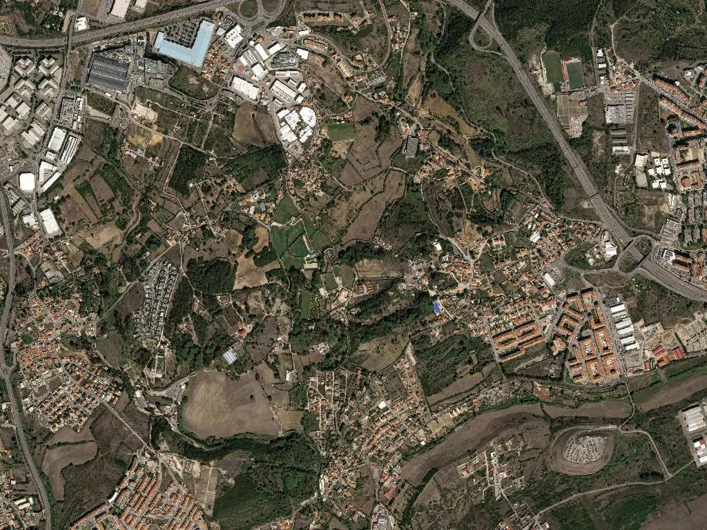
The Sintra-line train shrieks to a standstill and fifty thousand commuters surge onto the narrow platform, thumbs already scrolling. Yet walk thirty paces past the ticket gates, drop down Rua da Liberdade, and the metallic screech is replaced by something older – a low watery whisper beneath the tarmac, the ghost of the Albarraque stream insisting it was here first. That contradiction is Rio de Mouro: one of Portugal’s most congested dormitory towns, shoe-horned into 11.5 km², where three turns later the air is suddenly soaked in pine resin and Atlantic humidity drifting in from the Sintra-Cascais Natural Park.
The river that nobody sees
The name itself is a cartographer’s memory stick. “Rivus Muros” – the river of walls – appears on King João V’s 1720 map, tracing a current that once slid past field boundaries and dry-stone enclosures. Engineers entombed most of it beneath the N9 in the 1980s, yet the toponym survives on bus destination blinds, on street signs, even on parish council letterhead, refusing to be concreted over.
From orchards to apartment blocks in two generations
For eight centuries this was scattered farmland, part of Sintra’s 1154 charter. Albarraque, Rinchoa, Varge Mondar – names that reek of 1758 land-registry ink, of ox carts between orange groves. The pivot came in 1964 when the IC19 motorway reached the foot of the hills; between 1978 and 1982 CP doubled the railway. Commuter altitude: 115 m. Result: one of Lisbon’s densest satellite towns. On 24 June 1993 Rio de Mouro was officially promoted from “locality” to “town”; 12,451 voters then, almost 50,000 now.
Stroll the old Albarraque core and you can read the layers like tree rings. One-storey cottages – whitewash, pyramidal tile roofs, blue trim – crouch beside the 1983 Junqueiro estate, where washing flaps above plastic geraniums. Barns have become garages; a threshing floor now serves as a car park for the Quinta da Fonte flats. The water-mill at Varge Mondar is somebody’s lock-up, yet its millstone still lies in the back garden, half submerged in lemon-balm.
Concrete basilica and a music school that retunes the neighbourhood
There are no listed monuments, only the Church of Nossa Senhora da Paz, inaugurated on 15 August 1976 by Father Américo Monteiro. The 36-metre nave is lit by Querubim Lapa’s stained glass (1981) and visited by the occasional president. The real cultural engine is next door: Sintra’s Music Conservatory, housed in a repurposed 1960s school since 1994. Six hundred students, seventy teachers, free monthly concerts that used to pack the church pre-Covid. At dusk you can hear a saxophone class vying with the neighbouring Lidl’s concrete mixer – Bach versus builder.
Pêra Rocha, hill wine and Monday’s market
Saturday and Monday mornings the 1984 market hall wakes up. By 7 a.m. Maria de Lurdes Pinto, 68, is unstacking the first Pêra Rocha pears from her Janas orchard – the local micro-climate pushes the season forward to August, weeks ahead of the western Lisboa plain. Stall 17 sells Quinta do Conde red at €3.50 a litre decanted into blue plastic. There is no parish-specific dish, yet since 2017 the Alegro shopping centre has queued for Hugo Gomes’ condensed-milk croissants – a Rio de Mouro native who has turned a childhood sweet tooth into a pastry-chef signature.
Green corridors between the high-rises
The surprise is what slips between the apartment ribs. The parish footpath PR3 “Rio de Mouro–Ribeira de Albarraque” measures precisely 3.2 km, way-marked in yellow since 2009. It starts behind an Intermarché supermarket, ducks into eucalypts that shot up after the 1985 fire, and ends on Rua das Fontainhas where the stream finally sees daylight. A 4.3 km cycle lane, opened in 2018, plugs the town into the Ecopista do Oeste – you can pedal car-free from Rossio station to the Jamor estuary. Yellow arrows of the Caminho da da Costa also cut through: pilgrims leave the Church of Nossa Senhora da Paz and reach the Atlantic at São Julião in 18.4 km.
The nearest beach is 11.8 km away – Praia Grande, traffic tail-backing from 8 a.m. in August – but that is another light, another salt wind.
Water still running under the asphalt
Evening commuter waves fill the 18:07 and 18:37 trains. For a quarter-hour the town exhales and thins. Conservatory windows close at eight, balcony lights blink on above Albarraque. Stand still beside EM508, opposite No 27, and you may – or may swear you do – catch the muffled rush of water under stone. Rivus Muros, the river of walls, keeps sliding beneath roundabouts, beneath 147 six-storey blocks, indifferent to census, to concrete, to everything except gravity and the far-off Atlantic it will never reach.