Full article about Terrugem: Sintra’s silent hill of wind-sculpted olives
Terrugem, Sintra: walk scented olive terraces, taste DOP pears, descend to fossil-studded Magoito beach amid Bonelli’s eagles.
Hide article Read full article
Terrugem: where the land christens itself
A south-westerly wind skims the Atlantic, slams into dry-stone walls and dissolves among the holm oaks. Five kilometres inland, the first breath of dawn smells of rock-rose resin – an iodine-sweet tang that clings to walking boots and cotton alike. There is no palace, no beach café, no queue for parking. Instead, olive terraces lean into modest slopes, vines are trained low to survive the salt-laden gusts, and a lone Bonelli’s eagle circles overhead, its cry the loudest sound for miles.
A name that never lied
“Terricum” – Latin for arable ground – appears in a 13th-century charter and the soil has kept the promise ever since. Low granite walls, a Roman bridge rebuilt in medieval times and three windmills (one still capped with russet cork tiles) pre-date the parish records drawn up in 1568. The rhythm remains stubbornly agricultural: Pêra Rocha pears carry the DOP seal, vineyards supply small-batch Lisbon-colares labels, and the olive oil is bottled less than ten miles from the grove.
White lime, granite and 18th-century nave light
The parish church of Nossa Senhora da Conceição was finished in 1753, its interior limewashed the colour of fresh cream so that winter sun rebounds off the walls like candlelight. Next door, the 16th-century Chapel of São Sebastião hunkers down, roof almost touching the parapet, thick enough to withstand both Atlantic storms and Napoleonic artillery. Eight classified monuments in a parish of only 26 km² gives Terrugem a heritage density most English counties would envy.
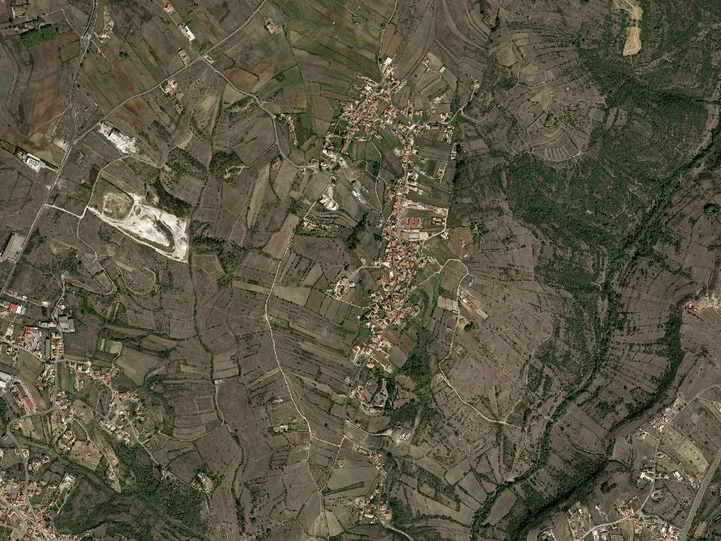
Rock-rose, cork oaks and the footpath to the sea
Within the Sintra-Cascais Natural Park, 156 m above sea level, the scrub is left to its own devices. Wild boar print muddy deltas across the sand roads at dawn; genets leave comma-shaped scat on the picnic tables. Follow the way-marked Trilho de Terrugem and you drop to Magoito beach in 7 km, passing fossil-rich cliffs at São Julião where ammonites the size of dinner plates glint in the schist. Yellow arrows confirm you are on the coastal variant of the Camino de Santiago; the only refuel stop is a farm-gate honesty box selling chilled white from the barrel.
A parish that measures time in seasons
Population 8,996, density a gentle 215 per km² – too spread-out to feel busy, too lived-in to qualify as remote. Twenty-two self-catering houses and one small guest-suite collective are aimed at slow travellers: writers who stay for the pear harvest, surfers avoiding Ericeira’s weekend crush. Ageing is tangible: 2,000 residents are over 65, only 1,300 under 25. Chat in the square after Mass drifts from rainfall forecasts to EU subsidy forms; someone is always reading A Bola in the sun while the church bell strikes the half hour.
What lingers
By late afternoon the olive terraces turn silver-green, each leaf flicking like a tiny mirror. Somewhere beyond the ridge the Atlantic hammers São Julião’s cliffs, but the sound arrives only as a faint, metallic hiss, here and gone again. It is the same with Terrugem itself – a place sensed more than announced, where the scent of rock-rose at dusk settles on your clothes and, days later, reappears unbidden in a London café, proof you were briefly breathing farmland rather than time.