Full article about União das freguesias de Alverca do Ribatejo e Sobralinho
Sobralinho’s cork-oak lanes, Manueline pillory and vanished council echo below Europe’s second-large
Hide article Read full article
Alverca & Sobralinho: where the Tagus exhales between bells and marshland
The sound arrives first. A low, metallic swell rolls across the rooftops and slips through the damp Ribatejo morning. It isn’t a parish-church toll but the second-largest carillon in Europe—sixty-three bronze bells housed in the Igreja dos Pastorinhos—sending a sonic calling card down the slope toward the river. Stand on the ridge-road that enters Alverca from the north and the vibration reaches the sternum before the eyes focus on tile-clad façades or the glint of the Tagus: an acoustic overture no other town in Portugal can reproduce.
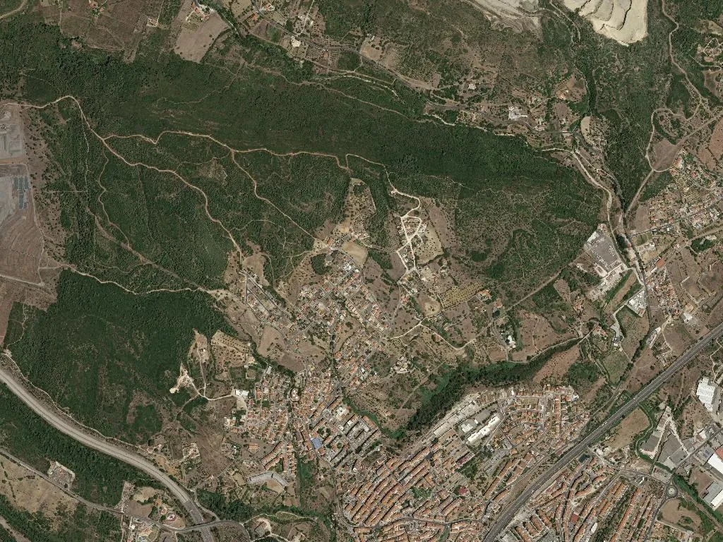
Alverca do Ribatejo e Sobralinho, fused into a single parish in 2013, has 36,465 residents—more than the municipal seat at Vila Franca de Xira itself—yet it still answers to someone else’s town hall. That slight administrative absurdity suits the place: the community earned city status in 1990, the first Portuguese settlement to do so without ever having been a county capital. Identity here was forged by daily density, not by decree.
Stone, charter and a vanished council
Documents mention Alverca in the 11th century; by the fifteenth it had received three royal charters (1357, 1434, 1439) and governed a territory that included Sobralinho and Santa Iria de Azóia. The 1855 municipal reforms erased the council, but the Manueline pillory survives in Largo João Mantas, its late-Gothic tracery warm to the touch on summer mornings when the stone stores the sun. A few streets away, the parish church of São Pedro anchors the old quarter; climb toward Sobralinho (“below the cork-oak wood”) and the 1997 town hall presides with the self-conscious composure of a late-blooming borough. Between vegetable plots and modern cul-de-sacs you can still trace fragments of the Lines of Torres Vedras—redoubts and earthworks that once stalled Napoleon and are now quietly absorbed by cork and olive.
Runways and radial engines
Alverca’s aviation story is concrete, not metaphorical. A military airfield opened in 1918; today the Museu do Ar occupies one of the original hangars, its hangar doors framing Bristol Blenheims, Tiger Moths and a Dornier Wal like mechanical saints in a nave. The scent of castor oil and duralumin lingers in the back galleries, a reminder that this was Portugal’s first international airport until Lisbon-Portela replaced it in 1942. OGMA, the national aerospace plant next door, still bends aluminium for Airbus and Embraer, keeping the skyline punctuated by test aircraft that bank over the lezíria at dusk.
Rice that tastes of river
The Tagus floodplain dictates the plate. Carolino rice, the only Portuguese variety with Protected Geographical Indication, absorbs stock like blotting paper—essential for duck rice, lamb stew and the fish soups that benefit from river-fresh eels and sea bass delivered each dawn. Pair them with a mineral white from the Lisboa wine zone that laps against the parish boundary, or, in season, a Rocha pear whose grainy flesh offers a crisp counterpoint to slow-cooked meat.
Wings over the estuary
East of the last traffic light the urban grid simply stops. Within a stride, concrete gives way to saline scrub and the estuarine mirror of the Tagus. The Reserva Natural do Estuário do Tejo is one of Europe’s key wetlands: autumn and spring turn the sky into an avian transit lounge—flamingos sift the flats, godwits and black-tailed godwits refuel on their marathon between Arctic Canada and Guinea-Bissau. A way-marked footpath hugs the inner dike; walk it at low tide and the air smells of saltwort and iodine, the soundtrack the short, blunt slap of wind-driven waves. Unknowingly you are following the Caminho Interior da Via Lusitana, a Portuguese spur of the Santiago network that uses the Tagus as its compass north.
Refusing the dormitory label
Commuter trains reach Lisbon in twenty-five minutes, and 1,524 people squeeze into each square kilometre. Nineteen informal bairros are still being regularised; estate agents speak of “lung city” advantages. Yet Alverca and Sobralinho decline to behave like mere suburbs. Parish museums keep eccentric hours, cork oaks survive between vegetable plots, and on summer evenings families colonise the Jardim Álvaro Vidal to watch the river widen into a silver wedge. When the light cools, the carillon sounds again—slower now, as if bronze itself were dimming—and sixty-three bells hold their low conversation with the estuary. No other parish in Portugal can quite translate that sentence of sound.