Full article about Tagus Delta Rice & Flamingo Skies: Castanheira-Cachoeiras
Castanheira do Ribatejo and Cachoeiras shimmer with mirror-bright paddies, tidal channels and winter
Hide article Read full article
The Azambuja train eases off the throttle and the colour outside liquefies. Not the dark malachite of inland hills, nor the bottle-black of coastal pines – this is a thin, shifting green that behaves like water, rippling across paddies that mirror the sky. Castanheira do Ribatejo’s platform is barely a lip of concrete; the doors sigh open to air so saturated it smells almost boiled – wet straw, warm mud, the vegetal exhale of the lezíria in full production. We are 29.7 m above sea level and the horizon has no interruption; sky accounts for more than half the field of vision.
A Parish That Forgot to Shrink
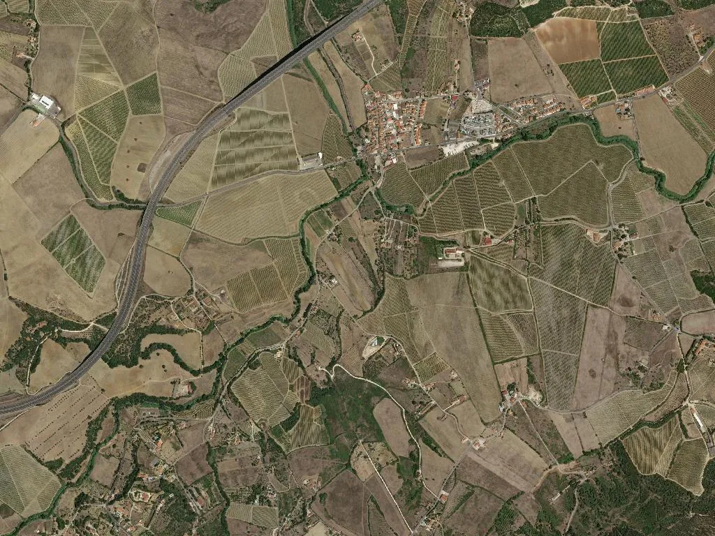
In 2013 the civil parishes of Castanheira and Cachoeiras were stitched together into a single administrative rectangle of 27 km². Eight thousand people live here, stretched between a village centre only elevated to “town” in 1985 and a lattice of irrigation ditches that run east until the Tagus estuary swallows them. Population density is 297 souls per km² – enough to keep two cafés busy at noon, never enough to justify a second set of traffic lights.
Chestnuts That Vanished, Water That Stayed
The toponyms are botanical ghosts. Castanheira once signalled a stand of sweet chestnuts; Cachoeiras referred to a sequence of modest waterfalls that early maps insist were here. Both have gone – the trees cleared for pasture, the gradient tamed by 19th-century drainage – yet water remains the organising genius of the place. Channels feed the Carolino rice paddies registered under the European IGP; seasonal ponds flare pink with flamingos in winter; the estuary itself pushes tide lines six kilometres inland at spring high.
Before Liberal reforms stripped it of status, Castanheira was a municipal seat with its own coat of arms and a pillory that stood where Largo 5 de Outubro now opens. Five buildings are still listed by the heritage agency – a Manueline window here, a Baroque chapel there – fragments of a past when this was not a dormitory for Lisbon but a convergence point on the right bank of the Tagus.
Rice With Its Feet in the River
The Carolino variety demands immersion. From April the fields are deliberately flooded to a depth of ten centimetres; by June the crop has grown into a luminous green carpet that sways in unison when the Atlantic breeze climbs the estuary. Harvesters appear in late September, cutting stalks still wet so the grain retains the milky moisture that gives the rice its signature creaminess. Local cooks swear the absorbed stock in a caldeirada tastes faintly of salt marsh precisely because the plant has spent six months drinking brackish water.
Pêra Rocha pears, more commonly associated with the Oeste orchards north of Lisbon, have discovered a second home along the alluvial soils; vineyards registered to the Lisboa wine region complete a culinary triangulation that starts and ends with the river.
Wings Over the Marsh
The Tagus estuary is Europe’s largest wetland after the Danube delta. From the station it is a 25-minute walk along the flood-dike to the first observation blind; bring a scope and you can clock black-tailed godwit, glossy ibis and the occasional Eurasian bittern against a soundtrack of reed warblers. Flamingos arrive from November to March, feeding head-down in water so shallow their ankles protrude like pink parentheses. On windless winter evenings the copper light turns the flats into a mirror and every bird becomes a silhouette of jet on bronze – a live calligraphy that vanishes when the sun drops behind the Alverca power station.
Pilgrims on the Flat Track
The Interior Portuguese route of the Camino de Santiago cuts straight across the parish – 11 km of dead-level agricultural road with zero shade and a lateral wind that sandpapers your cheek. Way-marking is discreet: a yellow arrow on a electricity pole, a tile with the scallop shell outside the parish church. Accommodation is equally pared-back – seven licensed beds between two converted farmhouses and a spare room above the Pastelaria Central. Yet the absence of gradients allows for a meditative cadence; the only climb is the flight of steps into the 16th-century Igreja Matriz where a single pilgrim stamp waits on the counter next to the votive candles.
When the Water Pauses
Dusk is the moment the lezíria reveals its acoustic minimum. Tractors have stopped, the Azambuja commuter has rumbled north, even the glossy ibis have ceased their croaking. Stand between the paddies and you will hear what the parish is actually built on: water slipping through sluice gates at the rate of a resting heartbeat, a low metallic murmur that continues after darkness seals the horizon. No chestnut canopy, no romantic cascade – only the river’s pulse and the crop that keeps its feet permanently in it.