Full article about Caia, São Pedro e Alcáçova
Walk star-shaped ramparts at 260 m, feel frontier heat, taste damson dusk inside Portugal’s mighties
Hide article Read full article
Where Lime and Gunpowder Wrote the Same Story
The first sound is not traffic, nor even a human voice. It is the wind—dry, furnace-hot in the long Alentejo summer, scouring the stone ramparts as though probing for fresh weakness. Round a bastion the walled quarter tightens into whitewashed lanes so narrow the silence seems painted on, layer after layer, century after century, like successive coats of limewash reinforcing a breastplate. You are inside Caia, São Pedro e Alcáçova, the fortified kernel of Elvas, the garrison-town that UNESCO added to the World Heritage list in 2012 for having “the best surviving example of the Dutch school of fortification anywhere in the world”.
At 260 m above sea-level the Alentejo light does not merely illuminate; it cross-examines. Every crack in the plaster, every lichen blotch on the ashlar, every shadow cast by a machicolation stands out with surgical clarity at noon. At dusk the same light changes its plea: ochre first, then the colour of a ripe damson, and the walls that looked severe all day suddenly appear almost supple, as if the stone itself were exhaling.
A Border Written into the Name
Founded in the early 1500s, the parish carries the frontier in its DNA. “Caia” may derive from the Latin Caius, hinting at some long-settled Roman family, yet the word is inseparable from the river that slides past four kilometres away, the ink-line on the map where Portugal ended and Spain began. That condition was never an accident of geography; it was a vocation. Elvas became the most sophisticated fortress on the Iberian Peninsula, and its nineteen classified monuments—thirteen of municipal importance, four national—are receipts for centuries of military investment.
Fort Santa Luzia, thrust out on a southern hill, is the most eloquent receipt of all. Seen from the air its star-shaped trace reveals the obsessive geometry of early-modern military engineers. At ground level the sensation is more intimate: the gravitational pull of granite, the chill of the stone even in July, the way a whisper in the access corridor multiplies and distorts like gossip. You do not simply visit it; you briefly garrison it.
Stone, Lime and Faith
Inside the grid, the parish church of São Pedro provides counterpoint to all that artillery logic. Where the ramparts speak of strategy and fear, this 1570s temple speaks of recurrence—baptisms, marriages, funerals that drummed the local rhythm for four and a half centuries. The tiny chapel of São Brás materialises round a corner like an after-thought, as so much in Elvas does: the city unwraps itself in layers, never in a single glance.
To walk the Alcáçova quarter is to climb—literally. The topography shoves you upward to the castle keep, the highest point for miles. Facades narrow, windows shrink to loopholes, corners admit two bodies at most. The paving slabs are uneven, polished by use; when the rare but violent rains arrive, water races down the sloped lanes in thin silver threads, carrying away weeks of dust.
What the Soil Tastes of
If the architecture tells the story of war, the food tells the story of the intervals between wars. The Ameixa d’Elvas DOP—an emerald greengage slowly candied in sugar syrup until it becomes a glassy, dense jewel—needs three days of gentle simmering and a week of rest. The flavour is almost shocking: honeyed at first, then a green, vegetal note that lingers like a question you cannot quite phrase.
Beyond the walls, olive groves roll away in disciplined rows, supplying the peppery Norte Alentejano DOP oil and the plump, meaty table olives of Elvas & Campo Maior DOP. Add a wedge of Mestiço de Tolosa IGP, a semi-soft sheep-and-goat cheese, and a glass of red from vines that share soil with cork oak and centuries-old olive trees, and you have lunch without a single redundant ingredient.
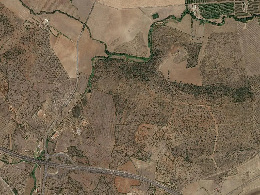
Ten Thousand Hectares Between Wall and River
Outside the bastions the parish stretches across more than 100 km² of classic Alentejan landscape—open cork woodland, regimented olives, low head-trained vines. Population density hovers at 51 inhabitants per km²; once the last house is behind you the horizon unclips and human presence dissolves into dry-stone walls, ochre tracks and the cicada roar of high summer. Wine tourism here is not about subterranean cellars and formal tastings; it is about sun on the nape of your neck, red earth sticking to your soles, the possibility of squeezing a berry between finger and thumb before sampling the finished wine.
The 5 376 residents recorded in 2021 are split into 839 under-18s and 1 226 over-65s—a ratio that explains the pace better than any brochure. Forty accommodation units—apartments, small guest-houses, one or two manor houses—are enough for travellers who arrive intending to linger: to walk the walls at dawn, to watch the sun smoulder into Spain from the castle roof-terrace, to let the night wind off the Caia river scrub the city’s limestone clean.
The Last Bastion Before the Plain
There is a moment, just before the light goes, when you stand on the Alcáçova ridge and look east. The plain unfurls, unbroken, to the faint seam where Europe’s second-oldest national border still runs. The air carries the smell of dry earth laced with wild thyme or perhaps rosemary—nobody ever agrees. Then you understand: those walls were never raised to protect buildings; they were raised to protect this exact vantage point, this clarity that altitude and geography confer. Whoever commands this view commands the frontier. That is the weight you feel descending the worn centre of each stone step—centuries of boots, sandals, trainers—and the weight you carry away when you leave.