Full article about Abragão: Dawn above Porto’s granite vineyard terraces
Loureiro vines, 17th-century pick-marks and fermenting air at 214 m in Penafiel
Hide article Read full article
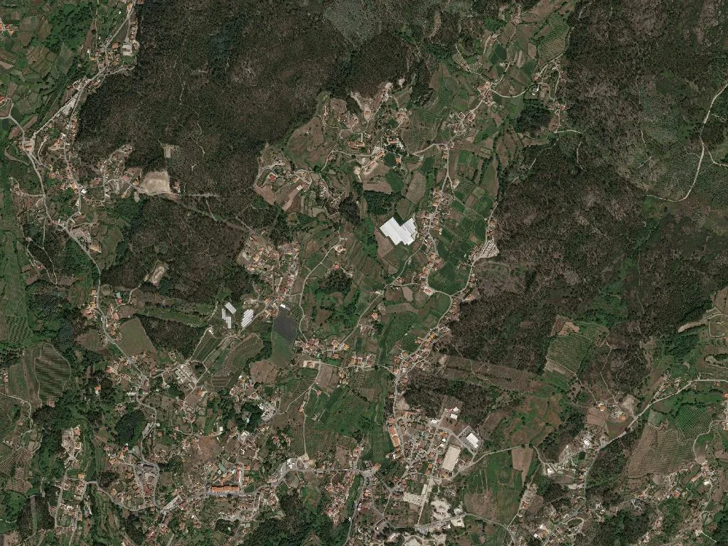
The granite setts are still dew-cooled when the church bell strikes six. Abragão wakes reluctantly, at the pace of people who can drive the lane to the Sousa valley in the dark without touching the brake. September light skims the stone walls and turns them the colour of heather honey, stretching shadows across the baked-clay paths that thread between plots of Loureiro vines.
At 214 m above sea-level—high enough for Atlantic air to sharpen the grapes’ acidity but low enough for olive trees to survive—the parish covers 953 hectares of Penafiel municipality. Only 2,311 inhabitants remain, a figure that has barely shifted since the 1980s because young Porto graduates move back only when the mortgage maths makes sense.
Granite and green wine
Dry-stone walls draw a geometry older than the Carta de Foral. Every terrace is shoulder-wide, trained on high pergolas so pickers can walk upright. The stone itself was split on site: you can still see pick-marks on door jambs, on the 17th-century pillory, on the trough where rain water mirrors the sky. Between August and October the air is thick with fermentation—grape must, turned earth and the first wood-smoke from kitchens that never gave up on open hearths. White Vinho Verde here is bottled at 11.5 %, bright enough to slice through salt-cod baked with cornbread, or late-summer sardines still carrying the scent of pine-needle grill smoke.
Generations in balance
Census takers record 360 children under 14 and 422 residents over 65; the parish council keeps the primary school open by busing in pupils from two neighbouring villages. Weekday momentum gathers at the pastelaria opposite the town hall: espresso cups clink while men in flat caps dispute whether the coming week will bring the “águas de São Miguel” rain that complicates the harvest. By late afternoon the playground dust is rising, and grandmothers return from the allotment gardens with kale stalks sticking out of wicker baskets like oversized green feathers.
Only one building carries the blue-and-white National Monument plaque, but the vernacular architecture is the real open-air archive. You’ll pass corn granits mounted on mushroom-shaped staddle stones, communal bread ovens the size of a Citroën Berlingo, and tiny family chapels whose 19th-century frescoes have faded to watercolour ghosts. Each solved a pragmatic problem: keep maize dry, bake for saints’ days, pray without walking two kilometres to the mother church.
Walking without waymarks
Rural paths dip and climb no more than 80 m—comfortable for anyone wearing trail shoes they don’t mind scuffing. Oak and chestnut shade the route to the Ribeira do Conde; in September the water is ankle-deep, yet winter spates can be heard long before they appear. There are no ticket booths, no interpretation panels, just the logic of a landscape designed on foot. Carry a crust—farm dogs negotiate friendship treaties with anyone who smells of chorizo.
What arrives on the table
Expect the cooking of Portugal’s coastal north: caldo verde sharpened by smoked chouriço, pork rojões punched into roast potatoes, bacalhão à lagareiro drowned in early-harvest Douro olive oil. Feast days bring veal roasted in a wood-fired bread oven, its juices soaking into oven-baked rice tinted orange by saffron from the Beira. Ask politely and someone will fish out a bottle of red Vinho Verde—made from Amaral and Espadeiro, chilled just enough to keep the tannins polite.
When the sun slips behind the western ridge, granite façades shift through ochre to charcoal. A gate drags across stone, a dog barks half-heartedly, and the smell of burnt oak, damp soil and crushed grapes settles over the lane. The sensory inventory makes sense only here, at this precise altitude, on this particular fold of hillside between the Tâmega and the Douro.