Full article about Olival: Where the Douro Still Runs Through Stone
River-soaked hamlets, olive terraces and a working water-mill reveal Olival’s living past.
Hide article Read full article
The shale sings underfoot
Each footstep on the staircase scuffs a different note from the stone, a scale worn smooth by centuries of fishermen, women balancing water jugs on their heads and pilgrims picking their way down to the Douro. At the quay of Arnelas the river’s breath mingles with woodsmoke drifting from a kitchen where eels are hissing in a pan. Water slaps, lazy and deliberate, against the hulls of tethered boats, the rhythm echoing up the lanes to the crest of the hill where ancient olive terraces gave the parish its name.
Olival is what remains of a time when the river was the only road. Long before Portugal existed, charters spoke of Villa Gondozendi and the locus de Arnelas, settlements that faced the Douro the way others face a motorway. For centuries the little port served as a staging post for barrels of wine and passengers heading between Porto and the upper Douro; today the memory is written into the slate cottages that grip the slope, their rooflines dropping almost to the water’s edge, the vegetable and vine plots still stitched into the terraces. Ethnologists call Arnelas “the most characteristic village in Vila Nova de Gaia”, and a single walk from the church square to the river shows why: every stone, every lopsided step, every retaining wall seems to have sprouted from the ground itself.
Water that still works
A few kilometres upstream, at Chão do Moinho, the water-mill still turns. The creak of the noria, the wooden shaft beating time against the millstone, the cold damp breath of the levada – all of it runs as it did two hundred years ago. The Rio e Moinho trail stitches the two hamlets together in four kilometres of footpaths that cross streams, oak scrub and sudden clearings where the sun strikes the shale like a blade. Olival offers no postcard viewpoints; instead it deals in texture – moss cushioning the stones, the black earth of the terraces, the bottle-green of riparian undergrowth.
The parish church of Nossa Senhora da Assunção stands at the village centre, its baroque altarpiece and eighteenth-century images the residue of generations of devotion. Faith finds its volume during the romaria of São Gonçalo and São Cristóvão on the first Sunday in August, when pilgrims from both banks of the Douro ferry across for a procession that seems to erase the boundary between water and land. September’s candlelit Festas de Nossa Senhora da Saúde turn the churchyard into an open-air ballroom, while June fires of São Pedro light up the night with sung mass and dancing on the warm granite steps. In winter the Cantares dos Reis still go door to door on Twelfth-Night eve, voices asking and blessing in equal measure.
Eels, boats and a Premier-League training ground
At table Olival tastes of its geography. Douro eels, either flash-fried or stewed, carry the river in every flake; Arnelas-style pork shoulder, rubbed with sweet paprika and served with “punched” roast potatoes, recalls winter matanças when whole households gathered to preserve the meat. The blood-rich sarrabulho rice is dark, dense, almost pre-Christian. Dessert brings fatias de Arnelas – rolled egg-yolk sheets – and São Gonçalo biscuits, both dunked in vinho verde served in clay bowls, the way grandmothers measure time.
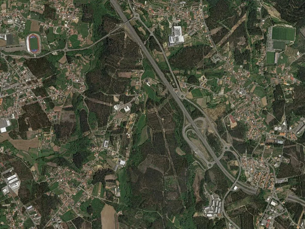
Yet the parish harbours a startlingly modern appendix: the PortoGaia Training Centre, universally known as “Olival”, has become shorthand for elite sport. Opened in 2002, its manicured pitches host FC Porto’s daily sessions and the occasional senior fixture. When the team bus noses down the single-track lane, walkers bound for the quay pause mid-stride, unsure which spectacle is more unlikely: million-euro athletes or a village that appears to have misplaced the twentieth century.
From the river-beach at Arnelas the Douro mirrors the late-afternoon sky; canoes from the local club slip past in silence. Up at the Monte do Olival viewpoint someone is waiting for the sun to slip behind the Marão ridge. Below, the stone pier endures, mute witness to everything the river has brought and taken away. Woodsmoke still hangs in the air, laced with the cool scent of moving water. That is the fragrance that lingers after the ferry has left: shale and fire, river and life that refuses to stand still.