Full article about União das freguesias de Aldeia do Mato e Souto
Aldeia do Mato e Souto pairs a crystal-clear Zêzere lake beach with chestnut-scented trails and empty schist cottages just 1 hr from Lisbon.
Hide article Read full article
Two villages, one reservoir
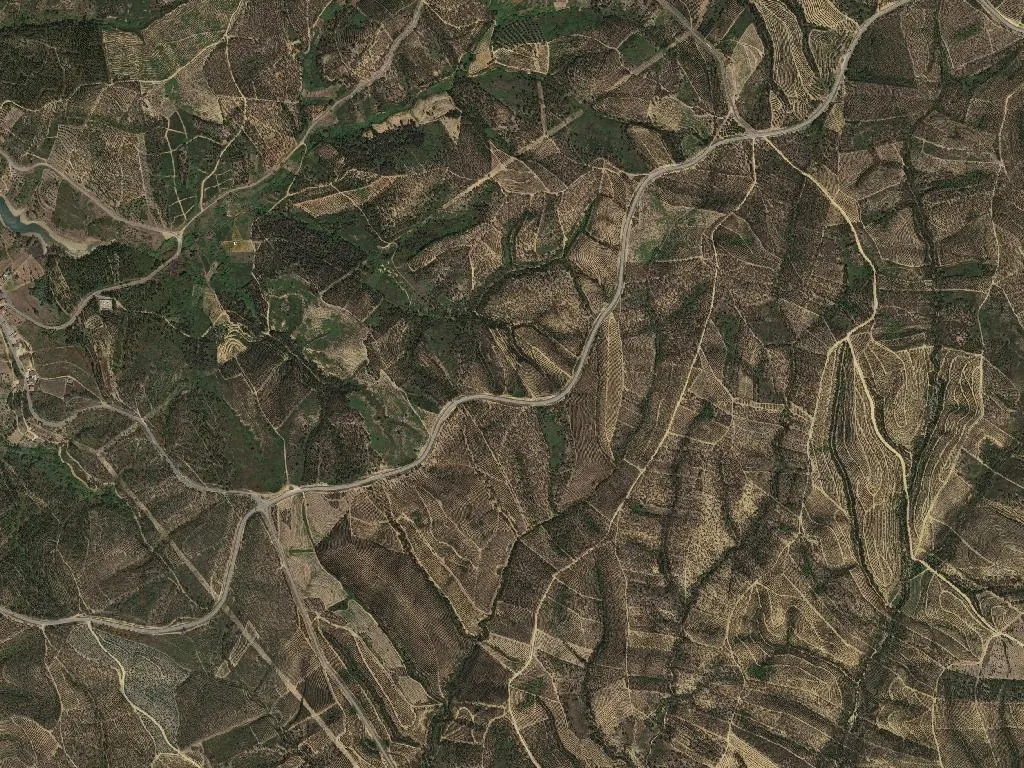
Morning light ricochets across Castelo de Bode lake as if someone is flicking coins into a wishing well. At Aldeia do Mato’s river beach the Zêzere is still winter-cold; the first swim is less recreation than existential audit. Silence is broken only by a distant kayak and a heron that looks like it has overslept. At 233 m above sea-level the reservoir lies folded between olive groves and chestnut terraces, an artificial sheet of water that has earned the right to call itself a landscape.
The anatomy of a forced marriage
The civil parish of Aldeia do Mato e Souto was created in the 2013 austerity shake-up, but the two settlements have been gossiping across the valley for centuries. One took its name from the scrubland (mato), the other from the chestnut woods (souto). Walk the old footpath that links them and you can still smell the sequence: damp leaf-litter and roasted chestnuts on the northern slope, sun-baked olive foliage further south, then the sudden lake-cooled air rising like a draught from an ice-house.
Cabeça Gorda, Rachão da Bruada, Carreira do Mato – place-names that sound as if they were coined by farmers during a thunderstorm in the village bar. Schist cottages buttress themselves into the slope; a few still have stone threshing floors where corn is beaten exactly as it was in the days of the first electric radio. Spread across 44 km² are 676 permanent residents: enough space to breathe, shout, or lose the sound of your own voice entirely.
A Blue Flag that forgot the sea
Since 2011 the modest curve of sand at Aldeia do Mato has flown the Blue Flag – a rarity this far inland. The water is gin-clear, the kind of clarity politicians promise before an election and never deliver. At the seasonal kiosk Nuno pulls fino beers for €1.20 and keeps a stack of toasted ham-and-cheese sandwiches for swimmers who exit the lake ravenous. Outside August the beach belongs to the postcode: children bombing off the pontoon, dogs wetter than dry, grandfathers in straw trilbies watching their grandchildren the way vintners watch a temperamental vine.
The dam created coves where there used to be only boulders. Now herons stand like white traffic cones and cormorants hold their wings out to dry with the solemnity of civil servants filing returns. Bird-watching here feels like ballet performed in a barn: every gesture precise, slightly comic.
Olive oil, red wine and a demographic seesaw
Centenary olive trees climb the hillsides in giant staircases. They have survived bishops, droughts and the 1960s exodus; today they produce DOP oil with a peppery catch that makes the back of the throat tingle. Where tractors cannot squeeze, the fruit is still hand-raked onto nets spread beneath the canopy. In backyard vineyards the locals grow tinta for their own cellars – ink-dark reds that stain the glass and warm the incisors.
The demographic ledger is brutal: 310 residents over 65, only 41 under 19. Yet the parish now counts 26 tourist lodgings – proof that someone is betting on the future. Newcomers arrive from Porto, Lisbon, even Ghent, swapping sirens for cicadas and trading deadline anxiety for the slower task of watching light move across water.
Dusk folds the lake into pewter. Zé’s kayak scrapes the sand like a tired cat coming home. The beach still holds the day’s heat, laced with pine resin and that indefinable scent of fresh water meeting granite. Someone slides the kiosk’s metal shutter shut; the clang travels across the water like a clear “see you tomorrow” called into the dark. The day ends when the light declares it over, not when a phone screen lights up.