Full article about Mouriscas: Olive-Gold Valley Above the Tejo
Schist terraces, 13th-century olives and Moorish strip fields scent the air in Abrantes’ hill parish
Hide article Read full article
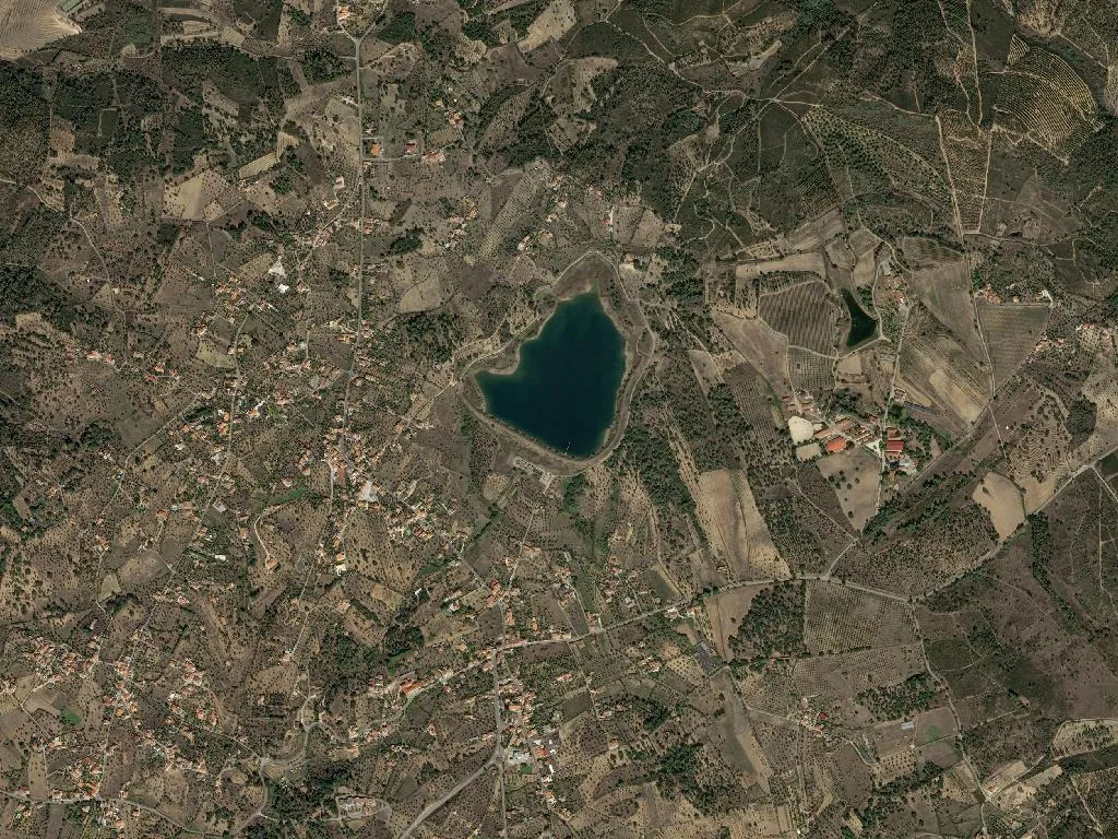
Golden oil at 189 metres
Golden-threaded olive oil slips across the glazed plate, thick as double cream and as aromatic as a summer tomato. The first bite of country bread carries the faint, peppery bite of November-harvested ‘Galega’ olives. Through the open window comes the smell of the Tejo, still an estuary here, pushing brackish air up the valley. At 189 m above sea level the view is a ruled grid of olive lines, interrupted only by the darker green of citrus orchards and the chestnut colour of schist-and-sand soil. Mouriscas keeps time with the land: slow, seasonal, unchanged since the charter of 1285.
Moorish memory in the valley
The parish name is a linguistic fossil. After Abrantes fell to the Christians in 1148, a community of mouriscos—baptised Moors—remained in the valley, and their memory survives in the word Mouriscas. Strip fields laid out across the hillside still follow the medieval arteigado pattern imported from al-Andalus. New landlords arrived—the Order of Santiago, the canons of São Vicente in Lisbon, the dukes of Abrantes—but the valley never abandoned the plough. Wheat and rye grew here until Duarte Pacheco’s agrarian reforms of the 1930s; vines until phylloxera crossed the border in the 1870s; and, above all, olives, which found their perfect marriage of xistos bedrock and Mediterranean temperature swing.
The parish church stands square in the settlement, a rural Baroque retouch of a 1320 chapel. Inside, gilded woodcarving paid for by the Tejo stevedores’ guild in 1723 glints above a Manueline triumphal arch and a side-door tympanum both carved from Alvega limestone. Whitewash throws the July sunlight back across the square; the interior invites a hush. A five-minute walk away, the tiny 1576 chapel of São Sebastião was vowed during the bubonic plague; Mass is still said there every 20 January.
Solstice fire
On 24 June the sun pauses at its northernmost limit and Mouriscas remembers its patron. After the procession of St John the Baptist, the night air turns silver with sardine smoke and the crackle of bonfires. For once the arithmetic—42 inhabitants per km²—feels wrong. Older residents recall when the feast lasted three days and wagons came in from Vale do Grou, Vale do Corvo and Barroca across dirt tracks. Smaller markers punctuate the year—Christmas, Easter, the blessing of seed on the first Sunday in March—but faith is more often expressed in the privacy of field chapels: Nossa Senhora da Piedade (1684) tucked into Vale do Grou, or São Pedro (1732) on the ridge at Barroca.
Taste of terroir
Lamb stew murmurs on a low flame, its scent of garlic and anise drifting into the lane. At table, cozido à portuguesa competes with tomato-slick rice and baldroegas soup made from the fleshy leaves that volunteer between cereal rows. Festival days bring pão de ló from Tita Guida, egg-yolk spirals from Dona Amélia, cinnamon biscuits from the village bakery, all washed with Tejo wines—white ‘Fernão Pires’ in summer, red ‘Trincadeira’ when the nights turn. Yet it is the olive oil that steals the show: DOP Azeites do Ribatejo, cold-pressed in working stone mills at Vale do Grou and Vale do Corvo, acidity ≤ 0.3 %, fruit on the nose. In farm kitchens the same crop is decanted into 200-litre clay talhas that keep the harvest intact for the year.
River tracks
Old corredores—paths used to reach the Tejo ferry—snake between centenarian olives and orange groves, sloping gently towards the water. The gradient is forgiving; the only labour is slowing down to watch the birds. Grey herons, mallards and cormorants dive for catfish and bass where no nature reserve has ever been declared. Value lies in the continuity of husbandry: hand-scything, threshing floors, communal grape-treading in stone lagares. The estuarine micro-climate irons out extremes—down to –2 °C in January, up to 38 °C in August—leaving winters mild and summers breathable.
Late afternoon, when low light turns the olive canopy pewter, silence is broken only by wind in the leaves and the distant bell of São João. A spoonful of new oil, taken straight from the granite mill, leaves an acrid, peppery trace on the tongue—a taste that lingers long after the road has curved back towards Abrantes.