Full article about Benfica do Ribatejo’s endless flat horizon
Clay-pot stews, Manueline doorways and Tagus breezes on Ribatejo’s flood-plain
Hide article Read full article
A horizon that never climbs
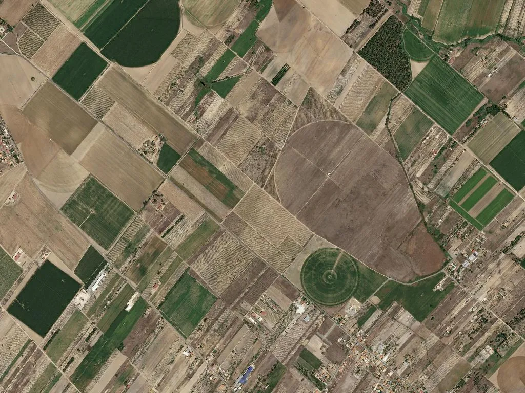
The land lies so flat that the eye begins to doubt its own accuracy. Only the thin filet-fences of eucalyptus remind you where one farm stops and the next begins; otherwise Benfica do Ribatejo is an exercise in horizontality, 24 m above sea level yet feeling nearer to the sky than to any hill. Wind arrives unhindered from the Tagus, carrying the smell of churned clay and the sweet dust of threshing floors. The river itself is invisible, hidden behind two kilometres of alluvial vegetable plots, but its presence governs every furrow: this is the lezíria, the flood-plain that Arabs long ago labelled Ben Fica – “well-placed son”.
An Arabic name that survived the Reconquest
That 11th-century coinage stuck. After Dom Afonso Henriques’ knights pushed the frontier south, the place slipped quietly into the parish rolls of Almeirim, acquiring a stone church nobody now dates with certainty and a grid of lanes wide enough for ox-carts but not for doubt. The only listed building – a modest Manueline doorway with a half-erased coat of arms – stands locked most of the year; scaffolding goes up, then comes down again, and the stones keep their secrets. What is certain is the pattern of life the Moors noticed: wheat and vines on the higher ground, sheep on the marshy flats, fish traps in the seasonal channels.
Clay-pots and Indicação Geográfica
Benfica eats what the lezíria yields. At weekend lunches the clay pot appears, lid sealed with dough, and inside it Caralhotas de Almeirim: shin of Alentejana DOP beef braised for four hours in Tejo wine, paprika and plenty of cracked black pepper. Bread is obligatory – the sauce demands it – and so is a glass of the local red, bottled just down the road in Adega Cooperativa de Almeirim. No estate gates, no tasting fees: the vineyards run straight into the cereal fields, and if you ask nicely at the cellar door they’ll rinse out an empty olive-oil bottle and fill it for three euros.
Demographics in real time
The census printer spits out the bald figures: 2,795 inhabitants, 864 of them over 65, 321 under 24. Yet numbers miss the soundtrack – the clatter of a tractor at dawn, the parish loudspeaker announcing blood-pressure tests in the church hall, the hiss of irrigation sprinklers that only start after dark because electricity is cheaper then. Four small guesthouses have opened in former farmworkers’ cottages; booking is still done by WhatsApp and the Wi-Fi password is usually the house number.
Evening geometry
Sunset turns the stubble the colour of Earl Grey tea. A single trail of smoke rises vertically – someone is burning vine prunings before tomorrow’s calçada planting. Down the lane a John Deere lumbers home, headlights brushing the whitewash, tyres leaving a perfect calligraphy of dust that the wind, faithful to its brief, levels before the first porch light clicks on. Benfica offers no postcard moment, only the reassurance that the next furrow, the next clay pot, the next dawn will arrive exactly as they did when the river wrote the rules and the Arabs gave the place its name.