Full article about Vila Chã de Ourique: olive-oil mist over Tagus lezíria
Vila Chã de Ourique, Cartaxo—taste just-pressed Ribatejo olive oil, walk the Portuguese Central Way, feast on river eel and oak-fed pork.
Hide article Read full article
Golden oil, still warm, threads from the wooden press and pools on the lagar’s stone floor. November in Vila Chã de Ourique smells of crushed olives. Beyond the mill door the lezíria unfurls: stubble rice fields, graphite vines, and cork oaks scratching the low winter sky along the Serra de Ourique.
The parish measures 33 km² and is home to 2,469 people. The toponym’s Arabic root – ouriq, a sandy track – was officially bolted on in 1917 to distinguish this Vila Chã from its twin in the Algarve.
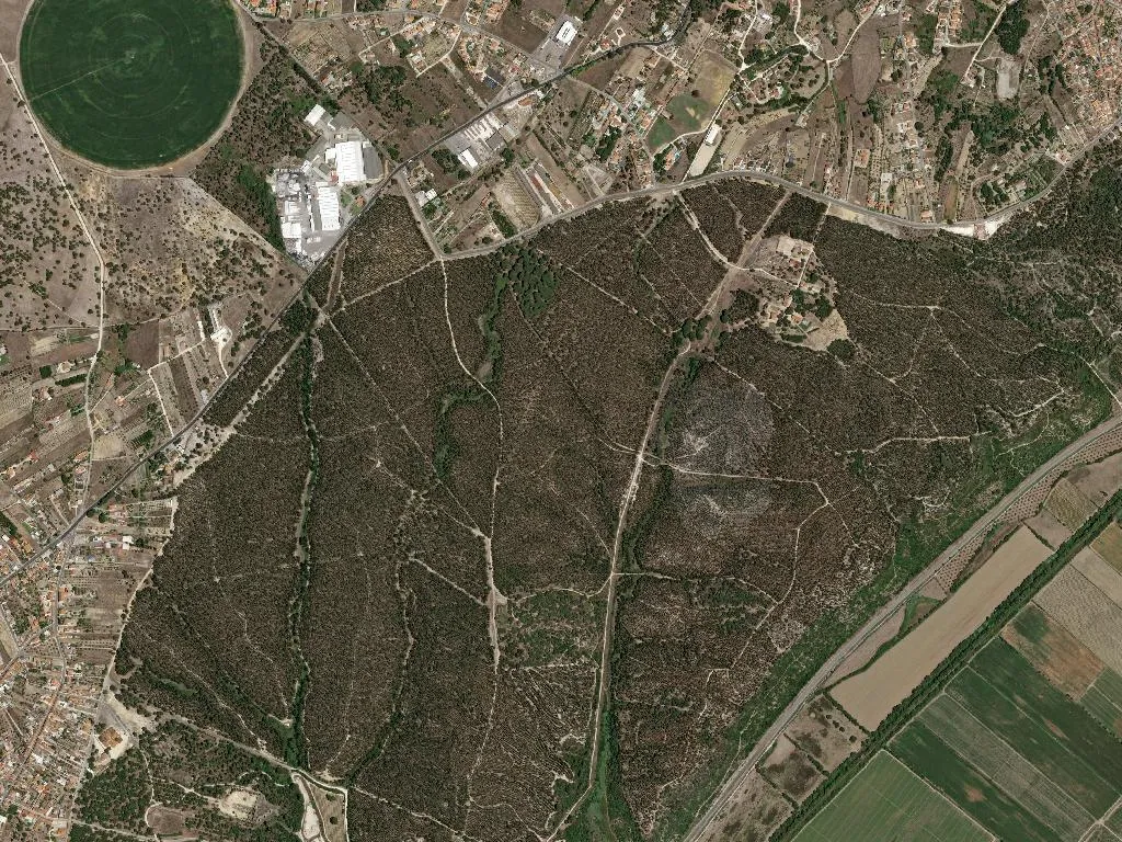
Stone and faith along the old sand road
A dirt lane between cereal plots leads to the Anta da Fonte da Pipa, a Neolithic chamber tomb classified in 1940 yet still unsignposted. Inside the 16th-century parish church, gilded acanthus twists across a baroque retable, while blue-and-white azulejos narrate the life of St Peter. Outside, a London-plane tree with a 35-metre girth shades the 1772 stone cross; both tree and cross are Listed Public Assets.
For five kilometres the Portuguese Central Way of St James cuts across the parish, skirting the whitewashed Chapel of São Brás and the crumbling river wharf where boats once left for Lisbon. Hidden in brambles are 18th-century stone markers; beside the path, shallow trenches survive from the French invasions of 1807-11.
The taste of the floodplain
Eel stew arrives clay-red, thickened with river-caught peixe-cobra and coarse cornbread. Wild asparagus migas balance their bitter edge with diced smoked pancetta. The cooking is dictated by what the Tagus and the sandstone ridge provide: rice, lamprey, oak-fed black pork, olives.
DOP-certified Ribatejo olive oil – pressed from galega and cobrançosa cultivars – is poured over fresh goat’s cheese wrapped in fig leaves. On the third weekend of November the New Olive Oil Festival opens the municipal mill for public crushings; bakers compete for the best pão chorão, a soft-crumbed loaf that weeps oil. Up on the ridge, a restored windmill now explains the cycle from blossom to bottle.
Water, rice and wings
Four kilometres of the Magos stream are navigable by kayak. In the seasonal wetlands of Paul de Vila Chã, purple herons and glossy ibis breed among bulrushes. Downstream, the Alamal river-beach flies a Blue Flag; flat-bottomed bateiras lie ready for paddling.
The 7.5 km Olive Oil Trail loops up into the Serra through rock-rose and cork oak to a mirador that lays the geometry of paddy fields over the valley floor. September’s rice harvest drafts half the parish into the paddies; volunteers are paid with sopa de cebolada, an onion broth ladled from iron pots in the field.
A centenary orchard planted in 1908 still produces the only Indian-fig crop in the Ribatejo. By August the Tagus glints like molten copper under the late-summer light.