Full article about Vale de Cavalos: where soup tastes of Roman roads
Visit Vale de Cavalos, Chamusca for Thursday onion stew, Roman Trava ruins, 1647 church and 1923 water museum
Hide article Read full article
The scent of onions on Thursday morning
The smell of slow-sautéed onion slips through the shutters and drifts down Rua dos Foros just after ten. It is Thursday, so the Chamusca book-van is already idling outside Café O Celeiro, its rear doors open like wings. Inside the kitchen next door, a clay pot is coming to the boil: home-grown runner beans, wild kid from the cork oak slopes, and yesterday’s cornbread from Ulme mill, collapsing grain by grain into the broth. Joaquim Marques, 82, is stirring the same recipe his grandmother taught twelve grandchildren. In Vale de Cavalos, soup is not a starter; it is a liquid archive, the table’s talking point, a generational relay.
Centuries underfoot
The village sits only 105 m above sea-level, yet the ground is stratified. Two millennia ago this was Trava, a Lusitanian-Roman settlement whose altar to Jupiter turned up in 1983 while Sr Domingos was deep-ploughing for barley. The present name first appears in 1554, in Chamusca’s Livro das Posturas, listing the open pastures that fattened pack-horses en route to the Lisbon quays. Earlier still, a 1379 royal charter awards the land to Constança Peres do Cazal, daughter of the king’s squire Pero Esteves; the parchment, complete with Dom Fernando I’s wax seal, still rests in Lisbon’s Torre do Tombo archive. Parish borders were redrawn in 1855 when Ulme council was extinguished and Vale de Cavalos was absorbed by Chamusca. The Church of the Divine Holy Spirit, erected in 1647 over a medieval chapel, keeps its own time: the priest’s 18th-century oak stall is initialed ‘P. A. F.’—Padre Amaro de Figueiredo—his fingernails once scoring the same letters he scratched into the varnish.
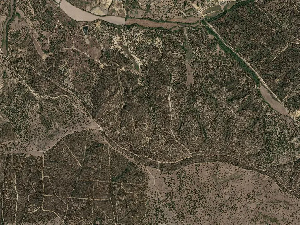
Water that had to be earned
Inside the 1952 pump-house, now the Water Museum, a black-and-white photograph shows thirty men with pickaxes opening an 800-metre stone channel in 1923. Their goal was Paul da Trava, a marshy meander where the Tagoo’s micro-climate once supplied Lisbon’s winter vegetables. Proximity to the river fogs the mornings, but it never guaranteed water; every drop was won. Place-names read like an inventory of survival: Caniceira (reed beds for basket-weaving), Perna Seca (land that cracked in August), Perna Molhada (a brook that never dries), Vale da Lama d’Atela (clay for brick-making), Sesmarias (communal medieval plots). With only 55 inhabitants per km²—double the figure usually quoted, yet still whisper-thin—the landscape exhales.
When the pot becomes a stage
On the first November weekend the village laboratory of taste swings into action. The Ribatejo Soup Festival ladled out 2,300 portions in 2023: stone soup thickened with day-old bread; Dona Emília’s 93-year-old tripe broth; Célia’s ‘three-in-one’ soup, simmering since 1978; the market gardener’s kale and bean pot; Aunt Guida’s tomato broth with poached eggs. Show-cookings lure chefs such as Ljubomir Stanisic, yet the real authority lies with the creased hands that know the exact two-tea-pinch salting ratio and can hear the moment a bean splits between the teeth. Between tastings, hikers set off on a 5.2-km loop through vineyards and century-old olives, passing the house where novelist Urbano Tavares Rodrigues was born a hundred years ago. At Zé Manel’s tavern, Carnalentejana DOP beef is slapped onto the grill and served with a glass of Tejo cooperative red—twelve euros, napkin optional.
Moving bodies, holding ground
Three open-air gyms—Vale de Cavalos, Lombo de Egua, Sesmarias—invite press-ups under holm-oak shade. Of the 814 residents, 323 are over 65, so the Senior University schedules choir practice on Thursday afternoons in the parish council’s tiled room; quavering but determined voices leak through the shutters. At 7.15 a.m. the school bus ferries twelve children to Chamusca’s middle school; it returns at 5.30 p.m. with the same faces, now dusted with chalk. Only 67 locals are under 14—tradition tugs, the horizon beckons.
Dusk stains the fields copper. Kitchen lights click on, and the perfume of onion returns—not nostalgia, but something tangible: steam clouding the windowpane, a wooden spoon scraping the same clay pot bought decades ago at Coruche fair. In Vale de Cavalos, every soup tells a story no book has managed to pin down: the gesture repeated, hunger quietened, another day finished at the table.