Full article about Erra’s Rice-Flat Dawn Chorus
Flooded Tagus paddies, Carnalentejana cattle and GPS tractors outside 16th-century pillory
Hide article Read full article
The scent of turned earth
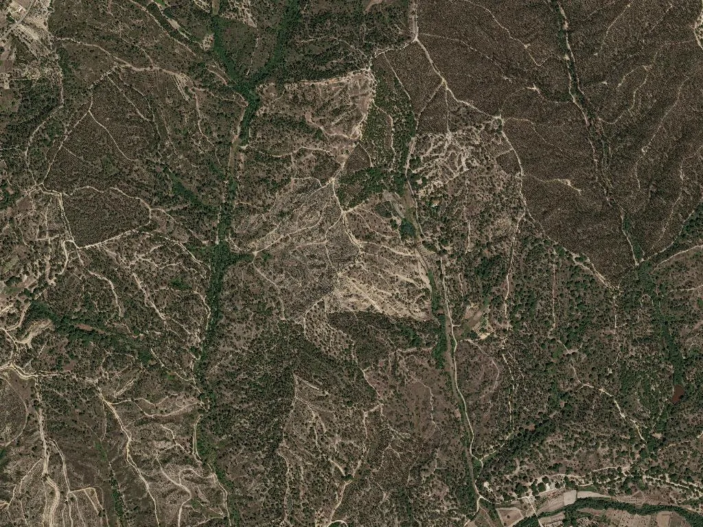
The smell of newly ploughed soil drifts through rows of eucalyptus, their scent sharpening the damp morning air. At barely 100 m above sea-level, Erra lies spread across the Tagus flood-plain, 6,300 ha of alluvium laid down by Iberia’s longest river. In April the fields behave like mirrors: shallow sheets of water reflect a sky so wide it presses the horizon flat. By late summer the same paddies glow emerald, then gold, each colour change logged by farmers who have kept seed diaries since 1926, the year Companhia das Lezírias opened its first experimental rice station here. Combine harvesters crawl through the September crop, but at dusk the soundtrack still belongs to frogs and the slow flap of grey herons lifting off the drainage ditches.
What the river grows
Carolino rice, granted IGP status in 1996, absorbs minerals brought down by winter floods. The protocol stipulates flood-irrigation, so the paddies are never truly dry; instead they phase-shift through the agricultural calendar—flooded seedbeds, knee-high stalks in flower, waist-high grain turning the colour of burnished straw. Cattle from the Carnalentejana DOP herd graze the higher ground that the engineers never dyked, their dark hides moving between cork oaks that look oddly nautical, as if planted by someone who once saw a proper montado and tried to improvise one on clay.
Population 3,471; median age 55
Census figures tell the usual Ribatejo story—too few children, too many retirees—yet the parish refuses to hollow out. Houses are freshly limed, cafés fill after the morning livestock market, and the 16th-century pillory in the main square still anchors conversation rather than memory. Erra keeps two small guesthouses: both are converted farmhouses where you wake to the smell of wet rice husks and the mechanical chirp of a distant rice-planter guiding itself by GPS. Check-out time is negotiable; the owners have fields to inspect before they can hand over the key.
Tasting the marsh
The menu is dictated by topography. Eel and sea-bass sometimes leave the estuary and swim upstream far enough to be scooped out of the irrigation channels; they end up in açorda, thickened with Carolino grains that have soaked up the broth like thousands of tiny sponges. Local beef—fore-shank, neck, the cuts that demand patience—simmers for three hours with tomato, clove and a splash of the harsh white wine made down-river at Alcácer do Sal. The only restaurant, O Barril, has operated from the same low, whitewashed building since 1987; the owner still refuses to print a menu, reciting the day’s rice and meat dishes from memory while olive oil pools on thick slices of wheat bread.
When the light drops
There is no belvedere, no interpretative centre, no souvenir stall. Instead, the visitor is given the plain itself: at seven-thirty on a late-summer evening the paddies turn into sheets of polished bronze, reflecting a sky that has spent all day absorbing heat and now releases it in slow, honeyed tones. The Tagus keeps moving, unseen behind its embankments, but its presence is unmistakable—an engine that has been turning silt into supper for as long as anyone in Erra can remember, and will continue long after the last census child has grown up and gone.