Full article about Amêndoa’s schist slopes hush the valley at dusk
387 souls, 3,700 hectares, olive oil in the pan and a church bell that counts time slowly
Hide article Read full article
Afternoon light on schist
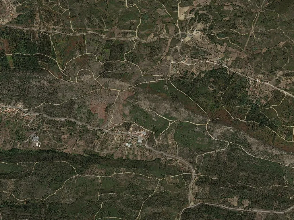
The late sun strikes the slope, warming the schist that lines the garden walls. At 456 m above sea-level, the only sounds in Amêndoa are the wind climbing the valley and the church bell that counts the hours without haste. Three hundred and eighty-seven people share 3,700 hectares; distances here are measured in minutes of footpath between neighbours, not in metres.
Arithmetic of decline
Statistics tell their own unsentimental story: 191 residents are over sixty-five, just eighteen are under fifteen. This is the demographic algebra of Portugal’s interior, where the past outweighs the future. Those who remain can trace every bend, every spring, every terrace where an olive tree still resists abandonment. The parish preserves a single classified national monument – proof of a significance that modern maps no longer record.
Olive oil, kid and the taste of two regions
Amêndoa sits in the overlap of two protected olive-oil geographies: Beira Interior and Ribatejo. Galega olives from Beira Baixa ripen in dryland groves, small and concentrated, yielding an oil with controlled acidity and herbaceous bite. Local tables carry Cabrito da Beira – kid roasted in a wood-fired oven, seasoned only with coarse salt and garlic – served with potatoes that drink the golden fat. Carnalentejana beef, raised on the surrounding meadows, completes a larder anchored to the land and policed by origin labels that enforce ancestral methods.
Three houses, three homecomings
There are three places to stay. None is a hotel; none trades in “rural experience”. They are houses returned to by owners, or inherited and saved from ruin. When Maria do Céu’s Canadian grandson said he had slept well, she reasoned that others might too. Breakfast is whatever the morning brings: village bread if it’s baking day, coffee the machine hasn’t spoiled, last year’s olives. Guests come to walk the unsurfaced tracks, explore the entrenched valleys, or simply sit on the step while the light shifts across the schist.
Night cold arrives quickly at this height. Doors close early; scattered lights prick the slope. Wood-smoke rises straight into still air, the scent of burnt oak marking the frontier between day and night in the Mação hills.