Full article about Atouguia Ribatejo: where olives outnumber people
Village mornings echo with blackbirds, tractors and the clank of the school gate on a 222 m plateau.
Hide article Read full article
Morning on the plateau
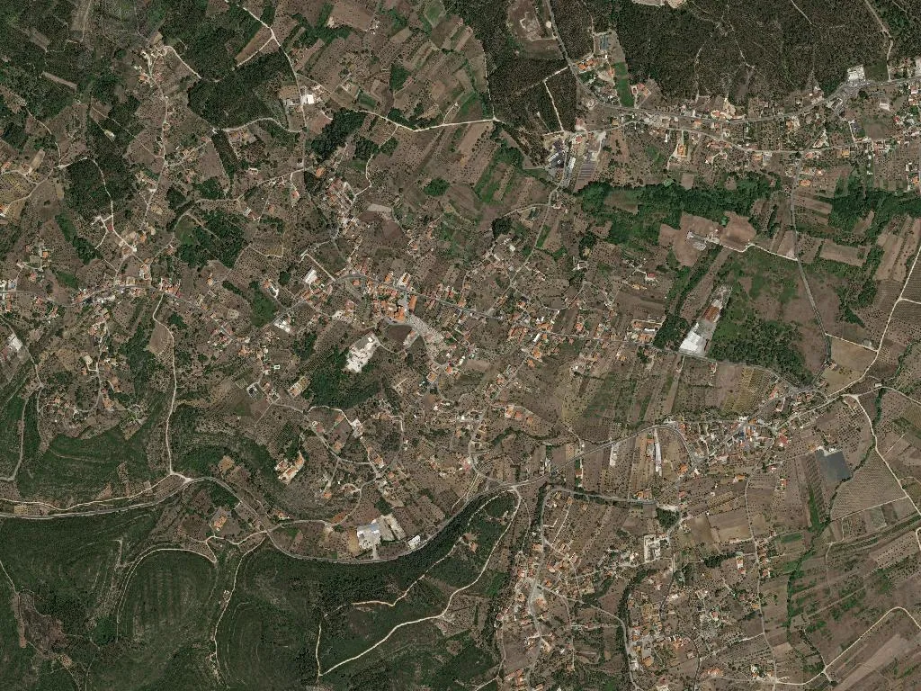
Sunlight slips through the open door of the Igreja Matriz and lays bright quadrangles across the flagstones. Beyond the porch a school gate clangs, and the baker’s van coughs into life on the chill air. Atouguia wakes reluctantly, 222 m above sea-level where the Ribatejo plateau begins its tilt towards the southern valleys.
Two thousand and eighty-seven souls occupy twenty square kilometres of olive groves and umbrella-pine forest. Between the low whitewashed houses the soundtrack is blackbirds and the occasional tractor. There are no guided tours, no gift shops—only red-earth tracks that lead straight into the orchards.
Footprints you can’t see
The village gives its name to the Parque Natural das Serras de Aire e Candeeiros, home to Europe’s longest sauropod trackway, yet the 175-million-year-old prints lie 8 km away on the flanks of the Serra de Aire. Worth the detour? Only if you have wheels and thirty minutes to spare. Admission €6; closed Mondays.
Olive oil straight from the press
Olives dominate every horizon. Atouguia sits inside the DOP Ribatejo olive-oil zone, and the Lagar de Varatojo—three kilometres short of the village—sells just-pressed oil from Monday to Friday, 9–5. Bring your own five-litre jug or buy one on site; the peppery green-fruity litre costs €7.
A pilgrim’s passing place
The eastern variant of the Caminho de Fátima skirts the settlement, though you’d barely notice. Walkers from Leiria follow the CM1137, swing left at Fonte Coberta and climb 4 km of shade-free tarmac to the chapel of São Pedro. The only refuelling stop before Ourém is a roundabout café whose lights come on at 7 a.m.
Closed, open, closing
The butcher, stationer and village bar have all shuttered. Newly arrived: an espresso counter inside the Galp garage and a takeaway-chicken hatch on the Rossio. The primary school enrols thirty-seven children; the doctor appears Monday and Thursday. For everything else, it’s 12 km to Ourém.
Dusk smells of wood-smoke and freshly turned soil. No cinema, no terrace, just stone benches beside the church and Zé’s bar, lights out at 22:00 sharp.