Full article about Olive-groved Freixianda hides Jurassic footprints
Trace 1253-chartered lanes between silver-green olive contour lines to fossilised dinosaur tracks
Hide article Read full article
Olive groves and Jurassic footprints
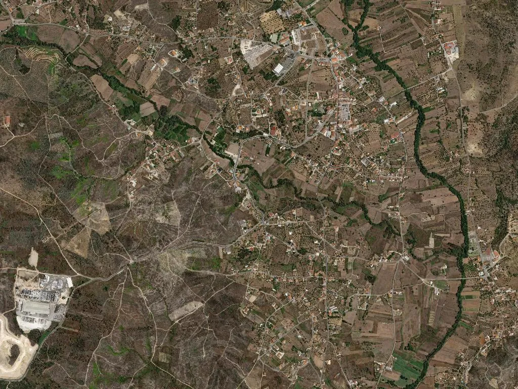
The oil pools on the terracotta plate, slow as mercury, the colour of young straw. Through the tavern window the morning light strikes it and the surface flashes like liquid glass. Outside, the Ribatejo plain rolls away in silver-green waves: olive trees planted on contour lines so precise they might have been drawn with a compass, interrupted only by the occasional dark crown of a holm oak. The air smells of warm resin and dry earth; a skylark is singing somewhere too high to see. This is the civil parish of Freixianda, Ribeira do Fárrio and Formigais – three medieval villages stitched together in the 2013 local-government reforms, still keeping their separate pulse beats.
Three names, one continuous field system
Freixianda was first chartered in 1253, Ribeira do Fárrio seventeen years later, Formigais a decade after that. The frontier was still moving when these places were laid out; their names read like footnotes to a land-registry dispute. Freixianda derives from Fraxineta, “ash-tree place”, though ash has long since ceded the territory to olive. Walk the lanes between the properties and you are walking a calendar: winter pruning, autumn harvest, the slow turn of hand-presses that once drove the local economy almost alone. Today 3,226 people share 64 km² – barely fifty souls per square kilometre – and the silence is granular. Whitewashed walls throw back the sun; gates stand ajar as if the next visitor might arrive on foot some time after lunch. Inside Café O Pátio the second espresso of the morning is being drained while the counter debate moves from olive yields to the price of diesel with the same fatalism other regions reserve for football scores.
Ribatejo DOP: oil with a postcode
The denomination covers only a wedge of Portugal’s interior, but within that wedge the chemistry is exact: limestone soils, Atlantic winters that never quite bite, summers that hover around 38 °C, and century-old trees that crop small, fierce-flavoured fruit. At Lagar do Zé Manel, halfway between Freixianda and Ribeira, the new season’s oil smells of torn grass and green banana. Dip a corner of yesterday’s bread, add a pinch of coarse salt, and the oil drapes the tongue like velvet before the peppery kick arrives. This is not finishing oil dribbled on a restaurant plate; it is the base note of every household dish – potatoes simply boiled and doused, vegetable soup with a poached egg bobbing in the centre, cod roasted in a bread oven until the edges crisp. On Saturdays Celeste opens her one-room tasca and serves migas – breadcrumbs sautéed with pork rib – that taste of smoke, olive and the previous night’s wood fire.
Footprints set in stone
Five kilometres east the arable plain buckles into low scarps of Jurassic limestone. Here, at the Ourém–Torres Novas dinosaur track site, 150-million-year-old sauropod prints run across the bedrock like a line of oversized teacup stains. The prints are accessible, roped off but close enough to touch; local schoolchildren still press a palm into the largest and make a wish. Around the outcrop the scrub is textbook Mediterranean: lemon-scented rosemary, resinous cistus, thyme that the older villagers collect for winter tisanes. It is a landscape of minor elevations where stone breaks the surface and ferns lodge in the fissures until the first rains.
A pilgrim’s quiet artery
The parish lies on the Caminho de Fátima, the least dramatised of the routes that converge on the shrine 18 km to the north. Walkers arrive with the dust of the Tagus basin on their boots, following yellow arrows painted on electricity poles. There are no souvenir stalls, no hostels – only the sound of feet on packed earth, the wind combing the olive crowns, and, at Fonte da Pipa, an unspoken arrangement: a plastic jug of water and a chorizo roll left on the wall for whoever comes next. By late afternoon the low sun gilds the cottage walls and the olive oil flashes again on the plate. The place asks for nothing hurried – just attention to the small intensities: the saline snap of a freshly picked olive, the fossil ripple under a fingertip, the hush that feels almost physical as the day’s heat begins to lift.